5320 Hampstead Way Duluth, GA 30097
Estimated Value: $701,000 - $797,000
5
Beds
4
Baths
2,842
Sq Ft
$261/Sq Ft
Est. Value
About This Home
This home is located at 5320 Hampstead Way, Duluth, GA 30097 and is currently estimated at $740,544, approximately $260 per square foot. 5320 Hampstead Way is a home located in Fulton County with nearby schools including Medlock Bridge Elementary School, River Trail Middle School, and Northview High School.
Ownership History
Date
Name
Owned For
Owner Type
Purchase Details
Closed on
Jan 19, 2016
Sold by
Bain David L
Bought by
Bain David L and Bain Janet J
Current Estimated Value
Home Financials for this Owner
Home Financials are based on the most recent Mortgage that was taken out on this home.
Original Mortgage
$282,100
Outstanding Balance
$224,507
Interest Rate
3.98%
Mortgage Type
New Conventional
Estimated Equity
$516,037
Create a Home Valuation Report for This Property
The Home Valuation Report is an in-depth analysis detailing your home's value as well as a comparison with similar homes in the area
Purchase History
| Date | Buyer | Sale Price | Title Company |
|---|---|---|---|
| Bain David L | -- | -- |
Source: Public Records
Mortgage History
| Date | Status | Borrower | Loan Amount |
|---|---|---|---|
| Open | Bain David L | $282,100 |
Source: Public Records
Tax History
| Year | Tax Paid | Tax Assessment Tax Assessment Total Assessment is a certain percentage of the fair market value that is determined by local assessors to be the total taxable value of land and additions on the property. | Land | Improvement |
|---|---|---|---|---|
| 2025 | $3,717 | $265,920 | $59,920 | $206,000 |
| 2023 | $6,749 | $239,120 | $38,560 | $200,560 |
| 2022 | $3,702 | $191,480 | $31,800 | $159,680 |
| 2021 | $3,649 | $157,440 | $36,440 | $121,000 |
| 2020 | $3,668 | $152,240 | $36,000 | $116,240 |
| 2019 | $407 | $149,520 | $35,360 | $114,160 |
| 2018 | $4,240 | $146,000 | $34,520 | $111,480 |
| 2017 | $3,778 | $123,160 | $21,240 | $101,920 |
| 2016 | $4,027 | $132,440 | $21,240 | $111,200 |
| 2015 | $3,986 | $129,960 | $21,240 | $108,720 |
| 2014 | $4,123 | $129,960 | $21,240 | $108,720 |
Source: Public Records
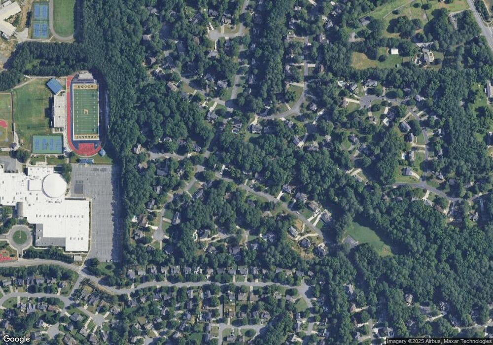
Map
Nearby Homes
- 5415 Taylor Rd
- 5425 Taylor Rd Unit 2
- 465 Mikasa Dr
- 11130 Touraine Ct
- 5121 Anclote Dr
- 5140 N Bridges Dr Unit 2
- 215 Pine Bridge Trail
- 5020 Cinnabar Dr
- 120 Creekside Park Dr
- 11370 Saint Patrice Way
- 215 Boca Ciega Ct
- 10875 Mortons Crossing
- 4960 Agate Dr
- 11260 Donnington Dr
- 10840 Mortons Crossing
- 4815 Tanners Spring Dr
- 225 Morton Creek Cir
- 130 Wyndlam Ct
- 190 Red Hawk Trail
- 335 Dunhill Way Ct
- 5330 Hampstead Way
- 5310 Hampstead Way
- 5300 Hampstead Way Unit 4
- 5340 Hampstead Way
- 11095 Linbrook Ln Unit 2
- 5315 Hampstead Way
- 5325 Hampstead Way
- 11055 Wilshire Chase Dr
- 11025 Wilshire Chase Dr
- 11099 Linbrook Ln
- 5350 Hampstead Way
- 115 Lowridge Ct
- 115 Bellhaven Ct
- 205 Hampstead Ct
- 11015 Wilshire Chase Dr
- 111000 Linbrook Ln
- 11103 Linbrook Ln
- 11065 Linbrook Ln
- 11065 Linbrook Ln Unit 67
- 125 Bellhaven Ct Unit 4
Your Personal Tour Guide
Ask me questions while you tour the home.