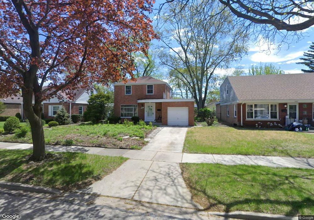
5321 Carol St Skokie, IL 60077
Southwest Skokie NeighborhoodEstimated Value: $349,000 - $446,744
3
Beds
2
Baths
1,196
Sq Ft
$345/Sq Ft
Est. Value
About This Home
This home is located at 5321 Carol St, Skokie, IL 60077 and is currently estimated at $412,686, approximately $345 per square foot. 5321 Carol St is a home located in Cook County with nearby schools including Madison Elementary School, Thomas Edison Elementary School, and Lincoln Junior High School.
Ownership History
Date
Name
Owned For
Owner Type
Purchase Details
Closed on
Nov 30, 2022
Sold by
Rodeghero Deborah L
Bought by
Chicago Title Land Trust Company
Current Estimated Value
Purchase Details
Closed on
Aug 28, 2009
Sold by
Chicago Title Land Trust Company
Bought by
Rodeghero Deborah
Home Financials for this Owner
Home Financials are based on the most recent Mortgage that was taken out on this home.
Original Mortgage
$231,000
Interest Rate
5.27%
Mortgage Type
New Conventional
Create a Home Valuation Report for This Property
The Home Valuation Report is an in-depth analysis detailing your home's value as well as a comparison with similar homes in the area
Home Values in the Area
Average Home Value in this Area
Purchase History
| Date | Buyer | Sale Price | Title Company |
|---|---|---|---|
| Chicago Title Land Trust Company | -- | Chicago Title | |
| Rodeghero Deborah | -- | Multiple |
Source: Public Records
Mortgage History
| Date | Status | Borrower | Loan Amount |
|---|---|---|---|
| Previous Owner | Rodeghero Deborah | $231,000 |
Source: Public Records
Tax History Compared to Growth
Tax History
| Year | Tax Paid | Tax Assessment Tax Assessment Total Assessment is a certain percentage of the fair market value that is determined by local assessors to be the total taxable value of land and additions on the property. | Land | Improvement |
|---|---|---|---|---|
| 2024 | $5,043 | $16,569 | $4,836 | $11,733 |
| 2023 | $5,011 | $19,153 | $4,836 | $14,317 |
| 2022 | $5,011 | $19,153 | $4,836 | $14,317 |
| 2021 | $3,936 | $13,865 | $2,976 | $10,889 |
| 2020 | $3,982 | $13,865 | $2,976 | $10,889 |
| 2019 | $4,016 | $15,579 | $2,976 | $12,603 |
| 2018 | $3,894 | $13,969 | $2,697 | $11,272 |
| 2017 | $3,931 | $13,969 | $2,697 | $11,272 |
| 2016 | $4,310 | $13,969 | $2,697 | $11,272 |
| 2015 | $3,969 | $12,428 | $2,325 | $10,103 |
| 2014 | $3,890 | $12,428 | $2,325 | $10,103 |
| 2013 | $3,931 | $12,428 | $2,325 | $10,103 |
Source: Public Records
Map
Nearby Homes
- 5309 Crain St
- 8717 Gross Point Rd
- 8655 Harms Rd
- 5352 Greenwood St
- 8605 Laramie Ave
- 5317 Suffield Ct
- 5247 Suffield Ct
- 8541 Lotus Ave Unit 914
- 8461 Gross Point Rd
- 5109 Greenleaf St
- 5032 Crain St
- 8708 Central Ave
- 5536 Greenwood St
- 5500 Lincoln Ave
- 5500 Lincoln Ave Unit 116E
- 5500 Lincoln Ave Unit 109W
- 5346 Suffield Terrace
- 5510 Lincoln Ave Unit B301
- 5510 Lincoln Ave Unit B101
- 5506 Lincoln Ave Unit A117