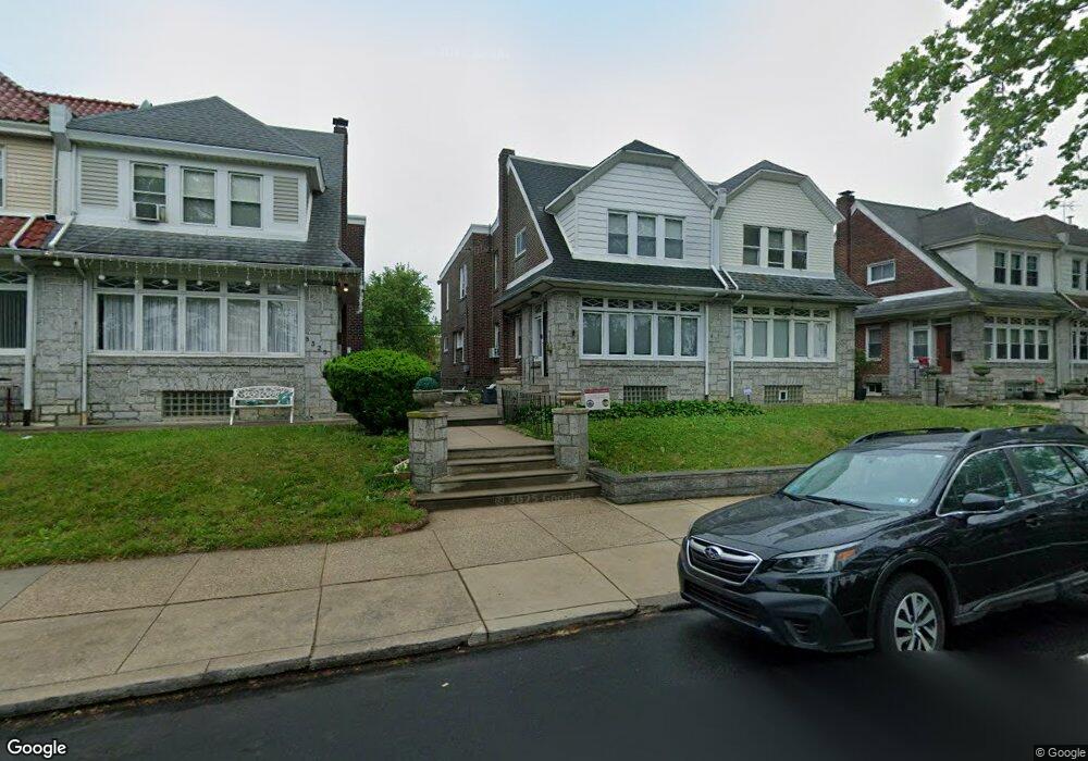
5323 Castor Ave Philadelphia, PA 19124
Lawncrest NeighborhoodEstimated Value: $242,000 - $343,000
4
Beds
1
Bath
2,280
Sq Ft
$128/Sq Ft
Est. Value
About This Home
This home is located at 5323 Castor Ave, Philadelphia, PA 19124 and is currently estimated at $292,277, approximately $128 per square foot. 5323 Castor Ave is a home with nearby schools including Frankford High School, The Philadelphia Charter School for the Arts & Sciences, and St Martin Of Tours Catholic School.
Ownership History
Date
Name
Owned For
Owner Type
Purchase Details
Closed on
Oct 29, 2001
Sold by
Lepera Vincent J and Lepera Marguerite E
Bought by
Sandiford Matilda A
Current Estimated Value
Home Financials for this Owner
Home Financials are based on the most recent Mortgage that was taken out on this home.
Original Mortgage
$93,263
Outstanding Balance
$35,333
Interest Rate
6.6%
Mortgage Type
FHA
Estimated Equity
$256,944
Create a Home Valuation Report for This Property
The Home Valuation Report is an in-depth analysis detailing your home's value as well as a comparison with similar homes in the area
Home Values in the Area
Average Home Value in this Area
Purchase History
| Date | Buyer | Sale Price | Title Company |
|---|---|---|---|
| Sandiford Matilda A | $94,000 | -- |
Source: Public Records
Mortgage History
| Date | Status | Borrower | Loan Amount |
|---|---|---|---|
| Open | Sandiford Matilda A | $93,263 |
Source: Public Records
Tax History Compared to Growth
Tax History
| Year | Tax Paid | Tax Assessment Tax Assessment Total Assessment is a certain percentage of the fair market value that is determined by local assessors to be the total taxable value of land and additions on the property. | Land | Improvement |
|---|---|---|---|---|
| 2026 | $3,221 | $275,000 | $55,000 | $220,000 |
| 2025 | $3,221 | $275,000 | $55,000 | $220,000 |
| 2024 | $3,221 | $275,000 | $55,000 | $220,000 |
| 2023 | $3,221 | $230,100 | $46,020 | $184,080 |
| 2022 | $1,827 | $185,100 | $46,020 | $139,080 |
| 2021 | $2,457 | $0 | $0 | $0 |
| 2020 | $2,457 | $0 | $0 | $0 |
| 2019 | $2,357 | $0 | $0 | $0 |
| 2018 | $2,089 | $0 | $0 | $0 |
| 2017 | $2,508 | $0 | $0 | $0 |
| 2016 | $17,510 | $0 | $0 | $0 |
| 2015 | $17,510 | $0 | $0 | $0 |
| 2014 | -- | $179,200 | $61,018 | $118,182 |
| 2012 | -- | $22,464 | $4,090 | $18,374 |
Source: Public Records
Map
Nearby Homes
- 1048 Bridge St
- 5661 Miriam Rd
- 5659 Miriam Rd
- 1137 Bridge St
- 5640 Miriam Rd
- 996 Anchor St
- 991 Carver St
- 1209 E Sanger St
- 1431 Rosalie St
- 972 Bridge St
- 5902 E Roosevelt Blvd
- 1225 E Cheltenham Ave
- 5347 Sylvester St
- 1244 E Sanger St
- 1211 E Cheltenham Ave
- 934 Brill St
- 5505 Loretto Ave
- 1204 Pratt St
- 5900 Loretto Ave
- 1218 Pratt St
- 5321 Castor Ave
- 5319 Castor Ave
- 5325 Castor Ave
- 5327 Castor Ave
- 5329 Castor Ave
- 5315 Castor Ave
- 5331 Castor Ave
- 5313 Castor Ave
- 5388 Oxford Ave Unit 1ST FLOOR
- 5390 Oxford Ave
- 5333 Castor Ave
- 5386 Oxford Ave
- 5392 Oxford Ave
- 5311 Castor Ave
- 5384 Oxford Ave
- 5394 Oxford Ave
- 5318 Rutland St
- 5335 Castor Ave
- 5396 Oxford Ave
- 5316 Rutland St