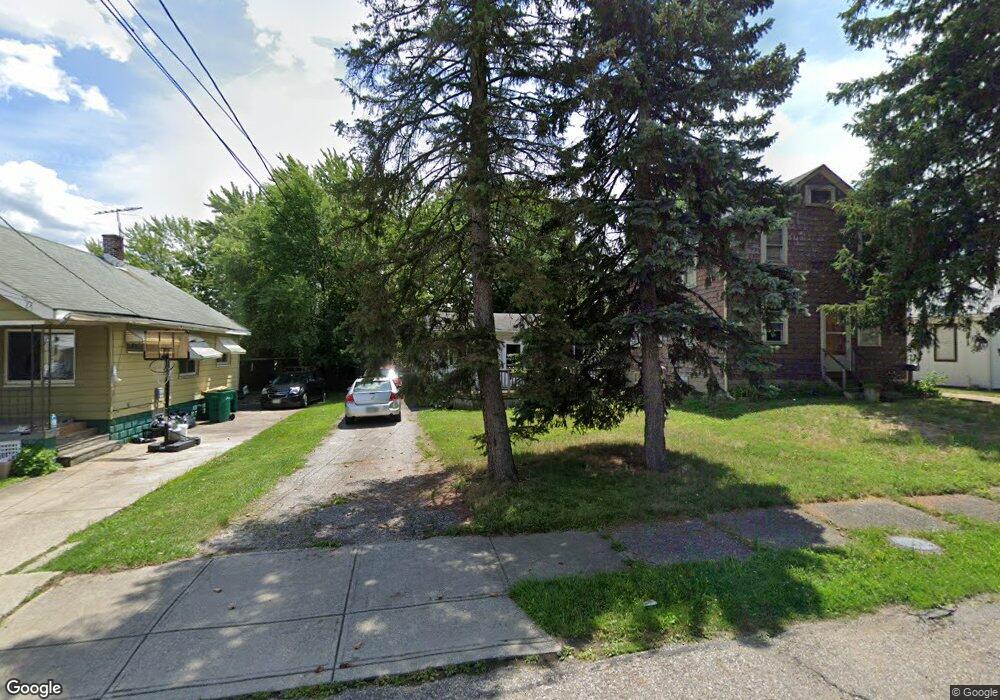
5325 Kohout St Maple Heights, OH 44137
Estimated Value: $106,223 - $147,000
2
Beds
1
Bath
984
Sq Ft
$124/Sq Ft
Est. Value
About This Home
This home is located at 5325 Kohout St, Maple Heights, OH 44137 and is currently estimated at $121,806, approximately $123 per square foot. 5325 Kohout St is a home located in Cuyahoga County with nearby schools including Abraham Lincoln Elementary School, Rockside/ J.F. Kennedy School, and Barack Obama School.
Ownership History
Date
Name
Owned For
Owner Type
Purchase Details
Closed on
Dec 30, 2009
Sold by
Peterson Dorothy
Bought by
Peterson Scott M
Current Estimated Value
Purchase Details
Closed on
Apr 13, 1994
Bought by
Peterson Dorothy
Purchase Details
Closed on
Dec 30, 1992
Sold by
Vignone George E
Bought by
Sec. Of H.U.D.
Purchase Details
Closed on
Jun 22, 1984
Sold by
Kristoff Julius J
Bought by
Vignone George E
Purchase Details
Closed on
May 19, 1982
Sold by
Kristoff Julius J and Kristoff Bertha J
Bought by
Kristoff Julius J
Purchase Details
Closed on
Jan 1, 1975
Bought by
Kristoff Julius J and Kristoff Bertha J
Create a Home Valuation Report for This Property
The Home Valuation Report is an in-depth analysis detailing your home's value as well as a comparison with similar homes in the area
Home Values in the Area
Average Home Value in this Area
Purchase History
| Date | Buyer | Sale Price | Title Company |
|---|---|---|---|
| Peterson Scott M | -- | Chagrin Valley Title & Escro | |
| Peterson Dorothy | -- | -- | |
| Sec. Of H.U.D. | -- | -- | |
| Vignone George E | $27,000 | -- | |
| Kristoff Julius J | -- | -- | |
| Kristoff Julius J | -- | -- |
Source: Public Records
Tax History
| Year | Tax Paid | Tax Assessment Tax Assessment Total Assessment is a certain percentage of the fair market value that is determined by local assessors to be the total taxable value of land and additions on the property. | Land | Improvement |
|---|---|---|---|---|
| 2024 | $3,317 | $36,925 | $7,455 | $29,470 |
| 2023 | $2,133 | $19,570 | $3,990 | $15,580 |
| 2022 | $2,126 | $19,565 | $3,990 | $15,575 |
| 2021 | $2,263 | $19,570 | $3,990 | $15,580 |
| 2020 | $1,938 | $14,810 | $3,010 | $11,800 |
| 2019 | $1,927 | $42,300 | $8,600 | $33,700 |
| 2018 | $1,855 | $14,810 | $3,010 | $11,800 |
| 2017 | $1,941 | $14,710 | $3,820 | $10,890 |
| 2016 | $1,878 | $14,710 | $3,820 | $10,890 |
| 2015 | $2,445 | $14,710 | $3,820 | $10,890 |
| 2014 | $2,445 | $15,160 | $3,920 | $11,240 |
Source: Public Records
Map
Nearby Homes
- 15095 Granger Rd
- 14512 Granger Rd
- 14510 Granger Rd
- 14305 Granger Rd
- 5220 Forest Ave
- 5179 Milo Ave
- 14113 Maple Ave
- 13704 Linn Ave
- 13719 Wolf Ave
- 5408 Roland Dr
- 5370 Lee Rd Unit 302
- 14818 Reddington Ave
- 16174 Friend Ave
- 5382 Lee Rd Unit 102
- 5382 Lee Rd Unit 204
- 5382 Lee Rd Unit 202
- 16101 Raymond St
- 13417 Granger Rd
- 5270 E 135th St
- 14619 Tokay Ave
- 5321 Kohout St
- 5331 Kohout St
- 5335 Kohout St
- 5317 Kohout St
- 5313 Kohout St
- 5342 Meadow St
- 5338 Meadow St
- 5346 Meadow St
- 5334 Meadow St
- 5350 Meadow St
- 5311 Kohout St
- 14701 Granger Rd
- 5324 Kohout St
- 5320 Kohout St
- 5330 Meadow St
- 5316 Kohout St
- 14713 Granger Rd
- 5305 Kohout St
- 5328 Kohout St
- 5326 Meadow St
Your Personal Tour Guide
Ask me questions while you tour the home.