5325 Spalding Bridge Ct Unit 1 Norcross, GA 30092
Estimated Value: $644,059 - $689,000
4
Beds
4
Baths
2,827
Sq Ft
$234/Sq Ft
Est. Value
About This Home
This home is located at 5325 Spalding Bridge Ct Unit 1, Norcross, GA 30092 and is currently estimated at $660,265, approximately $233 per square foot. 5325 Spalding Bridge Ct Unit 1 is a home located in Gwinnett County with nearby schools including Simpson Elementary School, Pinckneyville Middle School, and Norcross High School.
Ownership History
Date
Name
Owned For
Owner Type
Purchase Details
Closed on
Aug 31, 2000
Sold by
D R Horton Inc
Bought by
Lachev Teodor and Lachev Elena
Current Estimated Value
Home Financials for this Owner
Home Financials are based on the most recent Mortgage that was taken out on this home.
Original Mortgage
$226,592
Outstanding Balance
$80,048
Interest Rate
8.05%
Mortgage Type
New Conventional
Estimated Equity
$580,217
Create a Home Valuation Report for This Property
The Home Valuation Report is an in-depth analysis detailing your home's value as well as a comparison with similar homes in the area
Home Values in the Area
Average Home Value in this Area
Purchase History
| Date | Buyer | Sale Price | Title Company |
|---|---|---|---|
| Lachev Teodor | $283,300 | -- |
Source: Public Records
Mortgage History
| Date | Status | Borrower | Loan Amount |
|---|---|---|---|
| Open | Lachev Teodor | $226,592 |
Source: Public Records
Tax History Compared to Growth
Tax History
| Year | Tax Paid | Tax Assessment Tax Assessment Total Assessment is a certain percentage of the fair market value that is determined by local assessors to be the total taxable value of land and additions on the property. | Land | Improvement |
|---|---|---|---|---|
| 2025 | $6,257 | $235,200 | $43,600 | $191,600 |
| 2024 | $6,408 | $235,200 | $43,600 | $191,600 |
| 2023 | $6,408 | $242,440 | $43,600 | $198,840 |
| 2022 | $4,721 | $152,960 | $32,320 | $120,640 |
| 2021 | $4,820 | $152,960 | $32,320 | $120,640 |
| 2020 | $4,852 | $158,320 | $32,320 | $126,000 |
| 2019 | $4,096 | $146,160 | $24,800 | $121,360 |
| 2018 | $4,216 | $129,200 | $24,800 | $104,400 |
| 2016 | $3,708 | $107,720 | $24,800 | $82,920 |
| 2015 | $3,659 | $103,666 | $21,080 | $82,586 |
| 2014 | -- | $106,000 | $24,800 | $81,200 |
Source: Public Records
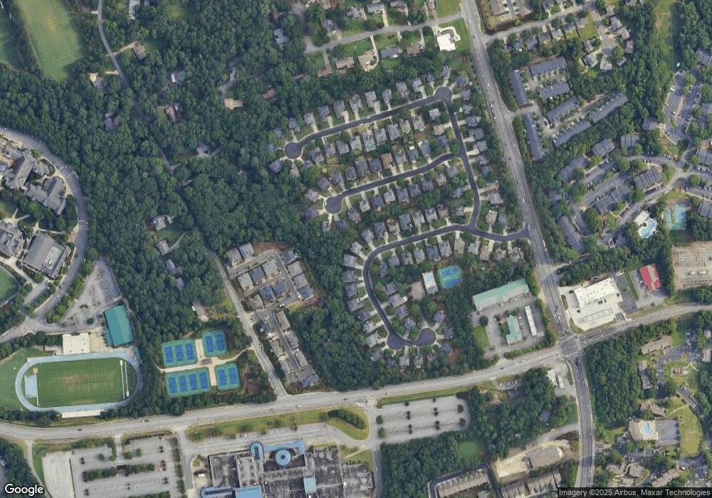
Map
Nearby Homes
- 5355 Spalding Bridge Ct
- 3630 Bridge Mill Ct Unit 2
- 3179 Rock Port Cir
- 3225 Claudia Place
- 5211 Montine Way
- 3239 Claudia Ct
- 3204 Claudia Place
- 5196 Medlock Corners Dr
- 3725 Highcroft Cir
- 3680 Highcroft Cir
- 5064 Insperon Ln Unit 34
- Olmstead Plan at Town Center Overlook
- Lynnwood Plan at Town Center Overlook
- 0 Medlock Bridge Rd Unit 7311679
- 3875 Ancroft Cir
- 4897 Lou Ivy Rd
- 4924 Waterport Way
- 5018 Wickford Dr
- 4906 Berkeley Oak Cir
- 5315 Spalding Bridge Ct Unit 12
- 5335 Spalding Bridge Ct
- 5352 Spalding Mill Place
- 5305 Spalding Bridge Ct Unit 1
- 5342 Spalding Mill Place
- 5345 Spalding Bridge Ct
- 5362 Spalding Mill Place
- 5330 Spalding Bridge Ct
- 5322 Spalding Mill Place Unit 2
- 5300 Spalding Bridge Ct
- 5295 Spalding Bridge Ct
- 5312 Spalding Mill Place Unit 2
- 5290 Spalding Bridge Ct
- 5360 Spalding Bridge Ct
- 5285 Spalding Bridge Ct
- 5365 Spalding Bridge Ct Unit 2
- 5302 Spalding Mill Place Unit 2
- 5341 Whitaker St
- 5351 Whitaker St
- 5367 Spalding Mill Place