5326 Al Jones Dr Unit B Shady Side, MD 20764
Estimated Value: $436,000 - $549,000
--
Bed
3
Baths
1,680
Sq Ft
$290/Sq Ft
Est. Value
About This Home
This home is located at 5326 Al Jones Dr Unit B, Shady Side, MD 20764 and is currently estimated at $486,884, approximately $289 per square foot. 5326 Al Jones Dr Unit B is a home located in Anne Arundel County with nearby schools including Shady Side Elementary School, Southern Middle School, and Southern High School.
Ownership History
Date
Name
Owned For
Owner Type
Purchase Details
Closed on
Jul 19, 2016
Sold by
Devito Brenda C and Devito Michael C
Bought by
Delabrer Michael
Current Estimated Value
Home Financials for this Owner
Home Financials are based on the most recent Mortgage that was taken out on this home.
Original Mortgage
$273,307
Outstanding Balance
$216,692
Interest Rate
3.37%
Mortgage Type
FHA
Estimated Equity
$270,192
Purchase Details
Closed on
Dec 11, 2013
Sold by
Devito Brenda C and Brenda C Devito Living Trust
Bought by
The Devito Trust
Purchase Details
Closed on
Apr 18, 2008
Sold by
Devito Michael
Bought by
Devito Brenda C
Purchase Details
Closed on
Mar 21, 2008
Sold by
Devito Michael
Bought by
Devito Brenda C
Purchase Details
Closed on
Jan 18, 2007
Sold by
Four Star Properties Llc
Bought by
Devito Michael and Devito Brenda
Home Financials for this Owner
Home Financials are based on the most recent Mortgage that was taken out on this home.
Original Mortgage
$57,700
Interest Rate
6.29%
Mortgage Type
Stand Alone Second
Purchase Details
Closed on
Dec 13, 2006
Sold by
Four Star Properties Llc
Bought by
Devito Michael and Devito Brenda
Home Financials for this Owner
Home Financials are based on the most recent Mortgage that was taken out on this home.
Original Mortgage
$57,700
Interest Rate
6.29%
Mortgage Type
Stand Alone Second
Purchase Details
Closed on
Jun 30, 2006
Sold by
Lansinger William C
Bought by
Four Star Properties Llc
Home Financials for this Owner
Home Financials are based on the most recent Mortgage that was taken out on this home.
Original Mortgage
$279,000
Interest Rate
6.34%
Mortgage Type
Purchase Money Mortgage
Purchase Details
Closed on
Apr 20, 2006
Sold by
Lansinger William C
Bought by
Four Star Properties Llc
Home Financials for this Owner
Home Financials are based on the most recent Mortgage that was taken out on this home.
Original Mortgage
$279,000
Interest Rate
6.34%
Mortgage Type
Purchase Money Mortgage
Purchase Details
Closed on
Jun 1, 2005
Sold by
Harris Benjamin
Bought by
Lansinger William C and Lansinger Charlotte A
Create a Home Valuation Report for This Property
The Home Valuation Report is an in-depth analysis detailing your home's value as well as a comparison with similar homes in the area
Home Values in the Area
Average Home Value in this Area
Purchase History
| Date | Buyer | Sale Price | Title Company |
|---|---|---|---|
| Delabrer Michael | $278,350 | Michaels Title & Escrow Llc | |
| The Devito Trust | -- | None Available | |
| Devito Brenda C | -- | -- | |
| Devito Brenda C | -- | -- | |
| Devito Michael | $384,900 | -- | |
| Devito Michael | $384,900 | -- | |
| Four Star Properties Llc | $125,000 | -- | |
| Four Star Properties Llc | $125,000 | -- | |
| Lansinger William C | $220,000 | -- |
Source: Public Records
Mortgage History
| Date | Status | Borrower | Loan Amount |
|---|---|---|---|
| Open | Delabrer Michael | $273,307 | |
| Previous Owner | Devito Michael | $57,700 | |
| Previous Owner | Devito Michael | $57,700 | |
| Previous Owner | Four Star Properties Llc | $279,000 | |
| Previous Owner | Four Star Properties Llc | $279,000 |
Source: Public Records
Tax History Compared to Growth
Tax History
| Year | Tax Paid | Tax Assessment Tax Assessment Total Assessment is a certain percentage of the fair market value that is determined by local assessors to be the total taxable value of land and additions on the property. | Land | Improvement |
|---|---|---|---|---|
| 2025 | $6,069 | $398,200 | -- | -- |
| 2024 | $6,069 | $369,600 | $0 | $0 |
| 2023 | $5,742 | $341,000 | $121,100 | $219,900 |
| 2022 | $5,359 | $328,800 | $0 | $0 |
| 2021 | $10,017 | $316,600 | $0 | $0 |
| 2020 | $4,816 | $304,400 | $116,100 | $188,300 |
| 2019 | $4,732 | $300,667 | $0 | $0 |
| 2018 | $3,011 | $296,933 | $0 | $0 |
| 2017 | $4,570 | $293,200 | $0 | $0 |
| 2016 | -- | $291,133 | $0 | $0 |
| 2015 | -- | $289,067 | $0 | $0 |
| 2014 | -- | $287,000 | $0 | $0 |
Source: Public Records
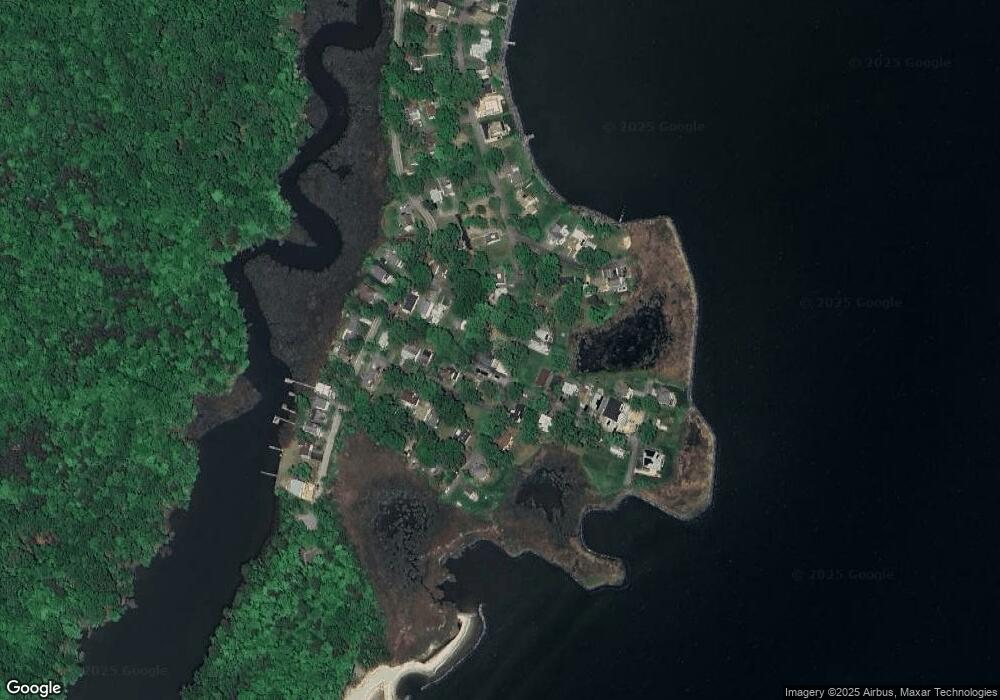
Map
Nearby Homes
- 5314 Al Jones Dr
- 1503 Callaway Dr
- 1731 Columbia Beach Rd
- 1711 Columbia Beach Rd
- 5250 Al Jones Dr
- 5235 Al Jones Dr
- 5211 Al Jones Dr
- 1512 Lincoln Rd
- 1445 & 1447 Haile Pkwy
- 0 Haile Pkwy Unit MDAA2127474
- 1461 Cedarhurst Rd
- 1436 Haile Pkwy
- 1213 Oak Ave
- 1428 Haile Pkwy
- 1408 & 1410 Haile Pkwy
- 1208 Oak Ave
- 6070 Shady Side Rd
- 1220 Grove Ave
- 0 Shady Side Rd Unit MDAA2113156
- 0 Shady Side Rd Unit MDAA2113166
- 5326 Al Jones Drive B
- 5326 Al Jones Dr
- 5326 Al Jones Dr Unit A
- 5326 Al Jones Drive A
- 5326-B Al Jones Dr
- 5324 Al Jones Dr
- 1507 Ellington Dr
- 1503 Ellington Drive A
- 1503 Ellington Dr
- 1503 Ellington Dr
- 1505 Ellington Dr
- 5329 Al Jones Dr
- 1514 Callaway Dr
- 5325 Al Jones Dr
- 1510 Callaway Dr
- 5320 Al Jones Dr
- 5323 Al Jones Dr
- 5321 Al Jones Dr
- 1518 Bay Dr
- 1506 Ellington Dr