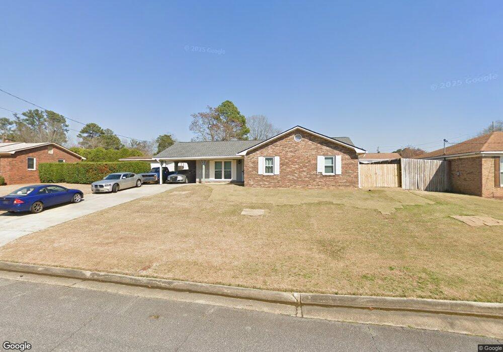
5326 Rockhurst Dr Columbus, GA 31907
Midland NeighborhoodEstimated Value: $203,906 - $222,000
3
Beds
3
Baths
1,621
Sq Ft
$131/Sq Ft
Est. Value
About This Home
This home is located at 5326 Rockhurst Dr, Columbus, GA 31907 and is currently estimated at $212,477, approximately $131 per square foot. 5326 Rockhurst Dr is a home located in Muscogee County with nearby schools including Waddell Elementary School, Midland Middle School, and Hardaway High School.
Ownership History
Date
Name
Owned For
Owner Type
Purchase Details
Closed on
Feb 16, 2018
Sold by
Clark Stephen
Bought by
Persaud Anand
Current Estimated Value
Home Financials for this Owner
Home Financials are based on the most recent Mortgage that was taken out on this home.
Original Mortgage
$139,451
Outstanding Balance
$118,250
Interest Rate
4.04%
Mortgage Type
VA
Estimated Equity
$94,227
Create a Home Valuation Report for This Property
The Home Valuation Report is an in-depth analysis detailing your home's value as well as a comparison with similar homes in the area
Home Values in the Area
Average Home Value in this Area
Purchase History
| Date | Buyer | Sale Price | Title Company |
|---|---|---|---|
| Persaud Anand | $135,000 | -- |
Source: Public Records
Mortgage History
| Date | Status | Borrower | Loan Amount |
|---|---|---|---|
| Open | Persaud Anand | $139,451 |
Source: Public Records
Tax History
| Year | Tax Paid | Tax Assessment Tax Assessment Total Assessment is a certain percentage of the fair market value that is determined by local assessors to be the total taxable value of land and additions on the property. | Land | Improvement |
|---|---|---|---|---|
| 2025 | -- | $57,408 | $10,696 | $46,712 |
| 2024 | -- | $57,408 | $10,696 | $46,712 |
| 2023 | $1,908 | $57,408 | $10,696 | $46,712 |
| 2022 | $1,908 | $46,728 | $10,696 | $36,032 |
| 2021 | $1,851 | $45,340 | $10,696 | $34,644 |
| 2020 | $1,852 | $45,340 | $10,696 | $34,644 |
| 2019 | $1,858 | $45,340 | $10,696 | $34,644 |
| 2018 | $1,361 | $49,984 | $10,696 | $39,288 |
| 2017 | $1,368 | $49,984 | $10,696 | $39,288 |
| 2016 | $1,374 | $46,575 | $5,836 | $40,739 |
| 2015 | $1,376 | $46,575 | $5,836 | $40,739 |
| 2014 | $1,378 | $46,575 | $5,836 | $40,739 |
| 2013 | -- | $46,575 | $5,836 | $40,739 |
Source: Public Records
Map
Nearby Homes
- 5369 Rockhurst Dr
- 5310 Shanna Ln
- 5422 Brookview Dr
- 5434 Rockhurst Dr
- 6215 Parker Dr
- 6236 Olde Towne Dr
- 5640 Lakeshore Rd
- 5809 Ironstone Dr
- 5717 Flat Rock Rd
- 4931 Woodruff Farm Rd
- 7310 Macon Rd
- 7101 Cross Tie Dr
- 5824 Bishop Dr
- 7240 Westport Loop
- 7170 Beaver Run Rd
- 4628 Sears Rd
- 5260 Woodruff Farm Rd
- 5018 Woodruff Farm Rd
- 6454 Patriot Dr
- 6315 Rockefeller Dr
- 5320 Rockhurst Dr
- 6415 Thornhill Dr
- 5334 Rockhurst Dr
- 2 Wabash Ct
- 6423 Thornhill Dr
- 5331 Rockhurst Dr
- 5325 Rockhurst Dr
- 5337 Rockhurst Dr
- 6410 Thornhill Dr
- 6400 Thornhill Dr
- 5319 Rockhurst Dr
- 6429 Thornhill Dr
- 3 Wabash Ct
- 6416 Thornhill Dr
- 5343 Rockhurst Dr
- 6424 Thornhill Dr
- 5301 Rockhurst Dr
- 6340 Parker Dr
- 5349 Rockhurst Dr
- 5354 Rockhurst Dr