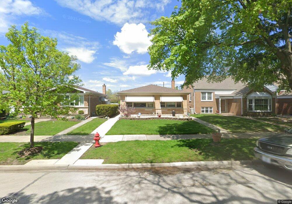
5328 Carol St Skokie, IL 60077
Southwest Skokie NeighborhoodEstimated Value: $454,000 - $472,000
4
Beds
2
Baths
1,618
Sq Ft
$287/Sq Ft
Est. Value
About This Home
This home is located at 5328 Carol St, Skokie, IL 60077 and is currently estimated at $463,962, approximately $286 per square foot. 5328 Carol St is a home located in Cook County with nearby schools including Madison Elementary School, Thomas Edison Elementary School, and Lincoln Junior High School.
Create a Home Valuation Report for This Property
The Home Valuation Report is an in-depth analysis detailing your home's value as well as a comparison with similar homes in the area
Home Values in the Area
Average Home Value in this Area
Tax History Compared to Growth
Tax History
| Year | Tax Paid | Tax Assessment Tax Assessment Total Assessment is a certain percentage of the fair market value that is determined by local assessors to be the total taxable value of land and additions on the property. | Land | Improvement |
|---|---|---|---|---|
| 2024 | $6,237 | $37,000 | $6,448 | $30,552 |
| 2023 | $6,431 | $37,000 | $6,448 | $30,552 |
| 2022 | $6,431 | $37,000 | $6,448 | $30,552 |
| 2021 | $8,240 | $26,083 | $3,968 | $22,115 |
| 2020 | $8,264 | $26,083 | $3,968 | $22,115 |
| 2019 | $8,319 | $29,307 | $3,968 | $25,339 |
| 2018 | $9,764 | $30,707 | $3,596 | $27,111 |
| 2017 | $9,829 | $30,707 | $3,596 | $27,111 |
| 2016 | $9,559 | $30,707 | $3,596 | $27,111 |
| 2015 | $9,320 | $26,100 | $3,100 | $23,000 |
| 2014 | $3,338 | $26,100 | $3,100 | $23,000 |
| 2013 | $3,463 | $26,100 | $3,100 | $23,000 |
Source: Public Records
Map
Nearby Homes
- 5309 Crain St
- 8717 Gross Point Rd
- 8655 Harms Rd
- 5352 Greenwood St
- 8605 Laramie Ave
- 5317 Suffield Ct
- 5247 Suffield Ct
- 8541 Lotus Ave Unit 914
- 8461 Gross Point Rd
- 5109 Greenleaf St
- 5032 Crain St
- 8708 Central Ave
- 5536 Greenwood St
- 5500 Lincoln Ave
- 5500 Lincoln Ave Unit 116E
- 5500 Lincoln Ave Unit 109W
- 5346 Suffield Terrace
- 5510 Lincoln Ave Unit B301
- 5510 Lincoln Ave Unit B101
- 5506 Lincoln Ave Unit A117