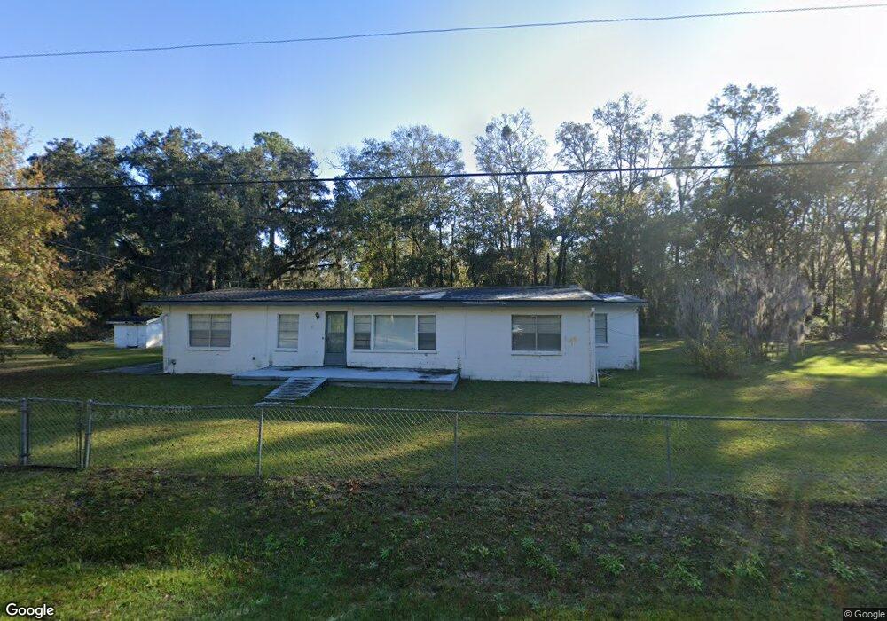
533 Carter Rd Allenhurst, GA 31301
Estimated Value: $184,000 - $296,000
2
Beds
2
Baths
2,097
Sq Ft
$112/Sq Ft
Est. Value
About This Home
This home is located at 533 Carter Rd, Allenhurst, GA 31301 and is currently estimated at $234,168, approximately $111 per square foot. 533 Carter Rd is a home located in Liberty County with nearby schools including Frank Long Elementary School, Lewis Frasier Middle School, and Liberty County High School.
Ownership History
Date
Name
Owned For
Owner Type
Purchase Details
Closed on
May 31, 2023
Sold by
Jones Thomas
Bought by
Jones Thomas and Brown Lori Jones
Current Estimated Value
Purchase Details
Closed on
Feb 11, 1998
Sold by
Martin Dolly
Bought by
Jones Thomas
Purchase Details
Closed on
Feb 10, 1998
Sold by
Martin Dolly
Bought by
Martin Dolly
Purchase Details
Closed on
Jul 1, 1966
Sold by
Martin Dolly
Bought by
Martin Dolly
Purchase Details
Closed on
Oct 9, 1959
Bought by
Martin Dolly
Create a Home Valuation Report for This Property
The Home Valuation Report is an in-depth analysis detailing your home's value as well as a comparison with similar homes in the area
Home Values in the Area
Average Home Value in this Area
Purchase History
| Date | Buyer | Sale Price | Title Company |
|---|---|---|---|
| Jones Thomas | -- | -- | |
| Jones Thomas | -- | -- | |
| Martin Dolly | -- | -- | |
| Martin Dolly | -- | -- | |
| Martin Dolly | -- | -- |
Source: Public Records
Tax History
| Year | Tax Paid | Tax Assessment Tax Assessment Total Assessment is a certain percentage of the fair market value that is determined by local assessors to be the total taxable value of land and additions on the property. | Land | Improvement |
|---|---|---|---|---|
| 2024 | $1,128 | $26,333 | $6,213 | $20,120 |
| 2023 | $949 | $24,247 | $6,213 | $18,034 |
| 2022 | $772 | $19,652 | $4,970 | $14,682 |
| 2021 | $715 | $18,242 | $4,970 | $13,272 |
| 2020 | $725 | $18,450 | $4,970 | $13,480 |
| 2019 | $714 | $18,658 | $4,970 | $13,688 |
| 2018 | $714 | $18,866 | $4,970 | $13,896 |
| 2017 | $809 | $19,074 | $4,970 | $14,104 |
Source: Public Records
Map
Nearby Homes
- 127 Busbee Rd
- 27 Zoe Ln
- 129 Vandiver Rd
- 143 Morningside Dr
- 1297 Talmadge Rd
- 155 Jefferson Cir SE
- 28 Beaumont Dr
- 34 Beaumont Dr
- 1338 Talmadge Rd
- 1343 Talmadge Rd
- 169 Wellspring Terrace
- 353 Wilder Rd
- 304 Thompson Rd
- 667 Godfrey Rd
- 0 & 1 Denise Ln
- 619 Mccumber Dr
- 192 Boundary Hall Way
- 337 Boundary Hall Way
- 152 Boundary Hall Way
- 185 Boundary Hall Way
Your Personal Tour Guide
Ask me questions while you tour the home.