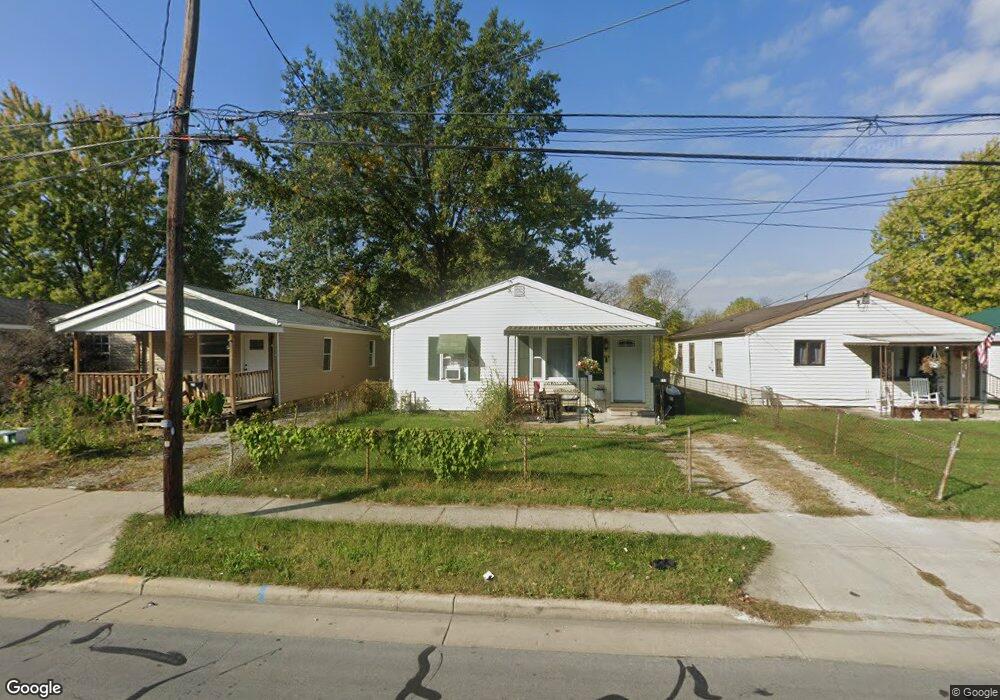
533 Clinton St Marion, OH 43302
Estimated Value: $68,134 - $128,000
2
Beds
1
Bath
962
Sq Ft
$102/Sq Ft
Est. Value
About This Home
This home is located at 533 Clinton St, Marion, OH 43302 and is currently estimated at $98,284, approximately $102 per square foot. 533 Clinton St is a home located in Marion County with nearby schools including James A. Garfield Elementary School, Ulysses S. Grant Middle School, and Harding High School.
Ownership History
Date
Name
Owned For
Owner Type
Purchase Details
Closed on
May 22, 2018
Sold by
Beam Jeffrey J and Darper Jan
Bought by
Lester Adam
Current Estimated Value
Purchase Details
Closed on
Nov 1, 2004
Bought by
Beam Ii Jeffrey J
Purchase Details
Closed on
Feb 19, 2004
Bought by
Beam Ii Jeffrey J
Purchase Details
Closed on
Dec 27, 1996
Bought by
Beam Ii Jeffrey J
Purchase Details
Closed on
Aug 3, 1994
Bought by
Beam Ii Jeffrey J
Create a Home Valuation Report for This Property
The Home Valuation Report is an in-depth analysis detailing your home's value as well as a comparison with similar homes in the area
Home Values in the Area
Average Home Value in this Area
Purchase History
| Date | Buyer | Sale Price | Title Company |
|---|---|---|---|
| Lester Adam | $21,000 | None Available | |
| Beam Ii Jeffrey J | -- | -- | |
| Beam Ii Jeffrey J | -- | -- | |
| Beam Ii Jeffrey J | $43,000 | -- | |
| Beam Ii Jeffrey J | $35,500 | -- |
Source: Public Records
Tax History
| Year | Tax Paid | Tax Assessment Tax Assessment Total Assessment is a certain percentage of the fair market value that is determined by local assessors to be the total taxable value of land and additions on the property. | Land | Improvement |
|---|---|---|---|---|
| 2025 | $951 | $16,950 | $1,500 | $15,450 |
| 2024 | $951 | $15,530 | $1,480 | $14,050 |
| 2023 | $951 | $15,530 | $1,480 | $14,050 |
| 2022 | $554 | $15,530 | $1,480 | $14,050 |
| 2021 | $726 | $12,100 | $1,290 | $10,810 |
| 2020 | $481 | $12,100 | $1,290 | $10,810 |
| 2019 | $481 | $12,100 | $1,290 | $10,810 |
| 2018 | $694 | $13,120 | $1,290 | $11,830 |
| 2017 | $1,404 | $13,120 | $1,290 | $11,830 |
| 2016 | $509 | $13,120 | $1,290 | $11,830 |
| 2015 | $506 | $12,760 | $1,160 | $11,600 |
| 2014 | $825 | $12,760 | $1,160 | $11,600 |
| 2012 | $512 | $12,800 | $1,460 | $11,340 |
Source: Public Records
Map
Nearby Homes
- 527 Clinton St
- 539 Clinton St
- 523 Clinton St
- 543 Clinton St
- 517 Clinton St
- 549 Clinton St
- 511 Clinton St
- 555 Clinton St
- 534 Clinton St
- 528 Clinton St
- 542 Clinton St
- 522 Clinton St
- 507 Clinton St
- 559 Clinton St
- 516 Clinton St
- 1076 National Dr
- 565 Clinton St
- 510 Clinton St
- 571 Clinton St
- 495 Clinton St
Your Personal Tour Guide
Ask me questions while you tour the home.