533 Division Rd Westport, MA 02790
South Westport NeighborhoodEstimated Value: $914,000 - $1,679,000
3
Beds
2
Baths
2,152
Sq Ft
$580/Sq Ft
Est. Value
About This Home
This home is located at 533 Division Rd, Westport, MA 02790 and is currently estimated at $1,248,811, approximately $580 per square foot. 533 Division Rd is a home located in Bristol County with nearby schools including Alice A. Macomber Primary School, Westport Elementary School, and Westport Middle-High School.
Ownership History
Date
Name
Owned For
Owner Type
Purchase Details
Closed on
Mar 23, 2011
Sold by
Clarkson Randall A and Clarkson Pamela
Bought by
Mazzaglia Peter J
Current Estimated Value
Purchase Details
Closed on
Jul 18, 1994
Sold by
Fonseca Michael B and Doughty Jennifer
Bought by
Conley Thomas J and Conley Elizabeth J
Purchase Details
Closed on
Jul 2, 1992
Sold by
Clarkson Randall A and Clarkson Pamela
Bought by
Kerkhoff Jack C and Kerkhoff Cyndee M
Purchase Details
Closed on
Oct 18, 1991
Sold by
Clarkson Randall A and Clarkson Pamela
Bought by
Leach Sean M and Leach Valerie A
Purchase Details
Closed on
Jul 12, 1991
Sold by
Clarkson Randall A and Clarkson Pamela
Bought by
Fonseca Michael B and Doughty Jennifer
Create a Home Valuation Report for This Property
The Home Valuation Report is an in-depth analysis detailing your home's value as well as a comparison with similar homes in the area
Home Values in the Area
Average Home Value in this Area
Purchase History
| Date | Buyer | Sale Price | Title Company |
|---|---|---|---|
| Mazzaglia Peter J | $650,000 | -- | |
| Conley Thomas J | $90,000 | -- | |
| Kerkhoff Jack C | $60,000 | -- | |
| Leach Sean M | $55,000 | -- | |
| Fonseca Michael B | $147,500 | -- |
Source: Public Records
Mortgage History
| Date | Status | Borrower | Loan Amount |
|---|---|---|---|
| Previous Owner | Fonseca Michael B | $217,000 | |
| Previous Owner | Fonseca Michael B | $122,500 |
Source: Public Records
Tax History Compared to Growth
Tax History
| Year | Tax Paid | Tax Assessment Tax Assessment Total Assessment is a certain percentage of the fair market value that is determined by local assessors to be the total taxable value of land and additions on the property. | Land | Improvement |
|---|---|---|---|---|
| 2025 | $6,416 | $861,200 | $482,400 | $378,800 |
| 2024 | $6,479 | $838,200 | $466,400 | $371,800 |
| 2023 | $5,777 | $708,000 | $358,900 | $349,100 |
| 2022 | $5,702 | $672,400 | $358,900 | $313,500 |
| 2021 | $3,135 | $643,400 | $345,200 | $298,200 |
| 2020 | $5,346 | $634,200 | $339,700 | $294,500 |
| 2019 | $5,080 | $620,400 | $339,700 | $280,700 |
| 2018 | $3,504 | $672,000 | $325,900 | $346,100 |
| 2017 | $3,698 | $677,700 | $328,400 | $349,300 |
| 2016 | $5,231 | $661,300 | $333,400 | $327,900 |
| 2015 | $3,945 | $497,530 | $0 | $0 |
Source: Public Records
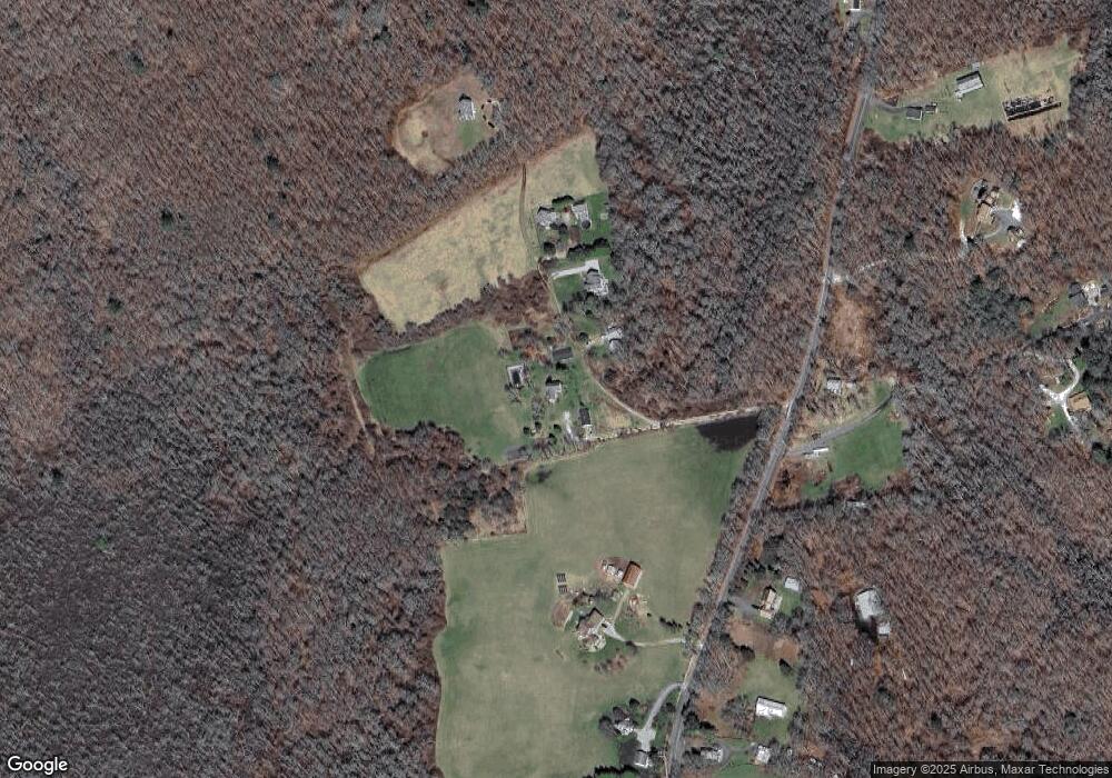
Map
Nearby Homes
- 99 Sylvia Ln
- 2 Slades Farm Ln
- Lot 2E Horseneck Rd
- Lot 2 Horseneck Rd
- 1150 Russells Mills Rd
- 1702 Drift Rd
- 1702J Drift Rd
- 225 Hixbridge Rd
- 73 White Oak Run
- 920 Drift Rd
- 61 Pardon Hill Rd
- Lot 1 Rafael Rd
- 1580 Main Rd
- 1881 Main Rd
- 1346 Main Rd Unit B
- 248 Bakerville Rd
- 24 White Alder Way
- 0 Reed Rd (Ss)
- 837 Main Road & Lot 2
- 837 Main Rd
- 521 Division Rd
- 513 Division Rd
- 505 Division Rd
- 575 Division Rd
- 530 Division Rd
- 497 Division Rd
- 357 Division Rd
- 359 Division Rd
- 593 Division Rd
- 550 Division Rd
- 582 Division Rd
- 589 Division Rd
- 00 Division Rd
- 504 Division Rd
- 473 Division Rd
- 599 Division Rd
- 490 Division Rd
- 594 Division Rd
- 536 Division Rd
- 520 Division Rd