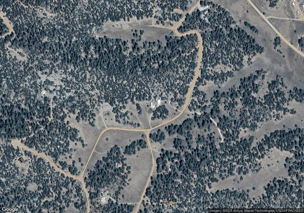
533 Keith Ln Cotopaxi, CO 81223
Estimated Value: $271,851 - $362,000
3
Beds
2
Baths
1,320
Sq Ft
$241/Sq Ft
Est. Value
About This Home
This home is located at 533 Keith Ln, Cotopaxi, CO 81223 and is currently estimated at $318,213, approximately $241 per square foot. 533 Keith Ln is a home located in Fremont County with nearby schools including Cotopaxi Elementary School and Cotopaxi Junior/Senior High School.
Ownership History
Date
Name
Owned For
Owner Type
Purchase Details
Closed on
Jun 27, 2011
Sold by
Smithee Mark D and Smithee Collette L
Bought by
Dmyterko George R and Dmyterko Mary F
Current Estimated Value
Purchase Details
Closed on
Jan 5, 2007
Sold by
Carlton Darla G
Bought by
Smithee Mark D and Smithee Colette L
Home Financials for this Owner
Home Financials are based on the most recent Mortgage that was taken out on this home.
Original Mortgage
$61,500
Interest Rate
6.2%
Mortgage Type
New Conventional
Create a Home Valuation Report for This Property
The Home Valuation Report is an in-depth analysis detailing your home's value as well as a comparison with similar homes in the area
Purchase History
| Date | Buyer | Sale Price | Title Company |
|---|---|---|---|
| Dmyterko George R | $101,000 | Fidelity National Title Ins | |
| Smithee Mark D | $82,000 | Stewart Title |
Source: Public Records
Mortgage History
| Date | Status | Borrower | Loan Amount |
|---|---|---|---|
| Previous Owner | Smithee Mark D | $61,500 |
Source: Public Records
Tax History Compared to Growth
Tax History
| Year | Tax Paid | Tax Assessment Tax Assessment Total Assessment is a certain percentage of the fair market value that is determined by local assessors to be the total taxable value of land and additions on the property. | Land | Improvement |
|---|---|---|---|---|
| 2024 | $462 | $16,262 | $0 | $0 |
| 2023 | $571 | $11,672 | $0 | $0 |
| 2022 | $489 | $10,406 | $0 | $0 |
| 2021 | $492 | $10,705 | $0 | $0 |
| 2020 | $408 | $9,044 | $0 | $0 |
| 2019 | $407 | $9,044 | $0 | $0 |
| 2018 | $359 | $7,980 | $0 | $0 |
| 2017 | $361 | $7,980 | $0 | $0 |
| 2016 | $347 | $7,690 | $0 | $0 |
| 2015 | $346 | $7,690 | $0 | $0 |
| 2012 | $243 | $5,847 | $1,592 | $4,255 |
Source: Public Records
Map
Nearby Homes
- 134 Knight Ln
- 129 Cedar Ln
- 1314 Arnold Dr
- 1314 Arnold Dr Unit 545
- 0 Tbd Iron Mountain Wilderness Rd Unit 4146154
- 70 Arthur Ln
- 176 Bel Air Way
- 176 Arnold Dr
- 860 Texas Creek Ln
- 253 Nels Dr
- 109 Cottonwood Dr
- 221 Cottonwood Dr
- 500 Cottonwood Dr
- 729 Cottonwood Dr
- 84 Coyote Run Rd
- 69 Coyote Run Rd
- 73 Alpine Way
- 3500 Indian Wells Rd
- 143 Ive Place Unit 338
- 3586 Indian Wells Rd
