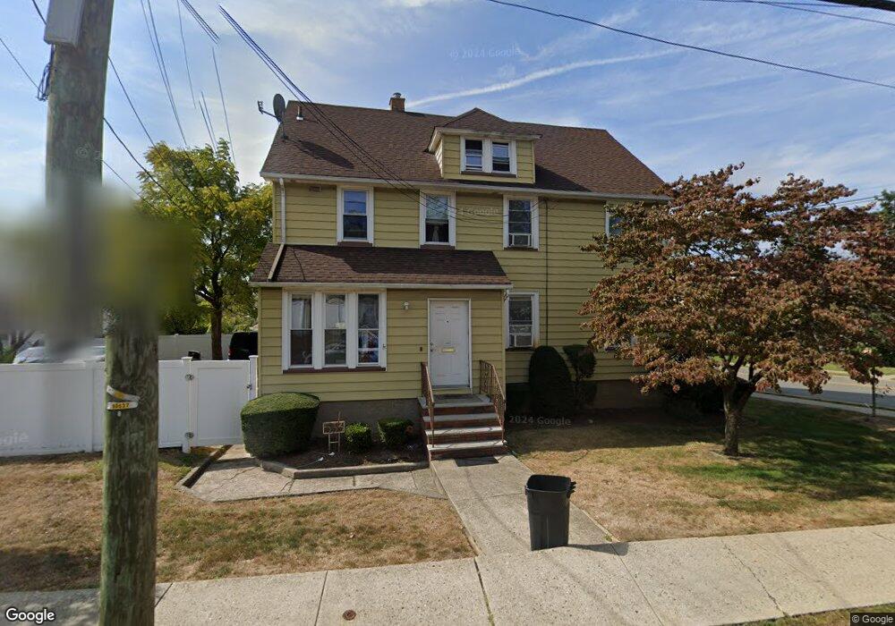
533 Moonachie Rd South Hackensack, NJ 07606
Estimated Value: $611,000 - $757,000
--
Bed
--
Bath
2,200
Sq Ft
$316/Sq Ft
Est. Value
About This Home
This home is located at 533 Moonachie Rd, South Hackensack, NJ 07606 and is currently estimated at $694,904, approximately $315 per square foot. 533 Moonachie Rd is a home located in Bergen County with nearby schools including Memorial Elementary School and George Washington School.
Ownership History
Date
Name
Owned For
Owner Type
Purchase Details
Closed on
Oct 27, 2015
Sold by
533 Moonachie Road Llc
Bought by
533 Sh Property Llc
Current Estimated Value
Purchase Details
Closed on
Jun 15, 2010
Sold by
Puser Robert L and Puser Linda P
Bought by
553 Moonahie Road Llc
Create a Home Valuation Report for This Property
The Home Valuation Report is an in-depth analysis detailing your home's value as well as a comparison with similar homes in the area
Home Values in the Area
Average Home Value in this Area
Purchase History
| Date | Buyer | Sale Price | Title Company |
|---|---|---|---|
| 533 Sh Property Llc | $330,000 | None Available | |
| 553 Moonahie Road Llc | $385,000 | -- |
Source: Public Records
Tax History Compared to Growth
Tax History
| Year | Tax Paid | Tax Assessment Tax Assessment Total Assessment is a certain percentage of the fair market value that is determined by local assessors to be the total taxable value of land and additions on the property. | Land | Improvement |
|---|---|---|---|---|
| 2025 | $11,501 | $638,900 | $228,000 | $410,900 |
| 2024 | $11,107 | $587,100 | $208,100 | $379,000 |
| 2023 | $10,613 | $521,200 | $192,400 | $328,800 |
| 2022 | $10,613 | $481,300 | $170,800 | $310,500 |
| 2021 | $10,444 | $414,100 | $152,800 | $261,300 |
| 2020 | $9,568 | $356,500 | $137,900 | $218,600 |
| 2019 | $9,194 | $336,400 | $136,100 | $200,300 |
| 2018 | $9,138 | $331,200 | $134,300 | $196,900 |
| 2017 | $9,006 | $324,200 | $130,700 | $193,500 |
| 2016 | $9,041 | $327,100 | $126,200 | $200,900 |
| 2015 | $8,559 | $320,800 | $122,600 | $198,200 |
| 2014 | $7,538 | $287,600 | $120,300 | $167,300 |
Source: Public Records
Map
Nearby Homes
- 541 Moonachie Rd
- 38 Moonachie Rd Unit 315
- 460 Liberty St Unit 460 B Unit 308
- 453 Liberty St Unit 14
- 462 Liberty St Unit 462A Unit 101
- 468a Liberty St Unit 101
- 1 Rossi Ct
- 418 Taylor Ave
- 12 Pulaski Place
- 12 Pulaski Place Unit A
- 85 Grove St
- 352 Chestnut Ave
- 80 Phillips Ave
- 9 Vreeland Ave Unit 3A
- 337 Hudson St
- 46 Grand St
- 23 Grand St
- 12 Brandt St
- 180 Main St
- 307 Washington Ave
- 99 Calicooneck Rd
- 99 Calicooneck Rd Unit 2nd fl
- 99 Calicooneck Rd Unit 2nd F
- 527 Moonachie Rd
- 102 Calicooneck Rd
- 95 Calicooneck Rd
- 521 Moonachie Rd
- 4 Jackson Ave
- 10 John St
- 517 Moonachie Rd
- 14 John St
- 12 Jackson Ave
- 90 Calicooneck Rd
- 18 John St
- 553 Moonachie Rd
- 16 Jackson Ave
- 513 Moonachie Rd
- 85 Calicooneck Rd
- 86 Calicooneck Rd
- 11 Jackson Ave