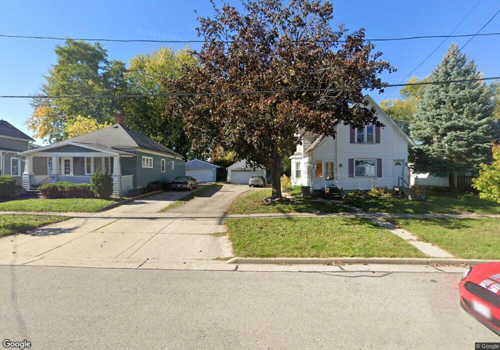
533 N State St Appleton, WI 54911
Historic Central Neighborhood NeighborhoodEstimated Value: $143,000 - $224,000
3
Beds
2
Baths
1,536
Sq Ft
$116/Sq Ft
Est. Value
About This Home
This home is located at 533 N State St, Appleton, WI 54911 and is currently estimated at $177,469, approximately $115 per square foot. 533 N State St is a home located in Outagamie County with nearby schools including Ronald C. Dunlap Elementary School, Wilson Middle School, and Appleton West High School.
Ownership History
Date
Name
Owned For
Owner Type
Purchase Details
Closed on
Sep 28, 2023
Sold by
Ristow Amy L
Bought by
Kuske Jamie J
Current Estimated Value
Home Financials for this Owner
Home Financials are based on the most recent Mortgage that was taken out on this home.
Original Mortgage
$81,600
Outstanding Balance
$80,401
Interest Rate
8.63%
Mortgage Type
New Conventional
Estimated Equity
$97,068
Purchase Details
Closed on
Nov 23, 2021
Sold by
Ristow Amy L
Bought by
Kuske Jamie J
Purchase Details
Closed on
Aug 14, 2020
Sold by
Brown Charles M
Bought by
Ristow Amy L
Create a Home Valuation Report for This Property
The Home Valuation Report is an in-depth analysis detailing your home's value as well as a comparison with similar homes in the area
Home Values in the Area
Average Home Value in this Area
Purchase History
| Date | Buyer | Sale Price | Title Company |
|---|---|---|---|
| Kuske Jamie J | -- | None Listed On Document | |
| Kuske Jamie J | $59,149 | -- | |
| Ristow Amy L | $55,000 | -- |
Source: Public Records
Mortgage History
| Date | Status | Borrower | Loan Amount |
|---|---|---|---|
| Open | Kuske Jamie J | $81,600 |
Source: Public Records
Tax History
| Year | Tax Paid | Tax Assessment Tax Assessment Total Assessment is a certain percentage of the fair market value that is determined by local assessors to be the total taxable value of land and additions on the property. | Land | Improvement |
|---|---|---|---|---|
| 2023 | $1,653 | $118,800 | $27,300 | $91,500 |
| 2022 | $1,497 | $71,200 | $22,100 | $49,100 |
| 2021 | $1,433 | $71,200 | $22,100 | $49,100 |
| 2020 | $1,404 | $71,200 | $22,100 | $49,100 |
| 2019 | $1,371 | $71,200 | $22,100 | $49,100 |
| 2018 | $1,312 | $60,000 | $18,100 | $41,900 |
| 2017 | $1,288 | $60,000 | $18,100 | $41,900 |
| 2016 | $1,269 | $60,000 | $18,100 | $41,900 |
| 2015 | $1,283 | $60,000 | $18,100 | $41,900 |
| 2014 | $1,274 | $60,000 | $18,100 | $41,900 |
| 2013 | $1,538 | $71,700 | $18,100 | $53,600 |
Source: Public Records
Map
Nearby Homes
- 731 W Elsie St
- 730 W Oklahoma St
- 501 W Winnebago St
- 400 N Richmond St Unit 328
- 400 N Richmond St Unit 417
- 823 W Oklahoma St
- 913 N Harriman St
- 923 W Elsie St
- 727 N Bennett St
- 1606 S Carver Ln
- 1019 W Oklahoma St
- 726 W Summer St
- 1223 N Harriman St
- 1314 N Harriman St
- 736 W 8th St
- 739 W 8th St
- 221 E Winnebago St
- 614 W 6th St
- 1525 N Clark St
- 914 W Brewster St
- 537 N State St
- 551 N State St
- 543 N State St
- 603 N State St
- 609 N State St
- 615 N State St
- 619 N State St
- 614 N State St
- 616 N State St
- 509 N State St
- 531 N State St
- 529 N State St
- 519 N State St
- 548 N State St
- 552 N State St
- 606 N State St
- 532 N State St
- 538 N State St
- 542 N State St
- 606 W Packard St
Your Personal Tour Guide
Ask me questions while you tour the home.