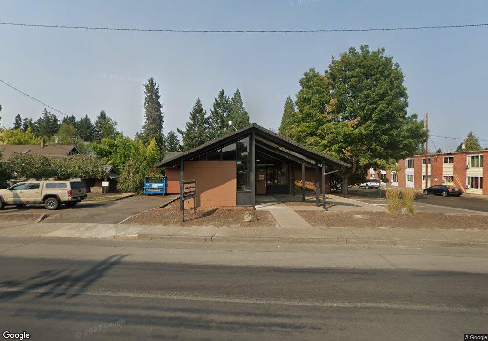
533 NE Adams St McMinnville, OR 97128
Estimated Value: $866,380
--
Bed
--
Bath
4,268
Sq Ft
$203/Sq Ft
Est. Value
About This Home
This home is located at 533 NE Adams St, McMinnville, OR 97128 and is currently estimated at $866,380, approximately $202 per square foot. 533 NE Adams St is a home located in Yamhill County with nearby schools including Memorial Elementary School, Patton Middle School, and McMinnville High School.
Ownership History
Date
Name
Owned For
Owner Type
Purchase Details
Closed on
Jan 13, 2014
Sold by
Symens Raymond and Symens Delores
Bought by
Ninety Degrees Llc
Current Estimated Value
Home Financials for this Owner
Home Financials are based on the most recent Mortgage that was taken out on this home.
Original Mortgage
$305,200
Outstanding Balance
$231,027
Interest Rate
4.46%
Mortgage Type
Commercial
Estimated Equity
$635,353
Purchase Details
Closed on
Jul 3, 2007
Sold by
Groff Russell
Bought by
Lawson Family Enterprises Llc
Home Financials for this Owner
Home Financials are based on the most recent Mortgage that was taken out on this home.
Original Mortgage
$428,000
Interest Rate
6.36%
Mortgage Type
Commercial
Create a Home Valuation Report for This Property
The Home Valuation Report is an in-depth analysis detailing your home's value as well as a comparison with similar homes in the area
Home Values in the Area
Average Home Value in this Area
Purchase History
| Date | Buyer | Sale Price | Title Company |
|---|---|---|---|
| Ninety Degrees Llc | $381,500 | Ticor Title Company | |
| Lawson Family Enterprises Llc | $349,900 | Ticor Title Insurance Co |
Source: Public Records
Mortgage History
| Date | Status | Borrower | Loan Amount |
|---|---|---|---|
| Open | Ninety Degrees Llc | $305,200 | |
| Previous Owner | Lawson Family Enterprises Llc | $428,000 |
Source: Public Records
Tax History Compared to Growth
Tax History
| Year | Tax Paid | Tax Assessment Tax Assessment Total Assessment is a certain percentage of the fair market value that is determined by local assessors to be the total taxable value of land and additions on the property. | Land | Improvement |
|---|---|---|---|---|
| 2024 | $5,940 | $341,727 | -- | -- |
| 2023 | $5,608 | $331,774 | $0 | $0 |
| 2022 | $5,312 | $322,111 | $0 | $0 |
| 2021 | $5,187 | $312,729 | $0 | $0 |
| 2020 | $5,145 | $303,620 | $0 | $0 |
| 2019 | $5,006 | $294,777 | $0 | $0 |
| 2018 | $4,907 | $286,191 | $0 | $0 |
| 2017 | $4,839 | $283,912 | $0 | $0 |
| 2016 | $4,666 | $275,643 | $0 | $0 |
| 2015 | $4,552 | $267,616 | $0 | $0 |
| 2014 | $4,307 | $259,823 | $0 | $0 |
Source: Public Records
Map
Nearby Homes
- 507 NE Davis St
- 126 NW 10th St
- 935 NW Birch St
- 206 NE 10th St
- 224 NW 11th St
- 809 NE Evans St
- 218 NW Ash St
- 323 SE Cowls St
- 1139 NW Yamhill St
- 240 SE Davis St
- 315 SE Davis St
- 630 SE 1st St
- 1026 NE Galloway St
- 1672 NW Landon St
- 1036 SW 2nd St
- 0 NE 10th and Irvine St NE Unit 344233412
- 1110 SW 2nd St
- 1020 NE 5th St
- 2894 NW Shadden Dr
- 1850 NW Landon St