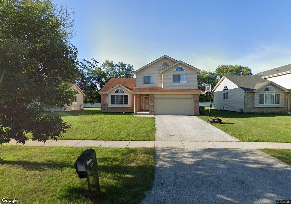
533 Regent Rd Unit 1 University Park, IL 60484
Estimated Value: $254,000 - $340,000
3
Beds
4
Baths
2,638
Sq Ft
$118/Sq Ft
Est. Value
About This Home
This home is located at 533 Regent Rd Unit 1, University Park, IL 60484 and is currently estimated at $310,664, approximately $117 per square foot. 533 Regent Rd Unit 1 is a home located in Will County with nearby schools including Balmoral Elementary School, Crete-Monee Middle School, and Crete-Monee High School.
Ownership History
Date
Name
Owned For
Owner Type
Purchase Details
Closed on
Sep 26, 2016
Sold by
Cain Kristile L and Mcdonald Kristile L
Bought by
Morgan Benetta and Morgan Perry
Current Estimated Value
Home Financials for this Owner
Home Financials are based on the most recent Mortgage that was taken out on this home.
Original Mortgage
$133,683
Outstanding Balance
$106,865
Interest Rate
3.37%
Mortgage Type
FHA
Estimated Equity
$203,799
Purchase Details
Closed on
Jun 28, 2006
Sold by
Chicago Title Land Trust Co
Bought by
Cain Edward and Cain Kristile
Home Financials for this Owner
Home Financials are based on the most recent Mortgage that was taken out on this home.
Original Mortgage
$246,492
Interest Rate
6.72%
Mortgage Type
FHA
Create a Home Valuation Report for This Property
The Home Valuation Report is an in-depth analysis detailing your home's value as well as a comparison with similar homes in the area
Home Values in the Area
Average Home Value in this Area
Purchase History
| Date | Buyer | Sale Price | Title Company |
|---|---|---|---|
| Morgan Benetta | $136,150 | Old Republic Title | |
| Cain Edward | $252,500 | Chicago Title Insurance Co |
Source: Public Records
Mortgage History
| Date | Status | Borrower | Loan Amount |
|---|---|---|---|
| Open | Morgan Benetta | $133,683 | |
| Previous Owner | Cain Edward | $246,492 |
Source: Public Records
Tax History Compared to Growth
Tax History
| Year | Tax Paid | Tax Assessment Tax Assessment Total Assessment is a certain percentage of the fair market value that is determined by local assessors to be the total taxable value of land and additions on the property. | Land | Improvement |
|---|---|---|---|---|
| 2024 | $10,066 | $88,197 | $14,480 | $73,717 |
| 2023 | $10,066 | $76,032 | $12,483 | $63,549 |
| 2022 | $8,581 | $66,883 | $10,981 | $55,902 |
| 2021 | $8,100 | $60,920 | $10,086 | $50,834 |
| 2020 | $7,821 | $57,745 | $9,759 | $47,986 |
| 2019 | $7,907 | $54,761 | $9,255 | $45,506 |
| 2018 | $8,021 | $54,477 | $9,069 | $45,408 |
| 2017 | $8,318 | $55,170 | $8,823 | $46,347 |
| 2016 | $8,222 | $54,519 | $8,500 | $46,019 |
| 2015 | $7,536 | $51,856 | $8,086 | $43,770 |
| 2014 | $7,536 | $51,140 | $7,974 | $43,166 |
| 2013 | $7,536 | $53,550 | $8,350 | $45,200 |
Source: Public Records
Map
Nearby Homes
- 524 Regent Rd
- 903 Blackhawk Dr
- 1001 Blackhawk Dr
- 815 Blackhawk Dr
- 607 Sullivan Ln
- 807 Blackhawk Dr
- 608 Sullivan Ln
- 735 Union Dr
- 740 Mission St
- 1043 Ashridge Ln
- 754 Mission Dr
- 1031 Blackhawk Dr
- 1109 Abbot Ln
- 1061 Amherst Ln
- 453 Fairway Ct
- 1116 Amherst Ln
- 505 Barbara Ct
- 469 Fairway Ln
- 708 Blackhawk Dr
- 24625 S Western Ave