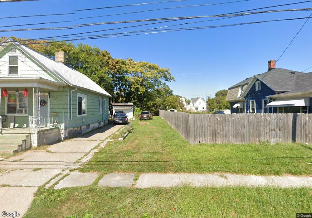
533 Taylor St Sandusky, OH 44870
Estimated Value: $52,000 - $127,000
2
Beds
1
Bath
1,030
Sq Ft
$88/Sq Ft
Est. Value
About This Home
This home is located at 533 Taylor St, Sandusky, OH 44870 and is currently estimated at $90,727, approximately $88 per square foot. 533 Taylor St is a home located in Erie County with nearby schools including Sandusky High School, Monroe Preparatory Academy, and Sandusky Central Catholic School.
Ownership History
Date
Name
Owned For
Owner Type
Purchase Details
Closed on
Nov 9, 2022
Sold by
City Of Sandusky Ohio
Bought by
Geiger Randy H
Current Estimated Value
Purchase Details
Closed on
May 24, 2021
Sold by
City Of Sandusky
Bought by
Larry And Snookie Seiler Llc
Purchase Details
Closed on
Jul 25, 2016
Sold by
Hunter Tim W
Bought by
City Of Sandusky
Purchase Details
Closed on
Feb 13, 1996
Sold by
Lindsley Kevin A
Bought by
Hunter Tim W and Hunter Amy
Home Financials for this Owner
Home Financials are based on the most recent Mortgage that was taken out on this home.
Original Mortgage
$17,625
Interest Rate
7.11%
Mortgage Type
New Conventional
Create a Home Valuation Report for This Property
The Home Valuation Report is an in-depth analysis detailing your home's value as well as a comparison with similar homes in the area
Home Values in the Area
Average Home Value in this Area
Purchase History
| Date | Buyer | Sale Price | Title Company |
|---|---|---|---|
| Geiger Randy H | $166 | None Listed On Document | |
| Larry And Snookie Seiler Llc | -- | None Available | |
| City Of Sandusky | -- | None Available | |
| Hunter Tim W | $23,500 | -- |
Source: Public Records
Mortgage History
| Date | Status | Borrower | Loan Amount |
|---|---|---|---|
| Previous Owner | Hunter Tim W | $17,625 |
Source: Public Records
Tax History
| Year | Tax Paid | Tax Assessment Tax Assessment Total Assessment is a certain percentage of the fair market value that is determined by local assessors to be the total taxable value of land and additions on the property. | Land | Improvement |
|---|---|---|---|---|
| 2024 | $49 | $1,263 | $1,263 | $0 |
| 2023 | $50 | $1,053 | $1,053 | $0 |
| 2022 | $0 | $1,053 | $1,053 | $0 |
| 2021 | $0 | $1,050 | $1,050 | $0 |
| 2020 | $0 | $2,150 | $2,150 | $0 |
| 2019 | $0 | $2,150 | $2,150 | $0 |
| 2018 | $0 | $2,150 | $2,150 | $0 |
| 2017 | $0 | $2,790 | $2,790 | $0 |
| 2016 | $0 | $11,870 | $2,790 | $9,080 |
| 2015 | $649 | $11,870 | $2,790 | $9,080 |
| 2014 | $790 | $15,270 | $2,790 | $12,480 |
| 2013 | $782 | $15,270 | $2,790 | $12,480 |
Source: Public Records
Map
Nearby Homes
- 310 W Osborne St
- 513 Rockwell St
- 1334 Lindsley St
- 1604 Central Ave
- 1315 Campbell St
- 306 Tyler St
- 1523 Central Ave
- 20 Tyler Way
- 18 Tyler Way
- 1618 Mcdonough St
- 1311 Columbus Ave
- 17 Tyler Way
- 1308 Vine St
- 1016 Hayes Ave
- 1035 Campbell St
- 1031 Columbus Ave
- 318 High St
- 823 Decatur St
- 2038 Columbus Ave
- 39 Zachary Dr S
Your Personal Tour Guide
Ask me questions while you tour the home.