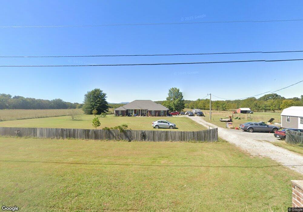
5330 Dayton Rd Mansfield, AR 72944
Estimated Value: $251,000 - $345,000
--
Bed
2
Baths
2,321
Sq Ft
$132/Sq Ft
Est. Value
About This Home
This home is located at 5330 Dayton Rd, Mansfield, AR 72944 and is currently estimated at $305,697, approximately $131 per square foot. 5330 Dayton Rd is a home located in Sebastian County with nearby schools including Mansfield Elementary School, Mansfield Middle School, and Mansfield High School.
Ownership History
Date
Name
Owned For
Owner Type
Purchase Details
Closed on
Jul 2, 2015
Sold by
Freeman Michael Edward and Freeman Bridget
Bought by
Puterbaugh Mark A
Current Estimated Value
Home Financials for this Owner
Home Financials are based on the most recent Mortgage that was taken out on this home.
Original Mortgage
$160,000
Outstanding Balance
$124,933
Interest Rate
3.9%
Mortgage Type
New Conventional
Estimated Equity
$180,764
Purchase Details
Closed on
Apr 2, 2015
Sold by
Parent Charles R and Parent Norma J
Bought by
Blair Joe and Blair Mary
Create a Home Valuation Report for This Property
The Home Valuation Report is an in-depth analysis detailing your home's value as well as a comparison with similar homes in the area
Home Values in the Area
Average Home Value in this Area
Purchase History
| Date | Buyer | Sale Price | Title Company |
|---|---|---|---|
| Puterbaugh Mark A | $200,000 | Three Rivers Title Svcs Inc | |
| Blair Joe | $107,500 | Waco Title Co Fort Smith |
Source: Public Records
Mortgage History
| Date | Status | Borrower | Loan Amount |
|---|---|---|---|
| Open | Puterbaugh Mark A | $160,000 |
Source: Public Records
Tax History Compared to Growth
Tax History
| Year | Tax Paid | Tax Assessment Tax Assessment Total Assessment is a certain percentage of the fair market value that is determined by local assessors to be the total taxable value of land and additions on the property. | Land | Improvement |
|---|---|---|---|---|
| 2024 | $1,992 | $41,070 | $3,690 | $37,380 |
| 2023 | $1,567 | $41,070 | $3,690 | $37,380 |
| 2022 | $1,599 | $41,070 | $3,690 | $37,380 |
| 2021 | $1,513 | $41,070 | $3,690 | $37,380 |
| 2020 | $1,427 | $41,070 | $3,690 | $37,380 |
| 2019 | $1,341 | $35,380 | $2,820 | $32,560 |
| 2018 | $1,366 | $35,380 | $2,820 | $32,560 |
| 2017 | $1,366 | $35,380 | $2,820 | $32,560 |
| 2016 | $1,366 | $0 | $0 | $0 |
| 2015 | $1,228 | $34,000 | $1,440 | $32,560 |
| 2014 | $1,153 | $30,975 | $1,445 | $29,530 |
Source: Public Records
Map
Nearby Homes
- 9796 Dayton Rd
- 29220 U S 71
- 1900 Bottom Fork Rd
- 001 Hwy 71 South U S Highway 71
- 2028 Marit St
- TBD U S Highway 71
- Tbd Broadway St
- 6501 Blackjack Mountain Rd
- 515 Bear Fry Loop
- 1000 E Center St
- 001 Broadway St
- 800 Broadway St
- 304 Stone St
- 411 S 7th Ave
- 324 Park Ave
- 513 Park Ave
- 510 Darlene Dr
- 503 E Broadway St
- 208 W Harper
- 101 N Main Ave
- 7442 Raymond Landtrip Rd
- 9501 Raymond Landtrip Rd
- 9404 Raymond Landtrip Rd
- 9515 Raymond Landtrip Rd
- 9628 Dayton Rd
- 9507 Dayton Rd
- 9304 Raymond Landtrip Rd
- 9667 Dayton Rd
- 9243 Raymond Landtrip Rd
- 9201 Dayton Rd
- 9204 Dayton Rd
- 30697 U S Highway 71
- 30697 Highway 71 N
- 9212 Raymond Landtrip Rd
- 30523 Highway 71 N
- 3706 Highway 71 E
- 9152 Raymond Landtrip Rd
- 3606 S Highway 71 E
- 10105 Abbott Loop
- 10106 Abbott Loop