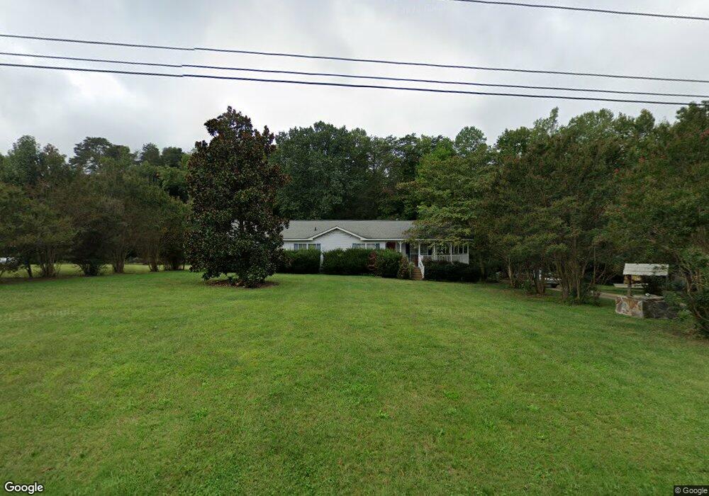
5330 Stigall Rd Kernersville, NC 27284
Northwest Kernersville NeighborhoodEstimated Value: $253,000 - $316,000
6
Beds
4
Baths
3,456
Sq Ft
$83/Sq Ft
Est. Value
About This Home
This home is located at 5330 Stigall Rd, Kernersville, NC 27284 and is currently estimated at $288,457, approximately $83 per square foot. 5330 Stigall Rd is a home located in Forsyth County with nearby schools including Piney Grove Elementary, Kernersville Middle, and East Forsyth High School.
Ownership History
Date
Name
Owned For
Owner Type
Purchase Details
Closed on
Mar 21, 2014
Sold by
Stewart Karen Elaine and Crawford Karen
Bought by
Crawford Karen
Current Estimated Value
Home Financials for this Owner
Home Financials are based on the most recent Mortgage that was taken out on this home.
Original Mortgage
$124,643
Interest Rate
3.25%
Mortgage Type
FHA
Create a Home Valuation Report for This Property
The Home Valuation Report is an in-depth analysis detailing your home's value as well as a comparison with similar homes in the area
Home Values in the Area
Average Home Value in this Area
Purchase History
| Date | Buyer | Sale Price | Title Company |
|---|---|---|---|
| Crawford Karen | -- | None Available |
Source: Public Records
Mortgage History
| Date | Status | Borrower | Loan Amount |
|---|---|---|---|
| Closed | Crawford Karen | $124,643 |
Source: Public Records
Tax History Compared to Growth
Tax History
| Year | Tax Paid | Tax Assessment Tax Assessment Total Assessment is a certain percentage of the fair market value that is determined by local assessors to be the total taxable value of land and additions on the property. | Land | Improvement |
|---|---|---|---|---|
| 2025 | $710 | $280,200 | $52,500 | $227,700 |
| 2024 | $710 | $172,300 | $32,000 | $140,300 |
| 2023 | $710 | $172,300 | $32,000 | $140,300 |
| 2022 | $710 | $172,300 | $32,000 | $140,300 |
| 2021 | $710 | $0 | $0 | $0 |
| 2020 | $679 | $151,700 | $26,500 | $125,200 |
| 2019 | $687 | $151,700 | $26,500 | $125,200 |
| 2018 | $661 | $151,700 | $26,500 | $125,200 |
| 2016 | $645 | $149,031 | $25,500 | $123,531 |
| 2015 | $645 | $149,031 | $25,500 | $123,531 |
| 2014 | $623 | $149,031 | $25,500 | $123,531 |
Source: Public Records
Map
Nearby Homes
- 1456 N Main St
- 2805 Bobby Ln
- 5090 Southern Pines Dr
- 1375 Ouray Dr
- 1392 Ouray Dr
- 9238 Glen Cross Dr
- 4608 Eden Bridge Dr
- 4262 Bridgehead Rd
- 1353 Ouray Dr
- 9 Warren Rd
- 1466 Gunnison Ct
- 1465 Gunnison Ct
- 9131 County Line Rd
- Holden 2 Plan at Trail Ridge
- Redbud Plan at Trail Ridge
- Bellwood Plan at Trail Ridge
- Southport Plan at Trail Ridge
- Hamilton Plan at Trail Ridge
- Jackson Plan at Trail Ridge
- 9127 County Line Rd
- 5328 Stigall Rd
- 5326 Stigall Rd
- 5337 Stigall Rd
- 5331 Stigall Rd
- 5339 Stigall Rd
- 5325 Stigall Rd
- 5354 Stigall Rd
- 5345 Stigall Rd
- 5349 Stigall Rd
- 5372 Stigall Rd
- 2425 Bethel Church Rd
- 1571 N Main St
- 1565 N Main St
- 1401 Oak Ridge Rd
- 1565 Oak Ridge Rd
- 5420 Autumn Harvest Dr
- 5410 Autumn Harvest Dr
- 5400 Autumn Harvest Dr
- 1402 Oak Ridge Rd
- 0 Harvest Ridge Dr