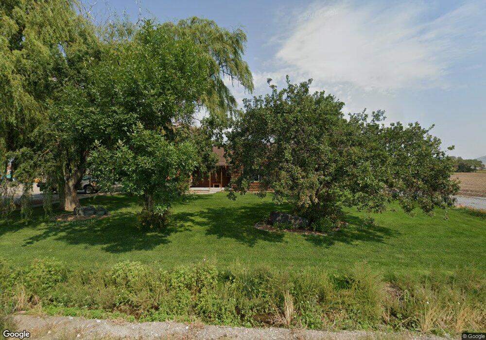
5330 W 10400 N Tremonton, UT 84337
Estimated Value: $478,000 - $794,345
--
Bed
--
Bath
1,448
Sq Ft
$421/Sq Ft
Est. Value
About This Home
This home is located at 5330 W 10400 N, Tremonton, UT 84337 and is currently estimated at $609,586, approximately $420 per square foot. 5330 W 10400 N is a home located in Box Elder County with nearby schools including McKinley School, Bear River Middle School, and Alice C. Harris Intermediate School.
Ownership History
Date
Name
Owned For
Owner Type
Purchase Details
Closed on
Mar 27, 2025
Sold by
Misrasi George
Bought by
Questar Gas Company
Current Estimated Value
Purchase Details
Closed on
Dec 28, 2016
Sold by
Misrasi George M and Misrasi Nicole
Bought by
Misrasi George
Home Financials for this Owner
Home Financials are based on the most recent Mortgage that was taken out on this home.
Original Mortgage
$160,000
Interest Rate
4.03%
Mortgage Type
New Conventional
Purchase Details
Closed on
Nov 17, 2004
Sold by
Shenenberger Sherry Misrasi
Bought by
Misrasi George M and Misrasi Nicole
Home Financials for this Owner
Home Financials are based on the most recent Mortgage that was taken out on this home.
Original Mortgage
$132,900
Interest Rate
5.67%
Mortgage Type
Purchase Money Mortgage
Create a Home Valuation Report for This Property
The Home Valuation Report is an in-depth analysis detailing your home's value as well as a comparison with similar homes in the area
Home Values in the Area
Average Home Value in this Area
Purchase History
| Date | Buyer | Sale Price | Title Company |
|---|---|---|---|
| Questar Gas Company | -- | Northern Title | |
| Misrasi George | -- | American Secure Title Tremon | |
| Misrasi George M | -- | None Available |
Source: Public Records
Mortgage History
| Date | Status | Borrower | Loan Amount |
|---|---|---|---|
| Previous Owner | Misrasi George | $160,000 | |
| Previous Owner | Misrasi George M | $132,900 |
Source: Public Records
Tax History Compared to Growth
Tax History
| Year | Tax Paid | Tax Assessment Tax Assessment Total Assessment is a certain percentage of the fair market value that is determined by local assessors to be the total taxable value of land and additions on the property. | Land | Improvement |
|---|---|---|---|---|
| 2025 | $2,536 | $439,470 | $140,030 | $299,440 |
| 2024 | $2,536 | $440,602 | $137,563 | $303,039 |
| 2023 | $1,688 | $352,174 | $144,006 | $208,168 |
| 2022 | $1,537 | $257,340 | $126,071 | $131,269 |
| 2021 | $1,367 | $197,881 | $57,521 | $140,360 |
| 2020 | $1,217 | $197,881 | $57,521 | $140,360 |
| 2019 | $1,189 | $73,915 | $8,961 | $64,954 |
| 2018 | $1,096 | $92,738 | $32,030 | $60,708 |
| 2017 | $1,142 | $265,478 | $32,572 | $104,978 |
| 2016 | $1,139 | $90,569 | $32,437 | $58,132 |
| 2015 | $1,069 | $85,404 | $32,557 | $52,847 |
| 2014 | $1,069 | $83,459 | $32,843 | $50,616 |
| 2013 | -- | $84,153 | $35,544 | $48,609 |
Source: Public Records
Map
Nearby Homes
- 1215 S 100 E
- 50 E 1225 S
- Harvest Village Plan at Harvest Village Townhome Community - Harvest Village
- 518 E 40 S
- 137 N 870 W Unit 28
- 795 S 150 W
- 9449 N Powerline Rd Unit 2
- 181 W 1300 S Unit 31
- 9480 N 5600 W
- 201 W 1300 S
- 234 N 870 W Unit 19
- 208 W 1300 S
- 25 W 400 S
- 200 W 1200 S Unit 72
- 200 W 1200 S Unit 152
- 200 W 1200 S Unit 153
- 200 W 1200 S Unit 151
- 200 W 1200 S Unit 156
- 200 W 1200 S Unit 52
- 200 W 1200 S Unit 61