5331 SE Burning Tree Cir Stuart, FL 34997
Estimated Value: $619,000 - $726,000
3
Beds
2
Baths
2,084
Sq Ft
$325/Sq Ft
Est. Value
About This Home
This home is located at 5331 SE Burning Tree Cir, Stuart, FL 34997 and is currently estimated at $676,587, approximately $324 per square foot. 5331 SE Burning Tree Cir is a home located in Martin County with nearby schools including Sea Wind Elementary School, Murray Middle School, and South Fork High School.
Ownership History
Date
Name
Owned For
Owner Type
Purchase Details
Closed on
Jun 18, 2002
Sold by
Cotter Timothy James and Cotter Maureen Elaine
Bought by
Westphal Ernest H and Westphal Virginia W
Current Estimated Value
Purchase Details
Closed on
Aug 24, 1998
Sold by
Michele R Bowman Tr
Bought by
Cotter Timothy J and Cotter Maureen E
Purchase Details
Closed on
Nov 20, 1995
Sold by
Bowman Michele R
Bought by
Bowman Tr Michele R
Purchase Details
Closed on
Nov 1, 1995
Sold by
Bowman Michele R
Bought by
Westphal Ernest H Jr and Westphal, Virginia W
Create a Home Valuation Report for This Property
The Home Valuation Report is an in-depth analysis detailing your home's value as well as a comparison with similar homes in the area
Home Values in the Area
Average Home Value in this Area
Purchase History
| Date | Buyer | Sale Price | Title Company |
|---|---|---|---|
| Westphal Ernest H | $245,000 | Universal Land Title Inc | |
| Cotter Timothy J | $195,000 | -- | |
| Bowman Tr Michele R | $100 | -- | |
| Westphal Ernest H Jr | -- | -- |
Source: Public Records
Tax History
| Year | Tax Paid | Tax Assessment Tax Assessment Total Assessment is a certain percentage of the fair market value that is determined by local assessors to be the total taxable value of land and additions on the property. | Land | Improvement |
|---|---|---|---|---|
| 2025 | $3,528 | $240,901 | -- | -- |
| 2024 | $3,443 | $234,112 | -- | -- |
| 2023 | $3,443 | $227,294 | $0 | $0 |
| 2022 | $3,387 | $220,674 | $0 | $0 |
| 2021 | $3,381 | $214,247 | $0 | $0 |
| 2020 | $3,282 | $211,289 | $0 | $0 |
| 2019 | $3,227 | $206,538 | $0 | $0 |
| 2018 | $3,145 | $202,687 | $0 | $0 |
| 2017 | $2,653 | $198,519 | $0 | $0 |
| 2016 | $2,923 | $194,435 | $0 | $0 |
| 2015 | $2,774 | $193,084 | $0 | $0 |
| 2014 | $2,774 | $191,551 | $0 | $0 |
Source: Public Records
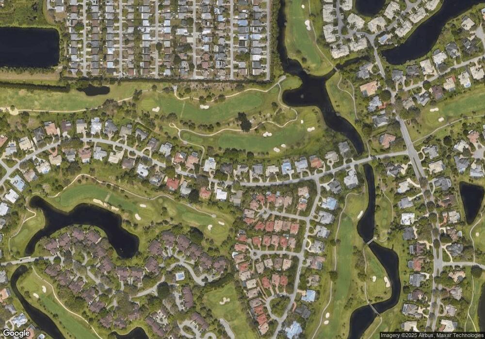
Map
Nearby Homes
- 5361 SE Merion Way
- 5402 SE Meredith Terrace
- 5311 SE Brandywine Way Unit 28
- 5382 SE Meredith Terrace
- 6433 SE Brandywine Ct Unit 219
- 5662 SE Foxcross Place Unit 5662
- 5661 SE Foxcross Place
- 5011 SE Brandywine Way
- 5071 SE Brandywine Way Unit 8
- 5220 SE Burning Tree Cir
- 6403 SE Brandywine Ct Unit 223
- 6404 SE Brandywine Ct Unit 104
- 5855 SE Mitzi Ln
- 5879 SE Wilsie Dr
- 5929 SE Collins Ave
- 5610 SE Winged Foot Dr
- 5650 SE Foxcross Place
- 5627 SE Foxcross Place
- 5201 SE Burning Tree Cir
- 5253 SE Club Way
- 5321 SE Burning Tree Cir
- 5341 SE Burning Tree Cir
- 5330 SE Burning Tree Cir
- 5311 SE Burning Tree Cir
- 5351 SE Burning Tree Cir
- 5371 SE Merion Way
- 5320 SE Burning Tree Cir
- 5310 SE Burning Tree Cir
- 5360 SE Merion Way
- 5361 SE Burning Tree Cir
- 5391 SE Merion Way
- 5370 SE Merion Way
- 5401 SE Merion Way
- 5300 SE Burning Tree Cir
- 5380 SE Merion Way
- 5371 SE Burning Tree Cir
- 5390 SE Merion Way
- 5291 SE Burning Tree Cir
- 5411 SE Merion Way
- 5373 SE Meredith Terrace