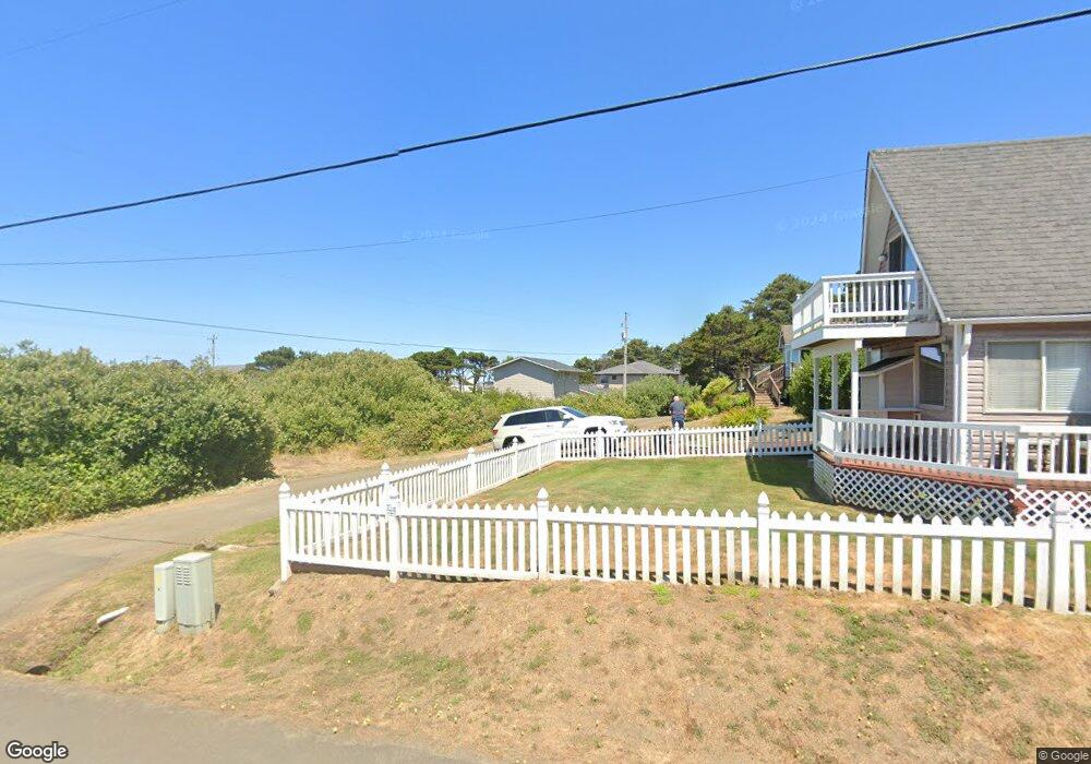
5331 SW Pacific Coast Hwy Waldport, OR 97394
Estimated Value: $457,000 - $746,182
4
Beds
4
Baths
1,280
Sq Ft
$493/Sq Ft
Est. Value
About This Home
This home is located at 5331 SW Pacific Coast Hwy, Waldport, OR 97394 and is currently estimated at $631,046, approximately $493 per square foot. 5331 SW Pacific Coast Hwy is a home located in Lincoln County with nearby schools including Crestview Heights School, Waldport High and Middle School, and Angell JCC.
Ownership History
Date
Name
Owned For
Owner Type
Purchase Details
Closed on
Mar 3, 2006
Sold by
Ishaque Sultan
Bought by
Eastburn David and Eastburn Cindy R
Current Estimated Value
Home Financials for this Owner
Home Financials are based on the most recent Mortgage that was taken out on this home.
Original Mortgage
$272,000
Interest Rate
6.04%
Mortgage Type
Seller Take Back
Create a Home Valuation Report for This Property
The Home Valuation Report is an in-depth analysis detailing your home's value as well as a comparison with similar homes in the area
Home Values in the Area
Average Home Value in this Area
Purchase History
| Date | Buyer | Sale Price | Title Company |
|---|---|---|---|
| Eastburn David | $340,000 | First American Title Ins Co |
Source: Public Records
Mortgage History
| Date | Status | Borrower | Loan Amount |
|---|---|---|---|
| Closed | Eastburn David | $272,000 |
Source: Public Records
Tax History Compared to Growth
Tax History
| Year | Tax Paid | Tax Assessment Tax Assessment Total Assessment is a certain percentage of the fair market value that is determined by local assessors to be the total taxable value of land and additions on the property. | Land | Improvement |
|---|---|---|---|---|
| 2024 | $2,816 | $201,280 | -- | -- |
| 2023 | $2,723 | $195,420 | $0 | $0 |
| 2022 | $2,453 | $189,730 | $0 | $0 |
| 2021 | $2,408 | $184,210 | $0 | $0 |
| 2020 | $2,366 | $178,850 | $0 | $0 |
| 2019 | $2,275 | $173,650 | $0 | $0 |
| 2018 | $2,242 | $168,600 | $0 | $0 |
| 2017 | $2,154 | $163,690 | $0 | $0 |
| 2016 | $1,993 | $158,930 | $0 | $0 |
| 2015 | $1,711 | $151,670 | $0 | $0 |
| 2014 | $1,745 | $154,310 | $0 | $0 |
| 2013 | -- | $153,230 | $0 | $0 |
Source: Public Records
Map
Nearby Homes
- 5272 SW Field Ave
- 5220 SW Neal Ave
- 5194 SW Field Ave
- 1208 SW Division St
- 809 SW Wakonda Beach Rd
- 4711 SW Pacific Coast Hwy
- 805 SW Wakeetum St
- TL1200 SW Pacific Coast Hwy
- 4605 SW Pacific Coast Hwy
- 4699 SW Eriksen Ave
- 0 SW Flansberg Ave
- 4470 SW Flansberg Ave
- 3877 SW Dahlia Ln
- 3692 SW Pacific Coast Hwy
- 3531 SW Fernwood Ln
- 128 SW Wakonda Beach Rd
- 7304 SW Pacific Coast Hwy
- 1115 SW Whitecap Dr
- 1155 SW Sailfish Loop
- 2220 SW Green Ln
- 5315 SW Neal Ave
- 5290 SW Neal Ave
- 1160 SW Wakonda Beach Rd
- 0 SW Neal Ave Unit 728298
- 0 SW Neal Ave Unit 728291
- 5350 SW Field Ave
- 5303 Hwy 101
- 5287 Field SW
- 5384 SW Field Ave
- 5308 SW Field Ave
- 5253 SW Pacific Coast Hwy
- 5426 SW Neal Ave
- 5421 SW Neal Ave
- 1400 SW Wakonda Beach Rd
- 1300 SW Wakonda Beach Rd
- 5362 SW Pacific Coast Hwy
- 5304 SW Pacific Coast Hwy
- 5318 SW Pacific Coast Hwy
- 5405 #21 NW Pacific Coast Hwy
- 5405 #24 NW Pacific Coast Hwy