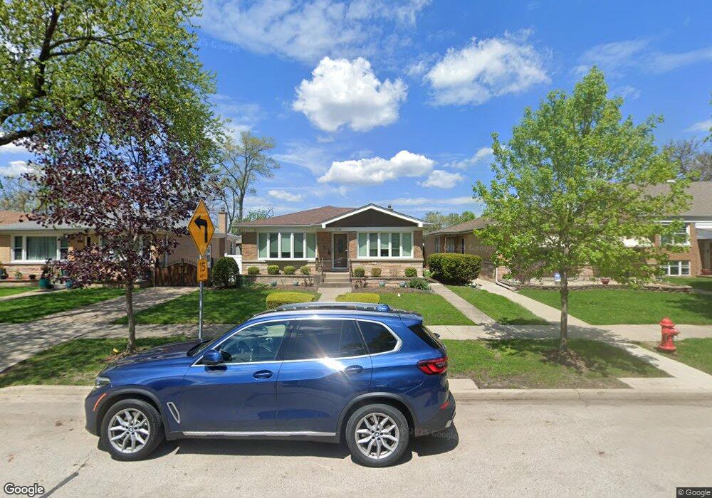
5332 Carol St Skokie, IL 60077
Southwest Skokie NeighborhoodEstimated Value: $416,000 - $441,007
3
Beds
2
Baths
1,426
Sq Ft
$302/Sq Ft
Est. Value
About This Home
This home is located at 5332 Carol St, Skokie, IL 60077 and is currently estimated at $430,002, approximately $301 per square foot. 5332 Carol St is a home located in Cook County with nearby schools including Madison Elementary School, Thomas Edison Elementary School, and Lincoln Junior High School.
Create a Home Valuation Report for This Property
The Home Valuation Report is an in-depth analysis detailing your home's value as well as a comparison with similar homes in the area
Home Values in the Area
Average Home Value in this Area
Tax History Compared to Growth
Tax History
| Year | Tax Paid | Tax Assessment Tax Assessment Total Assessment is a certain percentage of the fair market value that is determined by local assessors to be the total taxable value of land and additions on the property. | Land | Improvement |
|---|---|---|---|---|
| 2024 | $8,561 | $33,418 | $6,609 | $26,809 |
| 2023 | $9,307 | $33,418 | $6,609 | $26,809 |
| 2022 | $9,307 | $36,014 | $6,609 | $29,405 |
| 2021 | $7,369 | $26,341 | $4,067 | $22,274 |
| 2020 | $7,464 | $26,341 | $4,067 | $22,274 |
| 2019 | $7,530 | $29,597 | $4,067 | $25,530 |
| 2018 | $6,702 | $24,904 | $3,685 | $21,219 |
| 2017 | $6,771 | $24,904 | $3,685 | $21,219 |
| 2016 | $6,988 | $24,904 | $3,685 | $21,219 |
| 2015 | $6,367 | $22,328 | $3,177 | $19,151 |
| 2014 | $6,257 | $22,328 | $3,177 | $19,151 |
| 2013 | $6,304 | $22,328 | $3,177 | $19,151 |
Source: Public Records
Map
Nearby Homes
- 5309 Crain St
- 8655 Harms Rd
- 8717 Gross Point Rd
- 5352 Greenwood St
- 5317 Suffield Ct
- 5247 Suffield Ct
- 8605 Laramie Ave
- 8541 Lotus Ave Unit 914
- 8708 Central Ave
- 5536 Greenwood St
- 8461 Gross Point Rd
- 5109 Greenleaf St
- 5346 Suffield Terrace
- 5032 Crain St
- 5510 Lincoln Ave Unit B301
- 5510 Lincoln Ave Unit B101
- 5506 Lincoln Ave Unit A117
- 5506 Lincoln Ave Unit A211
- 5506 Lincoln Ave Unit A216
- 5500 Lincoln Ave