5332 Langston Rd Norcross, GA 30071
Estimated Value: $293,000 - $320,000
3
Beds
3
Baths
1,512
Sq Ft
$200/Sq Ft
Est. Value
About This Home
This home is located at 5332 Langston Rd, Norcross, GA 30071 and is currently estimated at $303,081, approximately $200 per square foot. 5332 Langston Rd is a home located in Gwinnett County with nearby schools including Beaver Ridge Elementary School, Summerour Middle School, and Norcross High School.
Ownership History
Date
Name
Owned For
Owner Type
Purchase Details
Closed on
Oct 28, 2005
Sold by
Sterling Brook Builders Llc
Bought by
Case Bobbie Y
Current Estimated Value
Home Financials for this Owner
Home Financials are based on the most recent Mortgage that was taken out on this home.
Original Mortgage
$29,600
Interest Rate
5.34%
Mortgage Type
New Conventional
Create a Home Valuation Report for This Property
The Home Valuation Report is an in-depth analysis detailing your home's value as well as a comparison with similar homes in the area
Home Values in the Area
Average Home Value in this Area
Purchase History
| Date | Buyer | Sale Price | Title Company |
|---|---|---|---|
| Case Bobbie Y | $148,000 | -- |
Source: Public Records
Mortgage History
| Date | Status | Borrower | Loan Amount |
|---|---|---|---|
| Closed | Case Bobbie Y | $29,600 | |
| Open | Case Bobbie Y | $118,400 |
Source: Public Records
Tax History
| Year | Tax Paid | Tax Assessment Tax Assessment Total Assessment is a certain percentage of the fair market value that is determined by local assessors to be the total taxable value of land and additions on the property. | Land | Improvement |
|---|---|---|---|---|
| 2025 | $3,779 | $119,600 | $28,080 | $91,520 |
| 2024 | $3,766 | $117,680 | $20,000 | $97,680 |
| 2023 | $3,766 | $117,680 | $20,000 | $97,680 |
| 2022 | $3,047 | $94,920 | $20,000 | $74,920 |
| 2021 | $2,570 | $78,360 | $16,000 | $62,360 |
| 2020 | $2,448 | $74,080 | $11,200 | $62,880 |
| 2019 | $2,723 | $67,960 | $10,800 | $57,160 |
| 2018 | $2,042 | $61,680 | $9,600 | $52,080 |
| 2016 | $1,565 | $47,320 | $8,000 | $39,320 |
| 2015 | $1,702 | $42,840 | $8,000 | $34,840 |
| 2014 | -- | $34,880 | $8,000 | $26,880 |
Source: Public Records
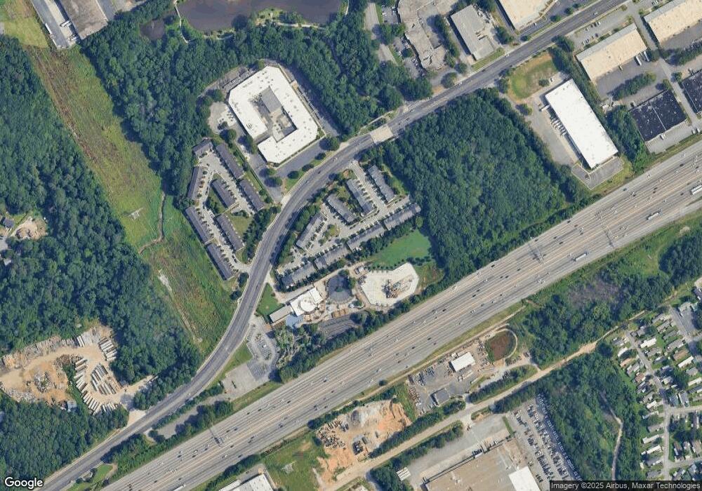
Map
Nearby Homes
- 1970 Ferentz Trace
- 2260 Ferentz Trace
- 1999 Hoot Owl Trail
- 101 Vineyard Pond Dr NW
- 5381 Station Cir Unit 3
- 105 Vineyard Pond Dr NW
- 5367 Rails Way
- 2066 Pinnacle Pointe Dr
- 1534 Cove Creek Cir
- 1620 Cove Creek Cir Unit 304
- 2123 Huddersfield Way
- 5634 Crest Trace Ct
- 5295 Lyme Bay Cir
- 2199 Summertown Dr
- 4242 Morrison Lake Trail
- 2189 Wesley Ct
- 1455 Silver Lake Dr
- 2325 E Hill Way NW
- 5640 Western Hills Dr
- 1413 Silver Lake Dr
- 5330 Langston Rd
- 5336 Langston Rd
- 5328 Langston Rd
- 5338 Langston Rd
- 5338 Langston Rd Unit 5338
- 5326 Langston Rd
- 5340 Langston Rd
- 5340 Langston Rd Unit 5340
- 5324 Langston Rd
- 5342 Langston Rd
- 5322 Langston Rd
- 5344 Langston Rd
- 5344 Langston R
- 85 Huron Way
- 85 Huron Way Unit 85
- 5320 Langston Rd
- 5320 Langston Rd Unit 5320
- 5346 Langston Rd
- 87 Huron Way
Your Personal Tour Guide
Ask me questions while you tour the home.