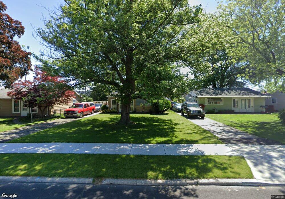
5332 Spicer Rd Toledo, OH 43612
North Towne NeighborhoodEstimated Value: $110,000 - $127,000
3
Beds
1
Bath
957
Sq Ft
$124/Sq Ft
Est. Value
About This Home
This home is located at 5332 Spicer Rd, Toledo, OH 43612 and is currently estimated at $118,535, approximately $123 per square foot. 5332 Spicer Rd is a home located in Lucas County with nearby schools including Greenwood Elementary School, Washington Junior High School, and Jefferson Junior High School.
Ownership History
Date
Name
Owned For
Owner Type
Purchase Details
Closed on
Aug 29, 2002
Sold by
Geis George K and Geis Karen
Bought by
Geis George K and Geis Karen
Current Estimated Value
Home Financials for this Owner
Home Financials are based on the most recent Mortgage that was taken out on this home.
Original Mortgage
$80,750
Interest Rate
6.41%
Purchase Details
Closed on
Oct 17, 1989
Sold by
Nicholas Michael T
Purchase Details
Closed on
Sep 20, 1989
Sold by
Tumasian Donna
Purchase Details
Closed on
Dec 18, 1987
Sold by
Schoenhofer James W Et Al*
Create a Home Valuation Report for This Property
The Home Valuation Report is an in-depth analysis detailing your home's value as well as a comparison with similar homes in the area
Home Values in the Area
Average Home Value in this Area
Purchase History
| Date | Buyer | Sale Price | Title Company |
|---|---|---|---|
| Geis George K | -- | -- | |
| -- | -- | -- | |
| -- | $32,000 | -- | |
| -- | -- | -- |
Source: Public Records
Mortgage History
| Date | Status | Borrower | Loan Amount |
|---|---|---|---|
| Closed | Geis George K | $80,750 |
Source: Public Records
Tax History Compared to Growth
Tax History
| Year | Tax Paid | Tax Assessment Tax Assessment Total Assessment is a certain percentage of the fair market value that is determined by local assessors to be the total taxable value of land and additions on the property. | Land | Improvement |
|---|---|---|---|---|
| 2024 | $815 | $25,865 | $7,140 | $18,725 |
| 2023 | $1,390 | $20,895 | $5,810 | $15,085 |
| 2022 | $1,391 | $20,895 | $5,810 | $15,085 |
| 2021 | $1,418 | $20,895 | $5,810 | $15,085 |
| 2020 | $1,363 | $17,500 | $4,830 | $12,670 |
| 2019 | $1,321 | $17,500 | $4,830 | $12,670 |
| 2018 | $1,427 | $17,500 | $4,830 | $12,670 |
| 2017 | $1,533 | $19,565 | $4,550 | $15,015 |
| 2016 | $1,536 | $55,900 | $13,000 | $42,900 |
| 2015 | $1,524 | $55,900 | $13,000 | $42,900 |
| 2014 | $1,231 | $19,570 | $4,550 | $15,020 |
| 2013 | $1,231 | $19,570 | $4,550 | $15,020 |
Source: Public Records
Map
Nearby Homes
- 414 Boxhall Rd
- 331 Southdale Rd
- 431 Northdale Dr
- 223 Northdale Dr
- 420 Northdale Dr
- 5542 Ashdale Ct
- 5559 Sunnyside Dr
- 702 Mayfair Blvd
- 741 Cloverdale Rd
- 303 W Crawford Ave
- 5534 San Paulo Dr
- 5454 San Pedro Dr
- 451 W Crawford Ave
- 918 Mayfair Blvd
- 314 W Poinsetta Ave
- 606 W Capistrano Ave
- 238 E Northgate Pkwy
- 302 Warrington Rd
- 423 W Poinsetta Ave
- 5434 Lewis Ave
- 5336 Spicer Rd
- 5326 Spicer Rd
- 5342 Spicer Rd
- 5322 Spicer Rd
- 5316 Spicer Rd
- 5346 Spicer Rd
- 402 Branbury Rd
- 401 Branbury Rd
- 5352 Spicer Rd
- 5312 Spicer Rd
- 408 Branbury Rd
- 407 Branbury Rd
- 420 Branbury Rd
- 414 Branbury Rd
- 5308 Spicer Rd
- 5356 Spicer Rd
- 415 Branbury Rd
- 401 W Northgate Pkwy
- 402 Boxhall Rd
- 407 W Northgate Pkwy