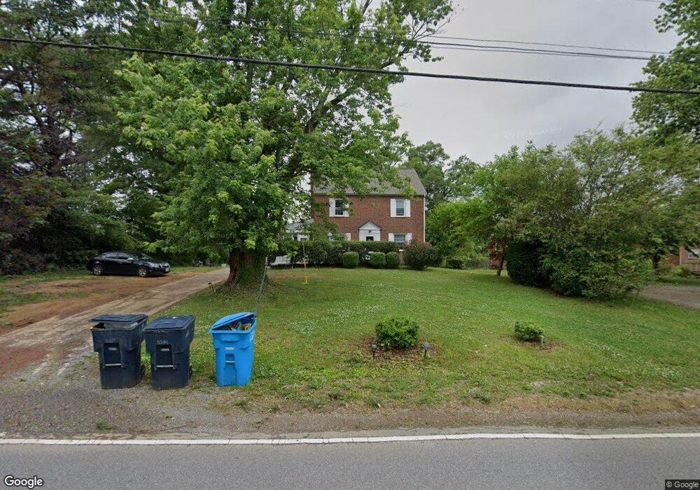
5334 Airport Rd NW Roanoke, VA 24012
Estimated Value: $252,000 - $351,000
3
Beds
2
Baths
2,190
Sq Ft
$129/Sq Ft
Est. Value
About This Home
This home is located at 5334 Airport Rd NW, Roanoke, VA 24012 and is currently estimated at $283,379, approximately $129 per square foot. 5334 Airport Rd NW is a home located in Roanoke City with nearby schools including Round Hill Elementary School, Breckinridge Middle School, and William Fleming High School.
Ownership History
Date
Name
Owned For
Owner Type
Purchase Details
Closed on
Apr 29, 2010
Sold by
Neuoff William H
Bought by
First Investment Llc
Current Estimated Value
Purchase Details
Closed on
Dec 15, 2005
Sold by
A & M Enterprises Lp
Bought by
Neuhoff Wiliam H
Home Financials for this Owner
Home Financials are based on the most recent Mortgage that was taken out on this home.
Original Mortgage
$50,000
Interest Rate
6.33%
Mortgage Type
New Conventional
Create a Home Valuation Report for This Property
The Home Valuation Report is an in-depth analysis detailing your home's value as well as a comparison with similar homes in the area
Home Values in the Area
Average Home Value in this Area
Purchase History
| Date | Buyer | Sale Price | Title Company |
|---|---|---|---|
| First Investment Llc | $210,000 | Lawyers Title Insurance Corp | |
| Neuhoff Wiliam H | -- | None Available |
Source: Public Records
Mortgage History
| Date | Status | Borrower | Loan Amount |
|---|---|---|---|
| Previous Owner | Neuhoff Wiliam H | $50,000 |
Source: Public Records
Tax History Compared to Growth
Tax History
| Year | Tax Paid | Tax Assessment Tax Assessment Total Assessment is a certain percentage of the fair market value that is determined by local assessors to be the total taxable value of land and additions on the property. | Land | Improvement |
|---|---|---|---|---|
| 2025 | $2,378 | $176,000 | $85,100 | $90,900 |
| 2024 | $2,378 | $157,000 | $77,300 | $79,700 |
| 2023 | $2,138 | $146,200 | $70,300 | $75,900 |
| 2022 | $1,897 | $139,300 | $70,300 | $69,000 |
| 2021 | $1,744 | $127,800 | $70,300 | $57,500 |
| 2020 | $1,731 | $127,800 | $70,300 | $57,500 |
| 2019 | $1,689 | $124,400 | $70,300 | $54,100 |
| 2018 | $1,630 | $119,500 | $70,300 | $49,200 |
| 2017 | $1,534 | $119,500 | $32,500 | $87,000 |
| 2016 | $1,534 | $119,500 | $32,500 | $87,000 |
| 2015 | $1,422 | $119,500 | $32,500 | $87,000 |
| 2014 | $1,422 | $119,500 | $32,500 | $87,000 |
Source: Public Records
Map
Nearby Homes
- 5333 Thornrose Rd
- 1017 Curtis Ave NW
- 5755 Santa Anita Terrace
- 5608 Malvern Rd
- 4935 Hubert Rd NW
- 5001 Hildebrand Rd NW
- 717 Hershberger Rd NW
- 4916 Hildebrand Rd NW
- 2628 Durham St NW
- 4708 Pawling St NW
- 4935 Fralin Rd NW
- 1048 Grove Ln
- 3038 Maplelawn Ave NW
- 2637 Cornell Dr NW
- 3332 Maplelawn Ave NW
- 2508 Churchill Dr NW
- 2438 Churchill Dr NW
- 3219 Yardley Dr NW
- 4306 Williamson Rd NW
- 5433 Palm Valley Rd
- 5402 Airport Rd NW
- 5330 Airport Rd NW
- 5404 Airport Rd NW
- 5408 Airport Rd NW
- 5416 Airport Rd NW
- 5315 Airport Rd
- 5315 Airport Rd
- 5335 Airport Rd
- 5415 Airport Rd
- 5330 Hearthstone Rd
- 5309 Airport Rd
- 5324 Hearthstone Rd
- 5318 Hearthstone Rd
- 5305 Airport Rd
- 5316 Hearthstone Rd
- 5339 Hearthstone Rd
- 5303 Airport Rd
- 5310 Hearthstone Rd
- 5331 Hearthstone Rd
- 5234 Airport Rd NW