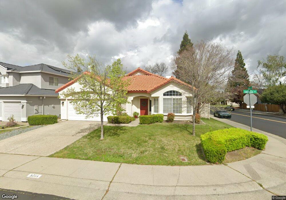
5334 Swindon Rd Rocklin, CA 95765
Stanford Ranch NeighborhoodEstimated Value: $623,055 - $653,000
About This Home
This home is located at 5334 Swindon Rd, Rocklin, CA 95765 and is currently estimated at $638,764, approximately $332 per square foot. 5334 Swindon Rd is a home located in Placer County with nearby schools including Breen Elementary, Granite Oaks Middle, and Rocklin High.
Ownership History
We collect this data history from publicly available records. To have your information removed, we recommend requesting removal directly through your county’s website.
Purchase Details
Home Financials for this Owner
Home Financials are based on the most recent Mortgage that was taken out on this home.Purchase Details
Home Financials for this Owner
Home Financials are based on the most recent Mortgage that was taken out on this home.Home Values in the Area
Average Home Value in this Area
Purchase History
We collect this data history from publicly available records. To have your information removed, we recommend requesting removal directly through your county’s website.
| Date | Buyer | Sale Price | Title Company |
|---|---|---|---|
| $349,000 | Financial Title Company | ||
| $170,000 | Placer Title Company |
Mortgage History
We collect this data history from publicly available records. To have your information removed, we recommend requesting removal directly through your county’s website.
| Date | Status | Borrower | Loan Amount |
|---|---|---|---|
| Closed | $249,000 | ||
| Previous Owner | $129,950 |
Tax History
We collect this data history from publicly available records. To have your information removed, we recommend requesting removal directly through your county’s website.
| Year | Tax Paid | Tax Assessment Tax Assessment Total Assessment is a certain percentage of the fair market value that is determined by local assessors to be the total taxable value of land and additions on the property. | Land | Improvement |
|---|---|---|---|---|
| 2025 | $5,052 | $458,401 | $105,072 | $353,329 |
| 2023 | $5,052 | $440,602 | $100,993 | $339,609 |
| 2022 | $4,890 | $431,963 | $99,013 | $332,950 |
| 2021 | $4,838 | $423,494 | $97,072 | $326,422 |
| 2020 | $4,831 | $419,152 | $96,077 | $323,075 |
| 2019 | $4,765 | $410,935 | $94,194 | $316,741 |
| 2018 | $4,644 | $402,879 | $92,348 | $310,531 |
| 2017 | $4,648 | $394,981 | $90,538 | $304,443 |
| 2016 | $4,518 | $387,237 | $88,763 | $298,474 |
| 2015 | $5,352 | $381,421 | $87,430 | $293,991 |
| 2014 | $5,428 | $353,000 | $80,900 | $272,100 |
Map
- 5230 Bay St
- 5331 Wesley Rd
- 2835 Augusta Ct
- 5120 De la Rosa Dr
- 5312 Delta Dr
- 2701 Catalina Dr
- 5112 Stratton Ct
- 5503 Darby Rd
- 4961 Charter Rd Unit 3
- 2100 Wyckford Blvd
- 2085 Archer Cir
- 4540 Shenandoah Rd
- 4446 Pebble Beach Rd
- 3139 Golden Trail St
- 2836 Hillcrest Rd
- 3147 Golden Trail St
- 5536 Tripp Way
- 3156 Golden Trail St
- 4436 Pebble Beach Rd
- 949 Marvin Gardens Way Unit 25
- 5319 Quane Ct Unit 6008
- 5319 Quane Ct
- 5317 Quane Ct
- 5326 Swindon Rd
- 5401 Quane Rd
- 5324 Swindon Rd
- 5315 Quane Ct
- 5318 Quane Ct
- 5322 Swindon Rd
- 5316 Quane Ct
- 5403 Quane Rd
- 5313 Quane Ct
- 5402 Quane Rd
- 5320 Swindon Rd
- 5336 Swindon Rd
- 5314 Quane Ct
- 5405 Quane Rd
- 5404 Quane Rd
- 5311 Quane Ct
- 5318 Swindon Rd
Ask me questions while you tour the home.