5334 W 560 N Farr West, UT 84404
Estimated Value: $1,100,000 - $1,714,000
5
Beds
5
Baths
5,603
Sq Ft
$273/Sq Ft
Est. Value
About This Home
This home is located at 5334 W 560 N, Farr West, UT 84404 and is currently estimated at $1,530,971, approximately $273 per square foot. 5334 W 560 N is a home located in Weber County with nearby schools including West Weber School, Wahlquist Junior High School, and Fremont High School.
Ownership History
Date
Name
Owned For
Owner Type
Purchase Details
Closed on
Aug 24, 2022
Sold by
Yearsley Bryce
Bought by
Toole Douglas and Toole Amber
Current Estimated Value
Home Financials for this Owner
Home Financials are based on the most recent Mortgage that was taken out on this home.
Original Mortgage
$1,194,200
Outstanding Balance
$1,146,013
Interest Rate
6%
Mortgage Type
New Conventional
Estimated Equity
$384,958
Purchase Details
Closed on
Aug 13, 2020
Sold by
Peter B Development Llc
Bought by
Yearsley Bryce and Yearsley Paige
Create a Home Valuation Report for This Property
The Home Valuation Report is an in-depth analysis detailing your home's value as well as a comparison with similar homes in the area
Home Values in the Area
Average Home Value in this Area
Purchase History
| Date | Buyer | Sale Price | Title Company |
|---|---|---|---|
| Toole Douglas | -- | Lincoln Title | |
| Yearsley Bryce | -- | Mountain View Title Ogden |
Source: Public Records
Mortgage History
| Date | Status | Borrower | Loan Amount |
|---|---|---|---|
| Open | Toole Douglas | $1,194,200 |
Source: Public Records
Tax History Compared to Growth
Tax History
| Year | Tax Paid | Tax Assessment Tax Assessment Total Assessment is a certain percentage of the fair market value that is determined by local assessors to be the total taxable value of land and additions on the property. | Land | Improvement |
|---|---|---|---|---|
| 2025 | $6,736 | $1,240,224 | $247,003 | $993,221 |
| 2024 | $6,479 | $1,215,999 | $247,003 | $968,996 |
| 2023 | $6,350 | $1,176,000 | $236,659 | $939,341 |
| 2022 | $1,744 | $181,252 | $181,252 | $0 |
| 2021 | $1,103 | $106,270 | $106,270 | $0 |
| 2020 | $0 | $0 | $0 | $0 |
Source: Public Records
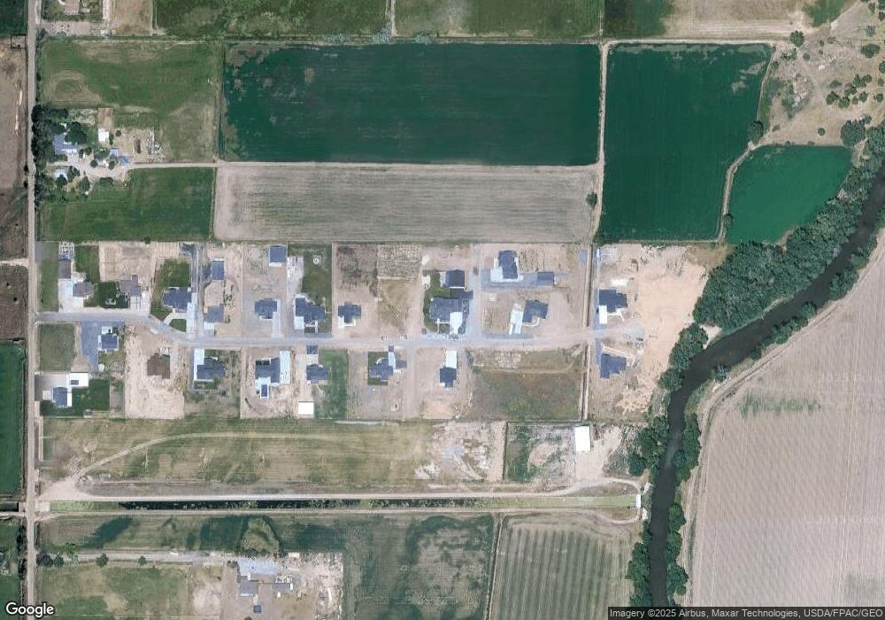
Map
Nearby Homes
- 1221 N 4975 W
- 1239 N 4925 W
- 155 S 4700 W
- 4585 W 1500 N
- 382 S 4350 W
- 712 S 6150 W
- 4370 W 1500 N
- 4494 W 1600 N
- 4700 W 1150 St S
- 4227 W Pioneer Rd
- 1885 N 4475 W
- 1853 N 4425 West St
- 3862 W 400 S
- 1980 N 4650 W
- 1748 N 4100 St W
- 2131 N 4650 W
- 4210 W 1975 N
- 4218 W 1600 St S Unit 306
- 4183 W 1575 S Unit 116
- 4171 W 1575 S
- 5334 W 560 N Unit 15
- 5331 W 560 N Unit 20
- 5354 W 560 N Unit 14
- 5307 W 560 N Unit 19
- 5365 W 560 N Unit 21
- 596 N 5325 S Unit 17
- 511 N 5350 W
- 512 N 5350 W Unit 3
- 5283 W 560 N Unit 18
- 5391 W 560 N
- 5396 W 560 N Unit 8
- 5258 W 560 N
- 5255 W 560 N
- 5418 W 560 N Unit 7
- 5415 W 560 N Unit 10
- 5438 W 560 N
- 5441 W 560 N Unit 11
- 5448 W 560 N
- 5467 W 560 N Unit 12
- 5460 W 560 N Unit 2