Estimated Value: $755,000 - $1,461,000
5
Beds
3
Baths
2,623
Sq Ft
$397/Sq Ft
Est. Value
About This Home
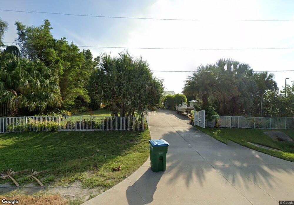
This home is located at 5335 S Us Highway 1, Grant, FL 32949 and is currently estimated at $1,040,374, approximately $396 per square foot. 5335 S Us Highway 1 is a home with nearby schools including Sunrise Elementary School, Stone Magnet Middle School, and Bayside High School.
Ownership History
Date
Name
Owned For
Owner Type
Purchase Details
Closed on
Jan 15, 2003
Sold by
Unger Pat B and Unger Barbara H
Bought by
Knopf George S and Knopf Jeannette A
Current Estimated Value
Home Financials for this Owner
Home Financials are based on the most recent Mortgage that was taken out on this home.
Original Mortgage
$262,500
Interest Rate
3.3%
Mortgage Type
Purchase Money Mortgage
Purchase Details
Closed on
Oct 19, 2000
Sold by
Unger Pat B and Unger Barbara H
Bought by
Unger Bryan S and Unger Catherine
Create a Home Valuation Report for This Property
The Home Valuation Report is an in-depth analysis detailing your home's value as well as a comparison with similar homes in the area
Home Values in the Area
Average Home Value in this Area
Purchase History
| Date | Buyer | Sale Price | Title Company |
|---|---|---|---|
| Knopf George S | $350,000 | -- | |
| Unger Bryan S | -- | -- |
Source: Public Records
Mortgage History
| Date | Status | Borrower | Loan Amount |
|---|---|---|---|
| Previous Owner | Knopf George S | $262,500 |
Source: Public Records
Tax History Compared to Growth
Tax History
| Year | Tax Paid | Tax Assessment Tax Assessment Total Assessment is a certain percentage of the fair market value that is determined by local assessors to be the total taxable value of land and additions on the property. | Land | Improvement |
|---|---|---|---|---|
| 2025 | $5,954 | $442,050 | -- | -- |
| 2024 | $5,805 | $429,600 | -- | -- |
| 2023 | $5,805 | $417,090 | $0 | $0 |
| 2022 | $5,388 | $404,950 | $0 | $0 |
| 2021 | $5,545 | $393,160 | $0 | $0 |
| 2020 | $5,473 | $387,740 | $0 | $0 |
| 2019 | $5,457 | $379,030 | $0 | $0 |
| 2018 | $5,429 | $371,970 | $0 | $0 |
| 2017 | $5,470 | $364,320 | $0 | $0 |
| 2016 | $5,556 | $356,830 | $160,300 | $196,530 |
| 2015 | $5,709 | $354,350 | $146,300 | $208,050 |
| 2014 | $5,730 | $351,540 | $146,300 | $205,240 |
Source: Public Records
Map
Nearby Homes
- 4454 Route 1
- 51 Vip Island Unit B
- 48 Vip Island Unit A
- 42 Vip Island
- 50 Vip Island
- 8 Vip Island Unit B
- 36 Vip Island Unit A
- 4009 Gardenwood Cir
- 35 Vip Island B
- 4660 Mount Pleasant Ave
- 25 Vip Island
- 25 Vip Island Unit A
- 5331 Coverbrook Ln
- 7386 Amethyst Ave
- 7416 Amethyst Ave
- 5900 Brabrook Ave
- 4135 Grant Rd
- 4620 U S 1
- 6575 Topaz Dr
- 5353 Iolite Place
- 5325 S Us Highway 1
- 5325 U S 1
- 5325 Highway 1
- 5315 S Us Highway 1
- 5315 U S 1
- 5330 U S 1
- 5245 S Us Highway 1
- 5350 S Us Highway 1
- 5235 S Us Highway 1
- 5360 S Us Highway 1
- 5225 S Us Highway 1
- 5225 U S 1
- 0 Dixie Hwy Unit 656434
- 0000 Route 1
- 4120 Route 1
- 3760 Route 1
- 6854 Route 1
- 3940 Route 1
- 7240 Route 1
- 4400 Route 1