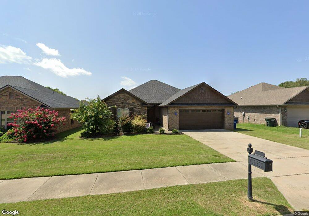
5335 Wilde Dr Conway, AR 72034
Estimated Value: $233,294 - $274,000
Studio
--
Bath
1,464
Sq Ft
$173/Sq Ft
Est. Value
About This Home
This home is located at 5335 Wilde Dr, Conway, AR 72034 and is currently estimated at $253,074, approximately $172 per square foot. 5335 Wilde Dr is a home with nearby schools including Woodrow Cummins Elementary School, Ruth Doyle Intermediate School, and Conway Junior High School.
Ownership History
Date
Name
Owned For
Owner Type
Purchase Details
Closed on
May 30, 2013
Sold by
Hcr Hdevelopment Llc
Bought by
Leach Properties Llc
Current Estimated Value
Purchase Details
Closed on
Dec 18, 2012
Sold by
Rush Hal Development Llc
Bought by
Hcr Development Llc
Home Financials for this Owner
Home Financials are based on the most recent Mortgage that was taken out on this home.
Original Mortgage
$138,000
Interest Rate
3.42%
Mortgage Type
Commercial
Purchase Details
Closed on
Nov 14, 2011
Sold by
Rushhal Development Llc
Bought by
Hcr Development Llc
Create a Home Valuation Report for This Property
The Home Valuation Report is an in-depth analysis detailing your home's value as well as a comparison with similar homes in the area
Home Values in the Area
Average Home Value in this Area
Purchase History
| Date | Buyer | Sale Price | Title Company |
|---|---|---|---|
| Leach Properties Llc | $159,000 | None Available | |
| Hcr Development Llc | $36,000 | None Available | |
| Hcr Development Llc | $39,600 | -- |
Source: Public Records
Mortgage History
| Date | Status | Borrower | Loan Amount |
|---|---|---|---|
| Previous Owner | Hcr Development Llc | $138,000 |
Source: Public Records
Tax History
| Year | Tax Paid | Tax Assessment Tax Assessment Total Assessment is a certain percentage of the fair market value that is determined by local assessors to be the total taxable value of land and additions on the property. | Land | Improvement |
|---|---|---|---|---|
| 2025 | $2,027 | $44,300 | $7,200 | $37,100 |
| 2024 | $1,858 | $44,300 | $7,200 | $37,100 |
| 2023 | $1,689 | $33,380 | $7,200 | $26,180 |
| 2022 | $1,689 | $33,380 | $7,200 | $26,180 |
| 2021 | $1,643 | $33,380 | $7,200 | $26,180 |
| 2020 | $1,494 | $29,520 | $7,200 | $22,320 |
| 2019 | $1,494 | $29,520 | $7,200 | $22,320 |
| 2018 | $1,494 | $29,520 | $7,200 | $22,320 |
| 2017 | $1,494 | $29,520 | $7,200 | $22,320 |
| 2016 | $1,494 | $29,520 | $7,200 | $22,320 |
| 2015 | $1,479 | $29,230 | $7,200 | $22,030 |
| 2014 | $1,479 | $29,230 | $7,200 | $22,030 |
Source: Public Records
Map
Nearby Homes
- 5235 Tennyson Dr
- 5215 Bay Town
- 5090 Oakhurst Way
- 1015 Champions Dr
- 1520 Southwinds Dr
- 1645 Nantucket Dr
- 1515 Southwinds Dr
- 1650 Dolphin Dr
- 1670 Dolphin Dr
- 1635 Southwinds Dr
- 4655 Palm Springs Cir
- 4520 Oregon Trail
- 4420 Raleigh Dr
- 4505 Sawgrass Cove
- 4335 Gazebo Dr
- 4325 Gazebo Dr
- 4830 Edgewood Park
- 4695 College Ave
- 4685 College Ave
- 335 Vintage Cove
- 5325 Wilde Dr
- 5345 Wilde Dr
- 5315 Wilde Dr
- 5355 Wilde Dr
- 5320 Lovette Cove
- 5330 Lovette Cove
- 5340 Wilde Dr
- 5330 Wilde Dr
- 5320 Wilde Dr
- 5365 Wilde Dr
- 5340 Lovette Cove
- 5350 Wilde Dr
- 5310 Wilde Dr
- 5310 Lovette Cove
- 5350 Lovette Cove
- 5375 Wilde Dr
- 1335 Tolkien Dr
- 5360 Wilde Dr
- 1325 Tolkien Dr
- 1315 Tolkien Dr
Your Personal Tour Guide
Ask me questions while you tour the home.