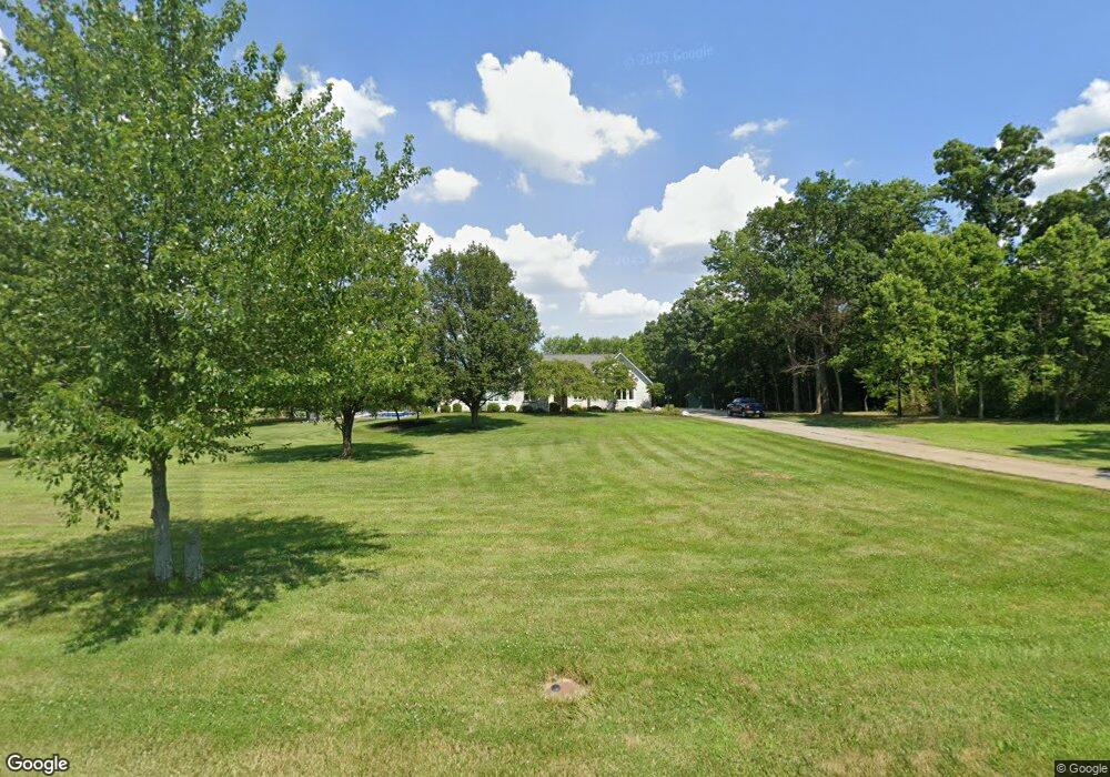
5336 Lesourdsville W Chester Liberty Twp., OH 45011
Estimated Value: $514,000 - $875,687
3
Beds
3
Baths
2,528
Sq Ft
$272/Sq Ft
Est. Value
About This Home
This home is located at 5336 Lesourdsville W Chester, Liberty Twp., OH 45011 and is currently estimated at $688,422, approximately $272 per square foot. 5336 Lesourdsville W Chester is a home with nearby schools including VanGorden Elementary School, Liberty Junior School, and Lakota East High School.
Ownership History
Date
Name
Owned For
Owner Type
Purchase Details
Closed on
Sep 7, 2017
Sold by
Coffing Christopher L and Coffing Kimberly G
Bought by
Coffing Christopher L and Coffing Kimberly G
Current Estimated Value
Purchase Details
Closed on
Jul 26, 2013
Sold by
Coffing Christopher L and Coffing Kimberly G
Bought by
Abrams Michael R and Abrams Amy D
Purchase Details
Closed on
Sep 21, 2009
Sold by
Coffing Thomas L and Coffing Sandra L
Bought by
Coffing Sandra L and The Sandra L Coffing Trust
Purchase Details
Closed on
Nov 29, 1993
Bought by
Coffing Thomas L
Create a Home Valuation Report for This Property
The Home Valuation Report is an in-depth analysis detailing your home's value as well as a comparison with similar homes in the area
Home Values in the Area
Average Home Value in this Area
Purchase History
| Date | Buyer | Sale Price | Title Company |
|---|---|---|---|
| Coffing Christopher L | -- | None Available | |
| Abrams Michael R | $144,000 | None Available | |
| Coffing Sandra L | -- | Attorney | |
| Coffing Thomas L | $80,000 | -- |
Source: Public Records
Tax History Compared to Growth
Tax History
| Year | Tax Paid | Tax Assessment Tax Assessment Total Assessment is a certain percentage of the fair market value that is determined by local assessors to be the total taxable value of land and additions on the property. | Land | Improvement |
|---|---|---|---|---|
| 2024 | $10,093 | $257,470 | $86,240 | $171,230 |
| 2023 | $9,968 | $257,470 | $86,240 | $171,230 |
| 2022 | $10,140 | $204,860 | $86,240 | $118,620 |
| 2021 | $10,086 | $204,860 | $86,240 | $118,620 |
| 2020 | $10,349 | $204,860 | $86,240 | $118,620 |
| 2019 | $9,875 | $178,080 | $86,240 | $91,840 |
| 2018 | $9,842 | $174,260 | $86,240 | $88,020 |
| 2017 | $10,018 | $174,260 | $86,240 | $88,020 |
| 2016 | $9,361 | $161,470 | $86,240 | $75,230 |
| 2015 | $9,383 | $161,470 | $86,240 | $75,230 |
| 2014 | $12,056 | $161,470 | $86,240 | $75,230 |
| 2013 | $12,056 | $200,550 | $117,100 | $83,450 |
Source: Public Records
Map
Nearby Homes
- 5259 Aspen Valley Dr
- 4360 Watoga Dr
- 5200 Poets Way
- 5609 Selu Dr
- 5627 Eagle Dance Dr
- 5618 Rachels View
- 5008 N Star Ct
- 4957 Streamside Ct
- 5406 Sugar Maple Run
- 5114 Princeton Glendale Rd
- 4943 Silver Creek Ct
- 5617 Creekside Meadows Dr
- 5238 Brougham Ln
- 5276 Brougham Ln
- 5396 Brougham Ln
- 5565 Eagle Ct
- 5100 Brougham Ln
- 5567 Eagle Ct
- 5145 Brougham Ln
- 4902 Harrier Ln
- 5350 Lesourdsville West Chester Rd
- 5284 Lesourdsville West Chester Rd
- 5202 Aspen Valley Dr
- 5438 Kyles Station Rd
- 5199 Aspen Valley Dr
- 5374 Canyon Ridge Dr
- 5212 Aspen Valley Dr
- 5364 Canyon Ridge Dr
- 5384 Canyon Ridge Dr
- 5222 Aspen Valley Dr
- 5209 Aspen Valley Dr
- 5354 Canyon Ridge Dr
- 0 Kyles Station Rd Unit 1266256
- 0 Kyles Station Rd Unit 1604930
- 5219 Aspen Valley Dr
- 5373 Canyon Ridge Dr
- 5373 Woodview Way
- 5232 Aspen Valley Dr
- 5344 Canyon Ridge Dr
- 5363 Canyon Ridge Dr