5337 E Kanoa Cir Wasilla, AK 99654
Estimated Value: $247,000 - $380,614
3
Beds
2
Baths
1,176
Sq Ft
$270/Sq Ft
Est. Value
About This Home
This home is located at 5337 E Kanoa Cir, Wasilla, AK 99654 and is currently estimated at $317,904, approximately $270 per square foot. 5337 E Kanoa Cir is a home located in Matanuska-Susitna Borough with nearby schools including John Shaw Elementary School, Colony Middle School, and Colony High School.
Ownership History
Date
Name
Owned For
Owner Type
Purchase Details
Closed on
Jan 31, 2011
Sold by
Ron Kuzina Builders and Kuzina Ronald E
Bought by
Kirn Phillip
Current Estimated Value
Home Financials for this Owner
Home Financials are based on the most recent Mortgage that was taken out on this home.
Original Mortgage
$145,000
Outstanding Balance
$99,408
Interest Rate
4.82%
Mortgage Type
New Conventional
Estimated Equity
$218,496
Purchase Details
Closed on
Oct 19, 2010
Sold by
Kuzina Ronald E
Bought by
Ron Kuzina Builders and Kuzina Ronald E
Home Financials for this Owner
Home Financials are based on the most recent Mortgage that was taken out on this home.
Original Mortgage
$139,500
Interest Rate
4.31%
Mortgage Type
Construction
Purchase Details
Closed on
Aug 16, 2010
Sold by
Pevan Robert
Bought by
Kuzina Ronald E
Create a Home Valuation Report for This Property
The Home Valuation Report is an in-depth analysis detailing your home's value as well as a comparison with similar homes in the area
Home Values in the Area
Average Home Value in this Area
Purchase History
| Date | Buyer | Sale Price | Title Company |
|---|---|---|---|
| Kirn Phillip | -- | Mckinley Title & Trust Inc | |
| Ron Kuzina Builders | -- | None Available | |
| Kuzina Ronald E | -- | None Available |
Source: Public Records
Mortgage History
| Date | Status | Borrower | Loan Amount |
|---|---|---|---|
| Open | Kirn Phillip | $145,000 | |
| Previous Owner | Ron Kuzina Builders | $139,500 |
Source: Public Records
Tax History
| Year | Tax Paid | Tax Assessment Tax Assessment Total Assessment is a certain percentage of the fair market value that is determined by local assessors to be the total taxable value of land and additions on the property. | Land | Improvement |
|---|---|---|---|---|
| 2025 | $3,439 | $313,100 | $38,000 | $275,100 |
| 2024 | $3,439 | $294,200 | $38,000 | $256,200 |
| 2023 | $3,183 | $282,600 | $38,000 | $244,600 |
| 2022 | $3,116 | $258,300 | $38,000 | $220,300 |
| 2021 | $3,046 | $228,600 | $38,000 | $190,600 |
| 2020 | $2,998 | $217,500 | $38,000 | $179,500 |
| 2019 | $2,939 | $211,300 | $38,000 | $173,300 |
| 2018 | $2,856 | $206,500 | $38,000 | $168,500 |
| 2017 | $2,802 | $202,600 | $38,000 | $164,600 |
| 2016 | $2,695 | $200,200 | $34,000 | $166,200 |
| 2015 | $2,413 | $193,600 | $34,000 | $159,600 |
| 2014 | $2,413 | $186,900 | $34,000 | $152,900 |
Source: Public Records
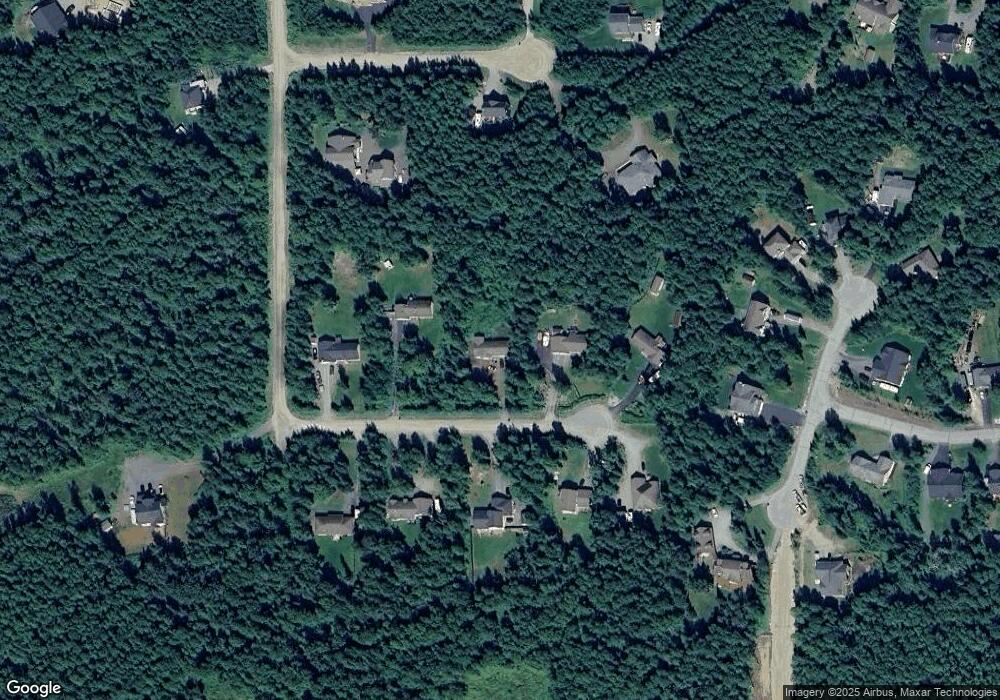
Map
Nearby Homes
- 4708 N Sandburg Dr
- 4672 N Sandburg Dr
- 4623 N Sandburg Dr
- 4636 N Sandburg Dr
- 4602 N Sandburg Dr
- 5420 E Beverly Ann Ln
- 5399 E Beverly Ann Ln
- 4431 N Cedarwood Dr
- 5771 N Talgach View Dr
- 4400 E Pamela Dr
- 4500 E Starwood Dr
- 4386 E Kilo Dr
- 5850 E Pamela Dr
- 6222 E Hart Lake Loop
- 3872 N Charley Dr
- Tr C Foxwood
- 4250 E Kilo Dr
- 4505 E Boulder Dr
- 6005 N Little Rock Cir
- 4074 E Harman Loop
- 5369 E Kanoa Cir
- 5305 E Kanoa Cir
- 5336 E Kanoa Cir
- 5275 E Kanoa Cir
- 5368 E Kanoa Cir
- 5304 E Kanoa Cir
- 5280 E Kimo Cir
- 5392 E Kanoa Cir
- 5360 E Kimo Cir
- 5270 E Kanoa Cir
- 5330 E Kimo Cir
- 4870 N Sandburg Cir
- 4920 N Sandburg Cir
- 4822 N Sandburg Cir
- 4822 N Sandburg Cir
- 4936 N Sandburg Cir
- L3 B2 N Sandburg Dr
- L1 B2 N Sandburg Dr
- L3 B1 N Sandburg Dr
- L2 B1 N Sandburg Dr
Your Personal Tour Guide
Ask me questions while you tour the home.