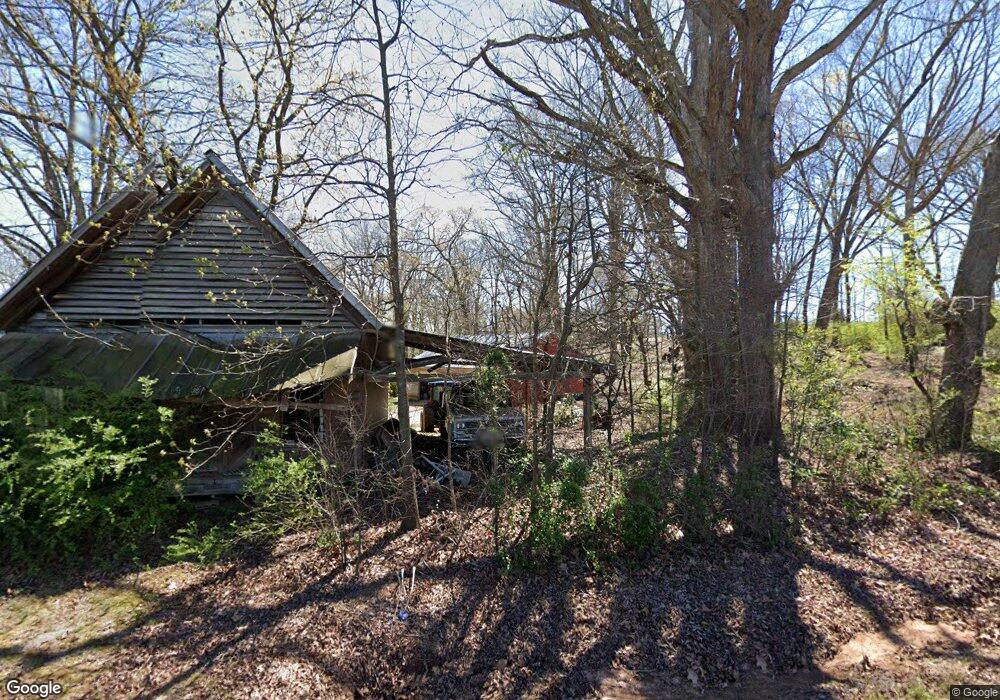
5337 Highway 326 Carnesville, GA 30521
Estimated Value: $240,000 - $887,982
3
Beds
3
Baths
2,036
Sq Ft
$277/Sq Ft
Est. Value
About This Home
This home is located at 5337 Highway 326, Carnesville, GA 30521 and is currently estimated at $563,991, approximately $277 per square foot. 5337 Highway 326 is a home located in Franklin County with nearby schools including Franklin County High School.
Ownership History
Date
Name
Owned For
Owner Type
Purchase Details
Closed on
Apr 6, 2023
Sold by
Eavenson Wesley D
Bought by
Harris William Chase and Harris Alicia Paige
Current Estimated Value
Purchase Details
Closed on
Jul 14, 2016
Sold by
Alicia Paige
Bought by
Harris William Chase and Eavenson Alicia Paige
Purchase Details
Closed on
Jul 12, 2016
Sold by
Eavenson Wesley D
Bought by
Eavenson Alicia Paige
Purchase Details
Closed on
May 8, 2009
Sold by
Eavenson Heath
Bought by
Eavenson Wesley
Create a Home Valuation Report for This Property
The Home Valuation Report is an in-depth analysis detailing your home's value as well as a comparison with similar homes in the area
Home Values in the Area
Average Home Value in this Area
Purchase History
| Date | Buyer | Sale Price | Title Company |
|---|---|---|---|
| Harris William Chase | -- | -- | |
| Dickson Kelsey H | $505,000 | -- | |
| Harris William Chase | -- | -- | |
| Eavenson Alicia Paige | -- | -- | |
| Eavenson Wesley | -- | -- |
Source: Public Records
Tax History Compared to Growth
Tax History
| Year | Tax Paid | Tax Assessment Tax Assessment Total Assessment is a certain percentage of the fair market value that is determined by local assessors to be the total taxable value of land and additions on the property. | Land | Improvement |
|---|---|---|---|---|
| 2024 | $2,942 | $268,676 | $175,494 | $93,182 |
| 2023 | $2,970 | $246,519 | $161,043 | $85,476 |
| 2022 | $2,757 | $203,531 | $124,955 | $78,576 |
| 2021 | $2,677 | $194,779 | $124,955 | $69,824 |
| 2020 | $2,371 | $163,018 | $104,130 | $58,888 |
| 2019 | $2,278 | $163,018 | $104,130 | $58,888 |
| 2018 | $2,044 | $142,342 | $91,177 | $51,165 |
| 2017 | $2,104 | $142,342 | $91,177 | $51,165 |
| 2016 | $1,942 | $138,916 | $93,380 | $45,536 |
| 2015 | -- | $138,916 | $93,380 | $45,536 |
| 2014 | -- | $138,916 | $93,380 | $45,536 |
| 2013 | -- | $139,818 | $93,380 | $46,438 |
Source: Public Records
Map
Nearby Homes
- 775 Riverbend Rd
- 1020 Riverbend Rd
- 0 Varner Rd
- 24 Tomlin Way
- 7527 Highway 326
- 1065 Hebron Rd
- 2100 Westbrook Rd
- 161 Meadow Lake Dr
- 139 Meadow Lake Dr
- 731 Borders Rd
- 689 Riverside Ct
- 166 Timberlane Dr
- 1000 Nails Creek Crossing
- 9 Dons Ct
- 31 Dons Ct
- 41 Manley Terrace
- HWY 51 Owl Hollow Rd
- 0 Nails Creek Crossing Unit 10584678
- 163 M t Trail
- 8188 Sandy Cross Rd
- 3883 Bold Springs Rd
- 51 Bold Springs Church Rd
- 4727 Highway 326
- 3970 Bold Springs Rd
- 4970 Georgia 326
- 4970 Highway 326
- 4115 Bold Springs Rd
- 5611 Highway 326
- 136 Bold Springs Church Rd
- 126 Bold Springs Church Rd
- 4950 Highway 326
- 900 Guerry Hall Rd
- 3311 Bold Springs Rd
- 000 Bold Springs Rd
- 0 Bold Springs Rd Unit 7074321
- 0 Bold Springs Rd Unit 7139353
- 0 Bold Springs Rd
- 255 Labrador Ln
- 130 Bold Springs Church Rd
- 4323 Bold Springs Rd
