Estimated Value: $202,869
--
Bed
--
Bath
4,000
Sq Ft
$51/Sq Ft
Est. Value
About This Home
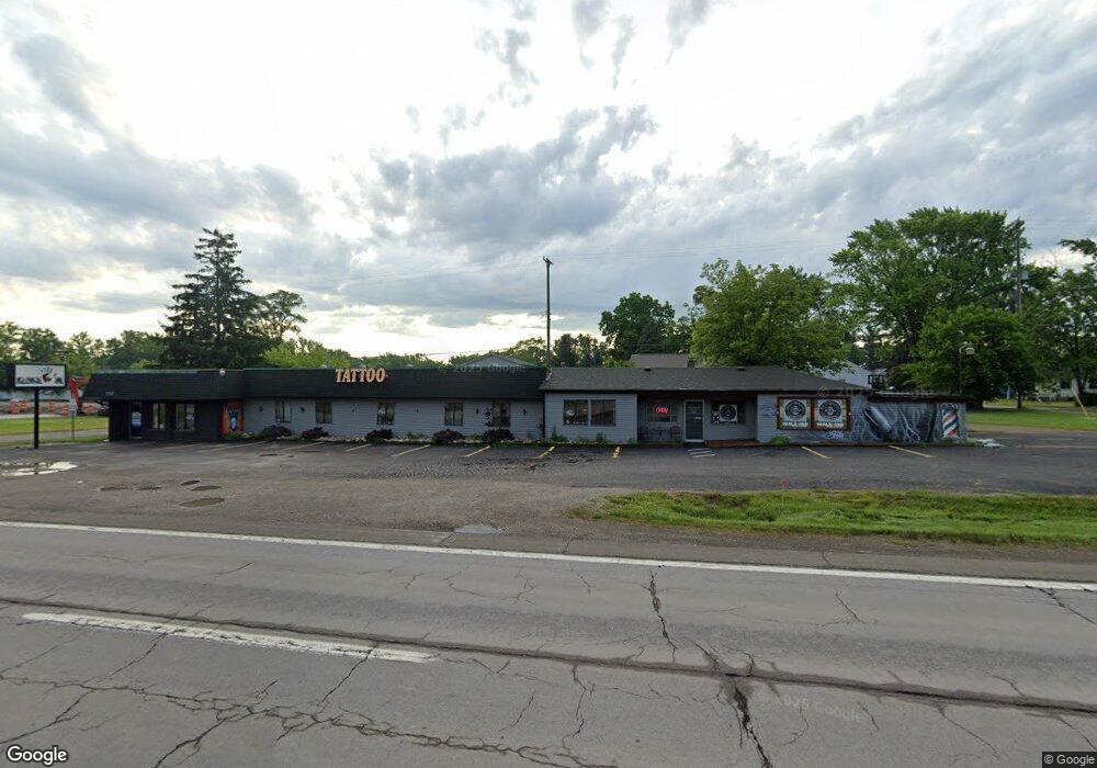
This home is located at 5337 S Dort Hwy, Flint, MI 48507 and is currently estimated at $202,869, approximately $50 per square foot. 5337 S Dort Hwy is a home located in Genesee County with nearby schools including Anderson Elementary School, McGrath Elementary School, and Grand Blanc West Middle School.
Ownership History
Date
Name
Owned For
Owner Type
Purchase Details
Closed on
Oct 30, 2023
Sold by
Farah Ramzi
Bought by
Tattoo City Llc
Current Estimated Value
Home Financials for this Owner
Home Financials are based on the most recent Mortgage that was taken out on this home.
Original Mortgage
$143,200
Outstanding Balance
$140,421
Interest Rate
7.19%
Mortgage Type
New Conventional
Estimated Equity
$62,448
Purchase Details
Closed on
Oct 29, 2001
Sold by
Smith Richard and Smith Sharon
Bought by
Farah Ramzi
Create a Home Valuation Report for This Property
The Home Valuation Report is an in-depth analysis detailing your home's value as well as a comparison with similar homes in the area
Home Values in the Area
Average Home Value in this Area
Purchase History
| Date | Buyer | Sale Price | Title Company |
|---|---|---|---|
| Tattoo City Llc | $179,900 | None Listed On Document | |
| Farah Ramzi | $280,000 | Sargents Title Company | |
| Smith Richard | $145,000 | Sargents Title Company |
Source: Public Records
Mortgage History
| Date | Status | Borrower | Loan Amount |
|---|---|---|---|
| Open | Tattoo City Llc | $143,200 |
Source: Public Records
Tax History Compared to Growth
Tax History
| Year | Tax Paid | Tax Assessment Tax Assessment Total Assessment is a certain percentage of the fair market value that is determined by local assessors to be the total taxable value of land and additions on the property. | Land | Improvement |
|---|---|---|---|---|
| 2025 | $6,158 | $112,900 | $0 | $0 |
| 2024 | $4,449 | $102,800 | $0 | $0 |
| 2023 | $3,396 | $110,900 | $0 | $0 |
| 2022 | $4,364 | $96,000 | $0 | $0 |
| 2021 | $4,272 | $86,200 | $0 | $0 |
| 2020 | $3,087 | $85,700 | $0 | $0 |
| 2019 | $3,039 | $85,600 | $0 | $0 |
| 2018 | $3,991 | $68,300 | $0 | $0 |
| 2017 | $4,003 | $68,800 | $0 | $0 |
| 2016 | $4,115 | $71,700 | $0 | $0 |
| 2015 | $4,093 | $77,600 | $0 | $0 |
| 2012 | -- | $71,700 | $71,700 | $0 |
Source: Public Records
Map
Nearby Homes
- 00 Durant Heights
- 00 Sloan Heights
- 3077 Kettering Heights
- 3049 Baker Heights
- 3092 Durant Heights
- 1234 Fisher Heights
- 2346 Rollins St
- 00 S Dort Hwy
- VL S Saginaw St
- 6085 Westdale Dr
- 2357 Southampton Ave
- 5391 Antoinette Dr
- Lot C Chapin St
- Lot B Chapin St
- Lot A Chapin St
- 6094 Grove Ave
- 00 E Maple Ave
- 3246 E Maple Ave
- 00 Lincoln Manor Dr
- 01 S Saginaw St
- 5337 S Dort Hwy
- 3019 Sloan Heights
- 3024 Kettering Heights
- 3037 Sloan Heights
- 3030 Kettering Heights
- 5367 S Dort Hwy
- 3026 Sloan Heights
- 5362 S Dort Hwy
- 3038 Kettering Heights
- 3032 Sloan Heights
- 5375 S Dort Hwy
- 5238 S Dort Hwy
- 3023 Durant Heights
- 3023 Durant Heights
- 5313 S Dort Hwy
- 5354 S Dort Hwy
- 3036 Sloan Heights
- 3029 Durant Heights
- 5374 S Dort Hwy
- 3046 Kettering Heights