5338 Safe Harbor Way Salisbury, MD 21801
South Salisbury NeighborhoodEstimated Value: $701,000 - $1,116,000
Studio
1
Bath
3,684
Sq Ft
$232/Sq Ft
Est. Value
About This Home
This home is located at 5338 Safe Harbor Way, Salisbury, MD 21801 and is currently estimated at $855,804, approximately $232 per square foot. 5338 Safe Harbor Way is a home located in Wicomico County with nearby schools including Fruitland Primary School, Fruitland Intermediate School, and Bennett Middle School.
Ownership History
Date
Name
Owned For
Owner Type
Purchase Details
Closed on
Oct 12, 2018
Sold by
Terra Firma Llc
Bought by
Butz Andrew and Andrew Butz Revocable Trust
Current Estimated Value
Home Financials for this Owner
Home Financials are based on the most recent Mortgage that was taken out on this home.
Original Mortgage
$702,000
Outstanding Balance
$613,488
Interest Rate
4.6%
Mortgage Type
Unknown
Estimated Equity
$242,316
Create a Home Valuation Report for This Property
The Home Valuation Report is an in-depth analysis detailing your home's value as well as a comparison with similar homes in the area
Home Values in the Area
Average Home Value in this Area
Purchase History
| Date | Buyer | Sale Price | Title Company |
|---|---|---|---|
| Butz Andrew | $159,900 | None Available |
Source: Public Records
Mortgage History
| Date | Status | Borrower | Loan Amount |
|---|---|---|---|
| Open | Butz Andrew | $702,000 |
Source: Public Records
Tax History
| Year | Tax Paid | Tax Assessment Tax Assessment Total Assessment is a certain percentage of the fair market value that is determined by local assessors to be the total taxable value of land and additions on the property. | Land | Improvement |
|---|---|---|---|---|
| 2025 | $5,192 | $621,233 | $0 | $0 |
| 2024 | $5,190 | $595,700 | $162,100 | $433,600 |
| 2023 | $5,076 | $550,933 | $0 | $0 |
| 2022 | $4,961 | $506,167 | $0 | $0 |
| 2021 | $4,700 | $461,400 | $162,100 | $299,300 |
| 2020 | $4,683 | $454,067 | $0 | $0 |
| 2019 | $1,522 | $145,433 | $0 | $0 |
| 2018 | $1,564 | $142,100 | $142,100 | $0 |
| 2017 | $1,425 | $143,033 | $0 | $0 |
| 2016 | -- | $133,967 | $0 | $0 |
| 2015 | $938 | $124,900 | $0 | $0 |
| 2014 | $938 | $124,900 | $0 | $0 |
Source: Public Records
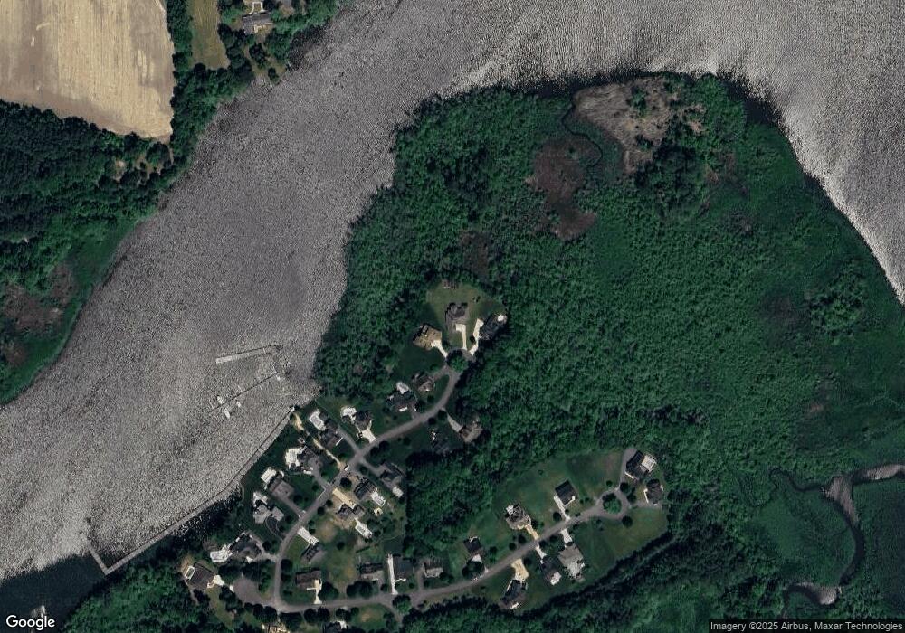
Map
Nearby Homes
- 27480 Mooring Way
- 5485 Saint Andrews Dr
- 27160 Scotland Pkwy
- 5657 Caledonia Dr
- 5211 Dove Point Ln
- 5660 Caledonia Dr
- 5662 Clydesdale Dr
- 5437 Nithsdale Dr
- 5461 Loch Ness Terrace
- 5423 Loch Ness Terrace
- 5490 Royal Mile Blvd
- 5482 Royal Mile Blvd
- 5903 Morgans Way
- 27457 Equestrian Dr
- 5709 Royal Mile Blvd
- 27621 Equestrian Dr
- 27768 Crooked Oak Ln
- 27539 Harness Ln
- 5756 Earldom Ln
- 0 Campground Rd Unit MDWC2021796
- 5333 Safe Harbor Way
- 5334 Safe Harbor Way
- 5322 Safe Harbor Way
- 5319 Safe Harbor Way
- 5314 Safe Harbor Way
- 5311 Safe Harbor Way
- 5306 Safe Harbor Way
- 5307 Safe Harbor Way
- D-26 Boat Slip
- 5300 Safe Harbor Way
- 5301 Safe Harbor Way
- D-1SL Boat Slip
- Lot 8 Safe Harbor Way
- Lot 4 Safe Harbor Way
- Lot 5 Safe Harbor Way
- D-2SL Boat Slip
- D-25 Boat Slip - Village Down River Unit D-25
- D-3SL Boat Slip
- D-28 Boat Slip - Village Down River Unit D-28
- D-22 Boat Slip
Your Personal Tour Guide
Ask me questions while you tour the home.