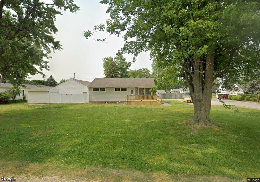
5339 Hammond Dr Toledo, OH 43611
Shoreland NeighborhoodEstimated Value: $142,121 - $173,000
3
Beds
1
Bath
960
Sq Ft
$162/Sq Ft
Est. Value
About This Home
This home is located at 5339 Hammond Dr, Toledo, OH 43611 and is currently estimated at $155,280, approximately $161 per square foot. 5339 Hammond Dr is a home located in Lucas County with nearby schools including Shoreland Elementary School, Washington Junior High School, and Jefferson Junior High School.
Ownership History
Date
Name
Owned For
Owner Type
Purchase Details
Closed on
Feb 12, 2010
Sold by
Pentz Gary R
Bought by
Brown Michelle F
Current Estimated Value
Home Financials for this Owner
Home Financials are based on the most recent Mortgage that was taken out on this home.
Original Mortgage
$62,349
Outstanding Balance
$42,223
Interest Rate
5.5%
Mortgage Type
FHA
Estimated Equity
$113,057
Purchase Details
Closed on
Aug 12, 1994
Sold by
Pentz Bruce
Bought by
Pentz Gary R
Create a Home Valuation Report for This Property
The Home Valuation Report is an in-depth analysis detailing your home's value as well as a comparison with similar homes in the area
Home Values in the Area
Average Home Value in this Area
Purchase History
| Date | Buyer | Sale Price | Title Company |
|---|---|---|---|
| Brown Michelle F | $63,500 | First Capital Title Svc Inc | |
| Pentz Gary R | $14,000 | -- |
Source: Public Records
Mortgage History
| Date | Status | Borrower | Loan Amount |
|---|---|---|---|
| Open | Brown Michelle F | $62,349 |
Source: Public Records
Tax History Compared to Growth
Tax History
| Year | Tax Paid | Tax Assessment Tax Assessment Total Assessment is a certain percentage of the fair market value that is determined by local assessors to be the total taxable value of land and additions on the property. | Land | Improvement |
|---|---|---|---|---|
| 2024 | $1,356 | $38,255 | $15,750 | $22,505 |
| 2023 | $2,521 | $29,715 | $12,880 | $16,835 |
| 2022 | $2,511 | $29,715 | $12,880 | $16,835 |
| 2021 | $2,516 | $29,715 | $12,880 | $16,835 |
| 2020 | $2,420 | $24,430 | $10,570 | $13,860 |
| 2019 | $2,370 | $24,430 | $10,570 | $13,860 |
| 2018 | $2,278 | $24,430 | $10,570 | $13,860 |
| 2017 | $2,400 | $24,955 | $12,250 | $12,705 |
| 2016 | $2,371 | $71,300 | $35,000 | $36,300 |
| 2015 | $2,361 | $71,300 | $35,000 | $36,300 |
| 2014 | $2,050 | $24,960 | $12,250 | $12,710 |
| 2013 | $2,050 | $24,960 | $12,250 | $12,710 |
Source: Public Records
Map
Nearby Homes
- 5346 Patriot Dr
- 5310 Hammond Dr
- 5516 Fortune Dr
- 5433 Brophy Dr
- 2211 E Harbor Dr
- 2545 Woodfox Dr
- 2324 Havencrest Ct
- 5331 Whitehouse Dr
- 2207 E Harbor Dr
- 5531 Ottawa River Rd
- 5534 Suder Ave
- 2733 130th St
- 5504 Ketukkee Trail
- 2240 Ruthanne Dr
- 2642 124th St
- 6205 Windamar Rd
- 5454 Brook Point Rd
- 5457 Thornbrook Trail
- 2650 120th St
- 2827 126th St
- 5335 Hammond Dr
- 5331 Hammond Dr
- 5401 Hammond Dr
- 5342 Patriot Dr
- 5336 Patriot Dr
- 5402 Patriot Dr
- 5405 Hammond Dr
- 5325 Hammond Dr
- 5330 Patriot Dr
- 5334 Hammond Dr
- 5406 Patriot Dr
- 5344 Hammond Dr
- 5326 Patriot Dr
- 5326 Hammond Dr
- 5410 Patriot Dr
- 5410 Hammond Dr
- 5323 Hammond Dr
- 5418 Patriot Dr
- 5318 Patriot Dr
- 5319 Hammond Dr