Estimated Value: $273,832 - $476,000
2
Beds
2
Baths
1,920
Sq Ft
$176/Sq Ft
Est. Value
About This Home
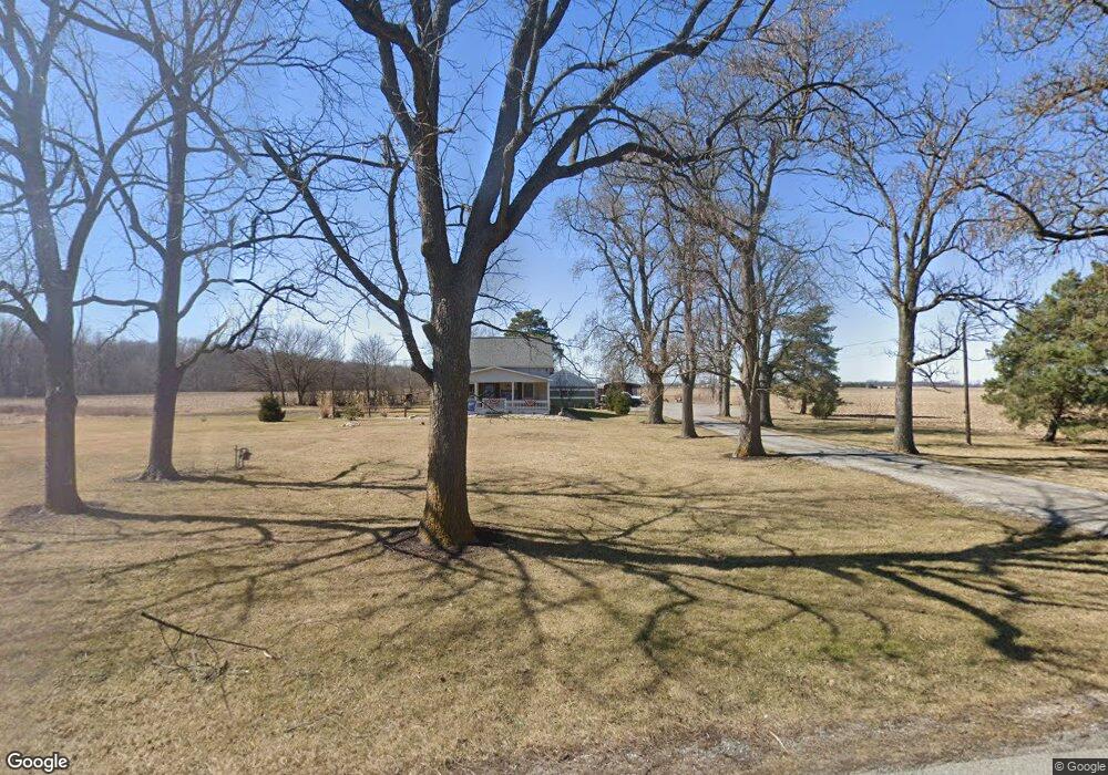
This home is located at 5339 State Route 235, Ada, OH 45810 and is currently estimated at $338,458, approximately $176 per square foot. 5339 State Route 235 is a home located in Hardin County with nearby schools including Ada Elementary School and Ada High School.
Ownership History
Date
Name
Owned For
Owner Type
Purchase Details
Closed on
Dec 14, 2017
Sold by
Stranskey Michael T
Bought by
Petersen Benjamin J
Current Estimated Value
Home Financials for this Owner
Home Financials are based on the most recent Mortgage that was taken out on this home.
Original Mortgage
$165,900
Outstanding Balance
$139,673
Interest Rate
3.94%
Mortgage Type
Future Advance Clause Open End Mortgage
Estimated Equity
$198,785
Purchase Details
Closed on
Jun 18, 1999
Bought by
Stransky Michael T
Create a Home Valuation Report for This Property
The Home Valuation Report is an in-depth analysis detailing your home's value as well as a comparison with similar homes in the area
Purchase History
| Date | Buyer | Sale Price | Title Company |
|---|---|---|---|
| Petersen Benjamin J | $165,900 | Northwest Title Agency Co | |
| Stransky Michael T | $115,000 | -- |
Source: Public Records
Mortgage History
| Date | Status | Borrower | Loan Amount |
|---|---|---|---|
| Open | Petersen Benjamin J | $165,900 |
Source: Public Records
Tax History
| Year | Tax Paid | Tax Assessment Tax Assessment Total Assessment is a certain percentage of the fair market value that is determined by local assessors to be the total taxable value of land and additions on the property. | Land | Improvement |
|---|---|---|---|---|
| 2024 | $2,253 | $60,060 | $13,240 | $46,820 |
| 2023 | $2,234 | $60,060 | $13,240 | $46,820 |
| 2022 | $1,799 | $41,990 | $7,110 | $34,880 |
| 2021 | $1,981 | $41,990 | $7,110 | $34,880 |
| 2020 | $2,006 | $41,990 | $7,110 | $34,880 |
| 2019 | $1,778 | $37,670 | $6,890 | $30,780 |
| 2018 | $1,743 | $37,670 | $6,890 | $30,780 |
| 2017 | $834 | $37,670 | $6,890 | $30,780 |
| 2016 | $1,152 | $26,730 | $6,370 | $20,360 |
| 2015 | $1,117 | $26,730 | $6,370 | $20,360 |
| 2014 | $1,125 | $26,730 | $6,370 | $20,360 |
| 2013 | $1,195 | $26,890 | $6,370 | $20,520 |
Source: Public Records
Map
Nearby Homes
- 2864 Ohio 309
- 318 Willeke Ave
- 820 S Main St
- 710 S Main St
- 314 E University Ave
- 308-310 S Simon St
- 211 S Main St
- 210 N Gilbert St
- 602 Conley Ave
- 442 Edwards St
- 803 N Front St
- 327 W North Ave
- 503 E North Ave
- 128 W North Ave
- 629 N Main St
- 724 N Main St
- 746 N Main St Unit 61
- 746 N Main St Unit 63
- 746 N Main St Unit 74
- 746 N Main St Unit 9
- 5339 Ohio 235
- 5320 State Route 235
- 5368 State Route 235
- 5288 State Route 235
- 5416 State Route 235
- 5268 State Route 235
- 5448 State Route 235
- 5489 Sr
- 5489 State Route 235
- 5480 State Route 235
- 5641 Tr 55
- 5507 State Route 235
- 5491 Sr
- 5491 State Route 235
- 5491 State Route 235
- CO RD 60
- 2959 County Rd
- 2959 Cr
Your Personal Tour Guide
Ask me questions while you tour the home.