534 Airport Rd Ashland, PA 17921
Estimated Value: $223,978 - $396,000
3
Beds
3
Baths
1,571
Sq Ft
$182/Sq Ft
Est. Value
About This Home
This home is located at 534 Airport Rd, Ashland, PA 17921 and is currently estimated at $285,745, approximately $181 per square foot. 534 Airport Rd is a home with nearby schools including Tri-Valley Junior/Senior High School.
Ownership History
Date
Name
Owned For
Owner Type
Purchase Details
Closed on
Mar 16, 2021
Sold by
Quandel Gregory A and Quandel Jessica M
Bought by
Roehl Richard T and Roehl Lauren E
Current Estimated Value
Purchase Details
Closed on
Jul 30, 2013
Sold by
Ladue Daniel L and Ladue Susan
Bought by
Quandel Gregory A and Quandel Jessica M
Home Financials for this Owner
Home Financials are based on the most recent Mortgage that was taken out on this home.
Original Mortgage
$27,900
Interest Rate
3.95%
Mortgage Type
Future Advance Clause Open End Mortgage
Create a Home Valuation Report for This Property
The Home Valuation Report is an in-depth analysis detailing your home's value as well as a comparison with similar homes in the area
Home Values in the Area
Average Home Value in this Area
Purchase History
| Date | Buyer | Sale Price | Title Company |
|---|---|---|---|
| Roehl Richard T | $47,500 | None Available | |
| Quandel Gregory A | $46,500 | None Available |
Source: Public Records
Mortgage History
| Date | Status | Borrower | Loan Amount |
|---|---|---|---|
| Previous Owner | Quandel Gregory A | $27,900 |
Source: Public Records
Tax History Compared to Growth
Tax History
| Year | Tax Paid | Tax Assessment Tax Assessment Total Assessment is a certain percentage of the fair market value that is determined by local assessors to be the total taxable value of land and additions on the property. | Land | Improvement |
|---|---|---|---|---|
| 2025 | $4,650 | $70,075 | $14,605 | $55,470 |
| 2024 | $849 | $14,605 | $14,605 | $0 |
| 2023 | $817 | $14,605 | $14,605 | $0 |
| 2022 | $793 | $14,605 | $14,605 | $0 |
| 2021 | $769 | $14,605 | $14,605 | $0 |
| 2020 | $769 | $14,605 | $14,605 | $0 |
| 2018 | $738 | $14,605 | $14,605 | $0 |
| 2017 | $708 | $14,605 | $14,605 | $0 |
| 2015 | -- | $14,605 | $14,605 | $0 |
| 2011 | -- | $14,605 | $0 | $0 |
Source: Public Records
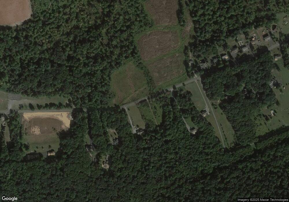
Map
Nearby Homes
- 572 Airport Rd
- Lot 35 Cedar Creek Dr
- 3 Bass Dr
- 416 Dutchtown Rd
- 226 W Biddle St
- 505 Mcknight St
- 310 Hobart St
- 235 Biddle St
- 3 Wyncoop Ave
- 60 South St
- 121 Spruce St
- 0 Silver Ln
- 40 High Rd
- 49 Paul St
- 314 Main St
- 0 Dutchtown Rd
- 0 W Side of Stein Rd
- 8 Country Club Rd
- Stafford Plan at Country Club Estates
- New Yorker Plan at Country Club Estates