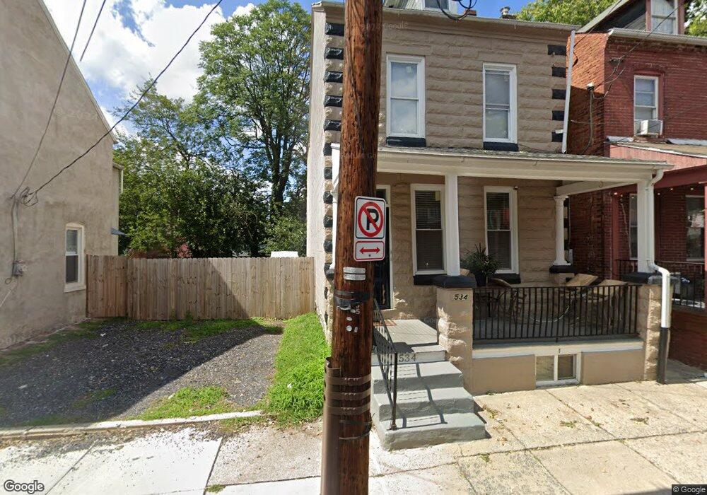
534 Chester St Lancaster, PA 17602
Churchtowne NeighborhoodEstimated Value: $136,000 - $239,000
4
Beds
2
Baths
1,610
Sq Ft
$121/Sq Ft
Est. Value
About This Home
This home is located at 534 Chester St, Lancaster, PA 17602 and is currently estimated at $194,443, approximately $120 per square foot. 534 Chester St is a home located in Lancaster County with nearby schools including Carter & MacRae Elementary School, Reynolds Middle School, and McCaskey High School.
Ownership History
Date
Name
Owned For
Owner Type
Purchase Details
Closed on
Oct 29, 2008
Sold by
Redevelopment Authority Of The City Of L
Bought by
Enty Barbara J
Current Estimated Value
Purchase Details
Closed on
Dec 11, 2001
Sold by
Stewart James E
Bought by
Valencia Vladimir
Purchase Details
Closed on
Aug 3, 1998
Sold by
Mcfadden Ernest E and Mcfadden Dora L
Bought by
Enty Barbara J
Create a Home Valuation Report for This Property
The Home Valuation Report is an in-depth analysis detailing your home's value as well as a comparison with similar homes in the area
Home Values in the Area
Average Home Value in this Area
Purchase History
| Date | Buyer | Sale Price | Title Company |
|---|---|---|---|
| Enty Barbara J | $1,250 | None Available | |
| Valencia Vladimir | $1,650 | -- | |
| Enty Barbara J | -- | -- |
Source: Public Records
Tax History Compared to Growth
Tax History
| Year | Tax Paid | Tax Assessment Tax Assessment Total Assessment is a certain percentage of the fair market value that is determined by local assessors to be the total taxable value of land and additions on the property. | Land | Improvement |
|---|---|---|---|---|
| 2025 | $2,283 | $57,700 | $5,900 | $51,800 |
| 2024 | $2,283 | $57,700 | $5,900 | $51,800 |
| 2023 | $2,245 | $57,700 | $5,900 | $51,800 |
| 2022 | $2,151 | $57,700 | $5,900 | $51,800 |
| 2021 | $2,105 | $57,700 | $5,900 | $51,800 |
| 2020 | $2,105 | $57,700 | $5,900 | $51,800 |
| 2019 | $2,074 | $57,700 | $5,900 | $51,800 |
| 2018 | $1,368 | $55,300 | $5,900 | $49,400 |
| 2017 | $2,264 | $49,300 | $6,100 | $43,200 |
| 2016 | $2,244 | $49,300 | $6,100 | $43,200 |
| 2015 | $875 | $49,300 | $6,100 | $43,200 |
| 2014 | $1,958 | $49,300 | $6,100 | $43,200 |
Source: Public Records
Map
Nearby Homes
- 462 S Christian St
- 507 Locust St
- 536 Woodward St
- 513 Howard Ave
- 520 S Duke St
- 555 Woodward St
- 567 S Christian St
- 459 S Queen St
- 316 Beaver St
- 14 E Farnum St
- 341 S Prince St
- 518 Green St
- 506 Beaver St
- 348 S Prince St
- 346 S Prince St
- 530 S Lime St
- 543 S Prince St
- 561 S Lime St
- 641 S Queen St
- 429 Hillside Ave
- 532 Chester St
- 538 Chester St
- 530 Chester St
- 540 Half Chester St
- 540 Chester St
- 540 Chester St
- 540 1/2 Chester St
- 470 Atlantic Ave
- 468 Atlantic Ave
- 542 Chester St
- 466 Atlantic Ave
- 474 Atlantic Ave
- 464 Atlantic Ave
- 533 Chester St
- 535 Chester St
- 462 Atlantic Ave
- 531 Chester St
- 460 Atlantic Ave
- 537 North St
- 531 W North St