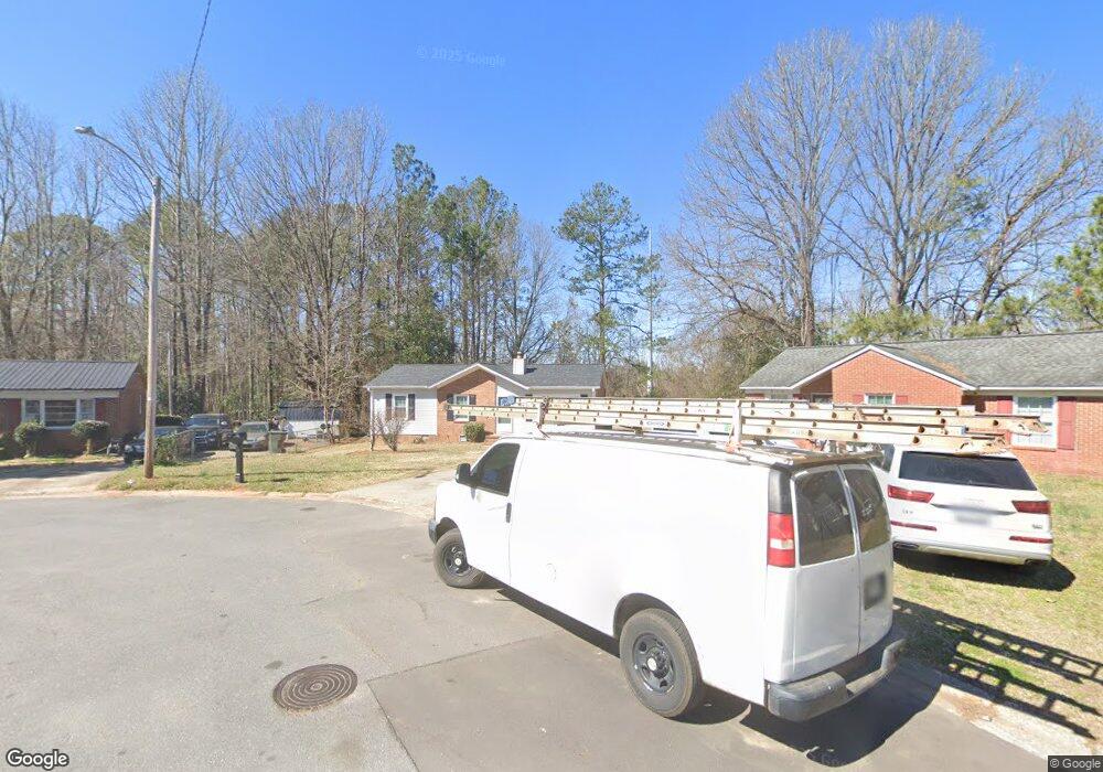
534 Devore Place Rock Hill, SC 29730
Estimated Value: $100,000 - $202,000
Studio
--
Bath
1,075
Sq Ft
$130/Sq Ft
Est. Value
About This Home
This home is located at 534 Devore Place, Rock Hill, SC 29730 and is currently estimated at $139,450, approximately $129 per square foot. 534 Devore Place is a home located in York County with nearby schools including Sunset Park Elementary School, Saluda Trail Middle School, and Northwestern High School.
Ownership History
Date
Name
Owned For
Owner Type
Purchase Details
Closed on
Oct 19, 2004
Sold by
Mcclenningham Virginia and Mcclenningham Robert
Bought by
Bank One Na
Current Estimated Value
Purchase Details
Closed on
Mar 15, 2004
Sold by
Bank One Na
Bought by
Cureton Randall A
Home Financials for this Owner
Home Financials are based on the most recent Mortgage that was taken out on this home.
Original Mortgage
$38,178
Interest Rate
5.57%
Mortgage Type
Unknown
Purchase Details
Closed on
May 15, 1998
Sold by
Caldwell Richard E
Bought by
Brice Virginia M
Create a Home Valuation Report for This Property
The Home Valuation Report is an in-depth analysis detailing your home's value as well as a comparison with similar homes in the area
Home Values in the Area
Average Home Value in this Area
Purchase History
| Date | Buyer | Sale Price | Title Company |
|---|---|---|---|
| Bank One Na | $2,500 | -- | |
| Cureton Randall A | $42,000 | -- | |
| Brice Virginia M | $44,800 | -- |
Source: Public Records
Mortgage History
| Date | Status | Borrower | Loan Amount |
|---|---|---|---|
| Previous Owner | Cureton Randall A | $38,178 |
Source: Public Records
Tax History
| Year | Tax Paid | Tax Assessment Tax Assessment Total Assessment is a certain percentage of the fair market value that is determined by local assessors to be the total taxable value of land and additions on the property. | Land | Improvement |
|---|---|---|---|---|
| 2025 | $2,270 | $5,280 | $960 | $4,320 |
| 2024 | $2,046 | $4,623 | $959 | $3,664 |
| 2023 | $2,049 | $4,623 | $959 | $3,664 |
| 2022 | $1,953 | $4,623 | $959 | $3,664 |
| 2021 | -- | $4,623 | $959 | $3,664 |
| 2020 | $1,913 | $4,623 | $0 | $0 |
| 2019 | $1,706 | $4,020 | $0 | $0 |
| 2018 | $1,681 | $4,020 | $0 | $0 |
| 2017 | $1,623 | $4,020 | $0 | $0 |
| 2016 | $1,591 | $4,020 | $0 | $0 |
| 2014 | $1,582 | $4,020 | $840 | $3,180 |
| 2013 | $1,582 | $4,170 | $840 | $3,330 |
Source: Public Records
Map
Nearby Homes
- 358 Orr Dr
- 357 Barnes St
- 1195 Cavalier Ln
- 235 Florence St
- 1196 Cavalier Ln
- 309 Orr Dr
- 922 Peoria Ln
- 316 Scoggins St
- 218 Morgan St
- 214 Orr Dr
- 215 Friedheim Rd
- 206 Friedheim Rd
- 664 Simpson St
- 616 Simpson St
- 457 Fewell St
- 723 Finley Rd
- 138 Woodside Village Dr
- 519 Finley Rd
- 212 Brownstone Dr Unit LF81
- 412 Fewell St
- 530 Devore Place Unit 30
- 535 Devore Place
- 526 Devore Place
- 531 Devore Place Unit 27
- 527 Devore Place
- 520 Devore Place
- 520 Devore Place
- 521 Devore Place
- 536 Friedheim Rd
- 532 Friedheim Rd
- 540 Friedheim Rd
- 526 Friedheim Rd
- 514 Devore Place
- 520 Friedheim Rd
- 520 Friedheim Rd
- 515 Devore Place
- 544 Friedheim Rd
- 514 Friedheim Rd Unit 19
- 548 Friedheim Rd
- 508 Devore Place
Your Personal Tour Guide
Ask me questions while you tour the home.