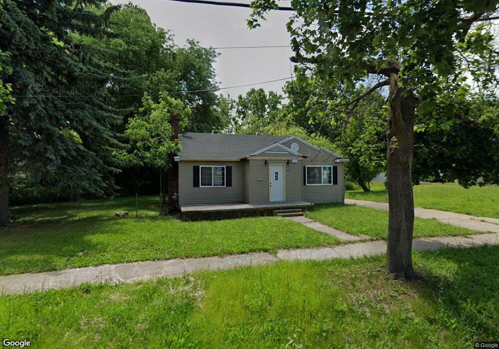
534 E 12th St Flint, MI 48503
South Parks NeighborhoodEstimated Value: $63,000 - $123,000
2
Beds
2
Baths
1,270
Sq Ft
$64/Sq Ft
Est. Value
About This Home
This home is located at 534 E 12th St, Flint, MI 48503 and is currently estimated at $81,066, approximately $63 per square foot. 534 E 12th St is a home located in Genesee County with nearby schools including Freeman Elementary School, Flint Southwestern Classical Academy, and International Academy of Flint (K-12).
Ownership History
Date
Name
Owned For
Owner Type
Purchase Details
Closed on
Jun 17, 2024
Sold by
Genesee Cnty Land Bk Authority
Bought by
Torres Pedro Perez
Current Estimated Value
Purchase Details
Closed on
Dec 19, 2019
Sold by
Genesee County Treasurer
Bought by
Genesee County Land Bank Authority
Purchase Details
Closed on
Oct 1, 2014
Sold by
The Genesee County Land Bank Authority
Bought by
Nichols Joseph and Burnett Tonya
Purchase Details
Closed on
Dec 20, 2012
Sold by
Cherry Deborah L and Genesee County Treasurer
Bought by
Genesee County Land Bank
Purchase Details
Closed on
Jun 4, 2002
Sold by
Bilberry Dellie and Bilberry Charlie
Bought by
Coburn Gladys
Create a Home Valuation Report for This Property
The Home Valuation Report is an in-depth analysis detailing your home's value as well as a comparison with similar homes in the area
Home Values in the Area
Average Home Value in this Area
Purchase History
| Date | Buyer | Sale Price | Title Company |
|---|---|---|---|
| Torres Pedro Perez | $1,100 | None Listed On Document | |
| Genesee County Land Bank Authority | -- | None Available | |
| Nichols Joseph | $4,000 | None Available | |
| Genesee County Land Bank | -- | None Available | |
| Coburn Gladys | $27,800 | Guaranty Title Company |
Source: Public Records
Mortgage History
| Date | Status | Borrower | Loan Amount |
|---|---|---|---|
| Closed | Nichols Joseph | $0 |
Source: Public Records
Tax History
| Year | Tax Paid | Tax Assessment Tax Assessment Total Assessment is a certain percentage of the fair market value that is determined by local assessors to be the total taxable value of land and additions on the property. | Land | Improvement |
|---|---|---|---|---|
| 2025 | -- | $19,700 | $0 | $0 |
| 2024 | -- | $0 | $0 | $0 |
| 2023 | -- | $0 | $0 | $0 |
| 2022 | $0 | $0 | $0 | $0 |
| 2021 | $0 | $0 | $0 | $0 |
| 2020 | $268 | $0 | $0 | $0 |
| 2019 | $701 | $9,300 | $0 | $0 |
| 2018 | $739 | $12,300 | $0 | $0 |
| 2017 | $719 | $0 | $0 | $0 |
| 2016 | $714 | $0 | $0 | $0 |
| 2015 | -- | $0 | $0 | $0 |
| 2014 | -- | $0 | $0 | $0 |
| 2012 | -- | $13,300 | $0 | $0 |
Source: Public Records
Map
Nearby Homes
- 1720 Park St
- 420 Pingree Ave
- 2010 Crocker Ave
- 2050 Ferris Ave
- 915 E 8th St
- 2224 Crocker Ave
- 2221 Howard Ave
- 1210 Blanchard Ave
- 1510 S Franklin Ave
- A Avenue
- 149 E Tobias St
- 1851 Seymour Ave
- 915 E Court St
- 915 E Court #206 St Unit 206
- 149 E Linsey Blvd
- 410 E 4th St
- 1517 Tacoma St
- 1511 Tacoma St
- 2033 Seymour Ave
- 314 E 4th St
Your Personal Tour Guide
Ask me questions while you tour the home.