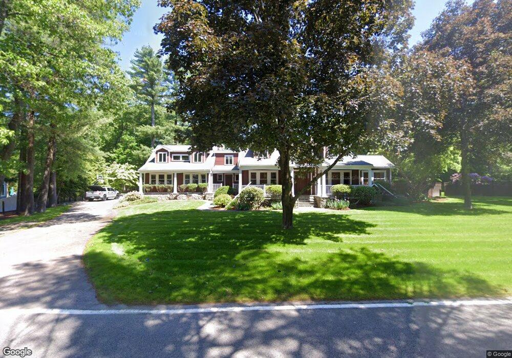
534 Everett St Westwood, MA 02090
Estimated Value: $1,084,000 - $1,927,000
3
Beds
2
Baths
1,948
Sq Ft
$799/Sq Ft
Est. Value
About This Home
This home is located at 534 Everett St, Westwood, MA 02090 and is currently estimated at $1,556,199, approximately $798 per square foot. 534 Everett St is a home located in Norfolk County with nearby schools including Westwood High School, St Catherine Of Siena School, and Beacon Scholastic Academy.
Ownership History
Date
Name
Owned For
Owner Type
Purchase Details
Closed on
May 9, 1996
Sold by
Rennie Paul C
Bought by
Pfaff Christopher A and Pfaff Debora A
Current Estimated Value
Purchase Details
Closed on
Aug 10, 1993
Sold by
Dooley Theodore M and Dooley Eugenie C
Bought by
Rennie Paul C
Create a Home Valuation Report for This Property
The Home Valuation Report is an in-depth analysis detailing your home's value as well as a comparison with similar homes in the area
Home Values in the Area
Average Home Value in this Area
Purchase History
| Date | Buyer | Sale Price | Title Company |
|---|---|---|---|
| Pfaff Christopher A | $270,000 | -- | |
| Rennie Paul C | $215,000 | -- |
Source: Public Records
Mortgage History
| Date | Status | Borrower | Loan Amount |
|---|---|---|---|
| Open | Rennie Paul C | $214,000 | |
| Closed | Rennie Paul C | $214,000 |
Source: Public Records
Tax History
| Year | Tax Paid | Tax Assessment Tax Assessment Total Assessment is a certain percentage of the fair market value that is determined by local assessors to be the total taxable value of land and additions on the property. | Land | Improvement |
|---|---|---|---|---|
| 2025 | $22,656 | $1,770,000 | $609,200 | $1,160,800 |
| 2024 | $21,604 | $1,686,500 | $580,800 | $1,105,700 |
| 2023 | $18,803 | $1,314,900 | $487,600 | $827,300 |
| 2022 | $18,663 | $1,258,450 | $431,200 | $827,250 |
| 2021 | $19,745 | $1,335,900 | $411,200 | $924,700 |
| 2020 | $18,307 | $1,261,650 | $411,200 | $850,450 |
| 2019 | $17,862 | $1,219,250 | $392,000 | $827,250 |
| 2018 | $16,742 | $1,109,500 | $392,000 | $717,500 |
| 2017 | $17,018 | $1,168,000 | $392,000 | $776,000 |
| 2016 | $16,583 | $1,131,200 | $392,000 | $739,200 |
| 2015 | $15,401 | $1,010,550 | $392,000 | $618,550 |
Source: Public Records
Map
Nearby Homes
- 355 Canton St
- 158 Strasser Ave
- 215 Blue Hill Dr
- 350 Blue Hill Dr
- 193 Vincent Rd
- 360 Blue Hill Dr
- 290 East St
- 130 University Ave Unit 1405
- 53 Winfield St
- 21 Birch St
- 59 Grafton Ave
- 19 Jefferson Dr
- 81 Earle St
- 389 Neponset St Unit A
- 433 Neponset St Unit A
- 989 East St Unit 402
- 14 Eldridge Place
- 8 Hillview Terrace
- 22 Azalea Cir
- 39 Westbrook Ln
Your Personal Tour Guide
Ask me questions while you tour the home.