534 Flagg Hill Rd Boxborough, MA 01719
Estimated Value: $1,133,000 - $1,297,659
4
Beds
4
Baths
2,876
Sq Ft
$413/Sq Ft
Est. Value
About This Home
This home is located at 534 Flagg Hill Rd, Boxborough, MA 01719 and is currently estimated at $1,188,553, approximately $413 per square foot. 534 Flagg Hill Rd is a home located in Middlesex County with nearby schools including Acton-Boxborough Regional High School.
Ownership History
Date
Name
Owned For
Owner Type
Purchase Details
Closed on
Sep 7, 2016
Sold by
Flagg Hill Road Llc
Bought by
Mcgregor Tracy L
Current Estimated Value
Home Financials for this Owner
Home Financials are based on the most recent Mortgage that was taken out on this home.
Original Mortgage
$760,570
Outstanding Balance
$608,488
Interest Rate
3.48%
Mortgage Type
Unknown
Estimated Equity
$580,065
Create a Home Valuation Report for This Property
The Home Valuation Report is an in-depth analysis detailing your home's value as well as a comparison with similar homes in the area
Home Values in the Area
Average Home Value in this Area
Purchase History
| Date | Buyer | Sale Price | Title Company |
|---|---|---|---|
| Mcgregor Tracy L | $800,600 | -- |
Source: Public Records
Mortgage History
| Date | Status | Borrower | Loan Amount |
|---|---|---|---|
| Open | Mcgregor Tracy L | $760,570 |
Source: Public Records
Tax History Compared to Growth
Tax History
| Year | Tax Paid | Tax Assessment Tax Assessment Total Assessment is a certain percentage of the fair market value that is determined by local assessors to be the total taxable value of land and additions on the property. | Land | Improvement |
|---|---|---|---|---|
| 2025 | $18,783 | $1,240,600 | $359,300 | $881,300 |
| 2024 | $17,170 | $1,145,400 | $347,300 | $798,100 |
| 2023 | $16,447 | $1,059,700 | $312,400 | $747,300 |
| 2022 | $15,615 | $896,400 | $312,400 | $584,000 |
| 2020 | $14,053 | $840,500 | $312,400 | $528,100 |
| 2019 | $13,801 | $840,500 | $312,400 | $528,100 |
| 2018 | $10 | $798,700 | $299,800 | $498,900 |
| 2017 | $13,041 | $775,800 | $299,800 | $476,000 |
| 2016 | $8,844 | $540,600 | $299,800 | $240,800 |
| 2015 | $4,274 | $256,700 | $256,700 | $0 |
Source: Public Records
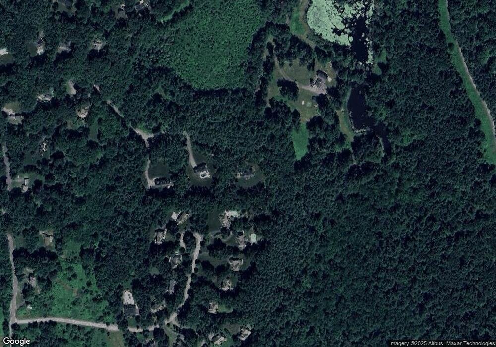
Map
Nearby Homes
- 30 Paul Revere Rd
- 207 Boxboro Rd
- 351 Burroughs Rd
- 20 Lyons Ln Unit 20
- 20 Lyons Ln
- 404 Arlington St
- 30-6 Taylor Rd
- 68 Macintosh Ln
- 52 Mayfair Dr
- 134 Russet Ln
- 17 Cherry Ridge Rd
- 349 Arlington St
- 92 Willow St Unit 3
- 92 Willow St Unit 2
- 90 Willow St Unit 1
- 79 Robbins St
- 26 Overlook Dr
- 1155 Burroughs Rd
- 4,7,8 Crestwood Ln
- 542 Massachusetts Ave