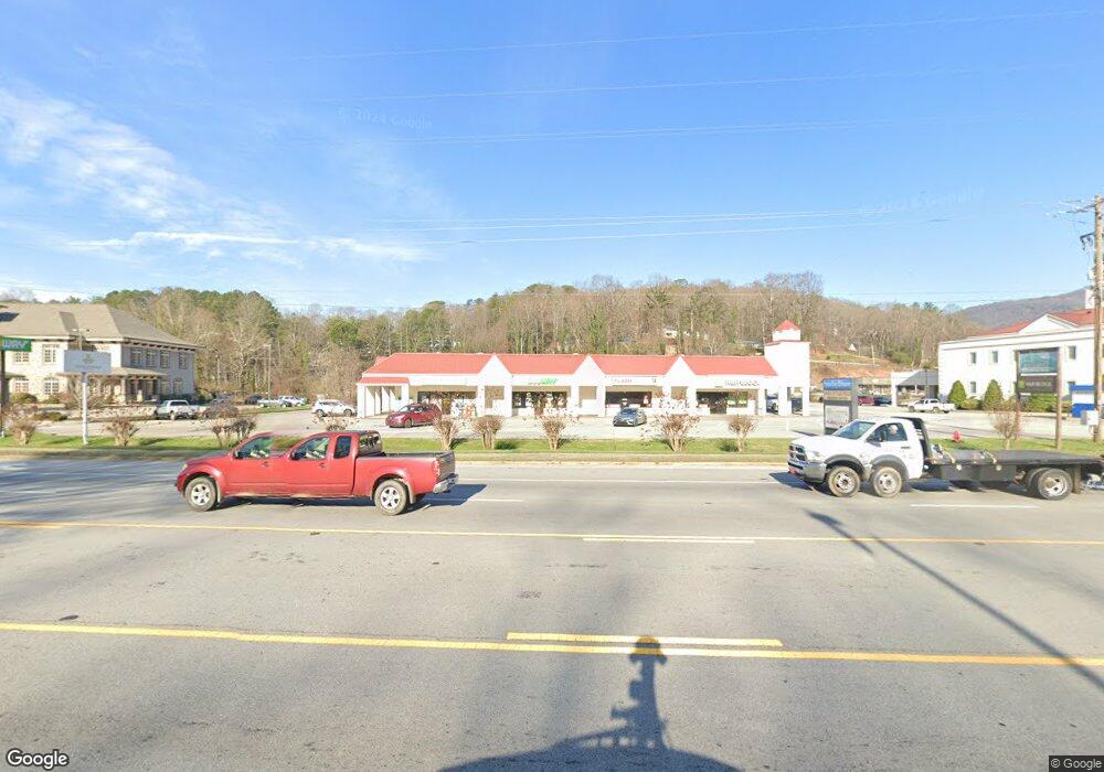
534 Highway 441 Way S Clayton, GA 30525
Estimated Value: $2,609,853
--
Bed
2
Baths
25,700
Sq Ft
$102/Sq Ft
Est. Value
About This Home
This home is located at 534 Highway 441 Way S, Clayton, GA 30525 and is currently estimated at $2,609,853, approximately $101 per square foot. 534 Highway 441 Way S is a home located in Rabun County with nearby schools including Rabun County Primary School, Rabun County High School, and Great Oaks Montessori .
Ownership History
Date
Name
Owned For
Owner Type
Purchase Details
Closed on
Feb 1, 2008
Sold by
Not Provided
Bought by
Clay Farms Llc
Current Estimated Value
Purchase Details
Closed on
Dec 1, 1997
Purchase Details
Closed on
Aug 1, 1988
Purchase Details
Closed on
Feb 1, 1983
Create a Home Valuation Report for This Property
The Home Valuation Report is an in-depth analysis detailing your home's value as well as a comparison with similar homes in the area
Home Values in the Area
Average Home Value in this Area
Purchase History
| Date | Buyer | Sale Price | Title Company |
|---|---|---|---|
| Clay Farms Llc | $1,200,000 | -- | |
| Clay Farms Llc | $1,200,000 | -- | |
| -- | $600,000 | -- | |
| -- | $600,000 | -- | |
| -- | $828,000 | -- | |
| -- | $828,000 | -- | |
| -- | -- | -- | |
| -- | -- | -- |
Source: Public Records
Tax History Compared to Growth
Tax History
| Year | Tax Paid | Tax Assessment Tax Assessment Total Assessment is a certain percentage of the fair market value that is determined by local assessors to be the total taxable value of land and additions on the property. | Land | Improvement |
|---|---|---|---|---|
| 2024 | $14,589 | $620,103 | $340,000 | $280,103 |
| 2023 | $16,175 | $620,103 | $340,000 | $280,103 |
| 2022 | $10,105 | $552,103 | $272,000 | $280,103 |
| 2021 | $12,992 | $475,602 | $272,000 | $203,602 |
| 2020 | $13,395 | $475,602 | $272,000 | $203,602 |
| 2019 | $9,290 | $475,602 | $272,000 | $203,602 |
| 2018 | $13,199 | $475,602 | $272,000 | $203,602 |
| 2017 | $8,941 | $475,602 | $272,000 | $203,602 |
| 2016 | $8,966 | $475,602 | $272,000 | $203,602 |
| 2015 | $9,155 | $475,373 | $272,000 | $203,373 |
| 2014 | $9,334 | $482,153 | $272,000 | $210,153 |
Source: Public Records
Map
Nearby Homes
- 0 Toole St Unit 10538991
- 49 Toole St
- 167 Travelers Ln
- 41 Mike Foster Ln
- 335 S Main St
- 7 Dry Pond Dr
- 0 Travelers Ln Unit 10608680
- 0 Travelers Ln Unit 10590360
- 893 Old 441 S
- 276 Dunlap St
- LOTS 92 & 93 Chechero Heights St
- 331 Duggan Hill Dr
- 4528 Highway 76 W
- 112 Clayton Dr
- 55 Cool Spring Ln
- 407 Hillside Dr
- 29 Cool Spring Ln
- 5 W Pinecrest Dr
- 0 Steepway Unit 10480160
- 0 Laurel Ln Unit 20110131
- 539 U S 441
- 596 U S 441
- 511 Old 441 S
- 543 Old 441 S
- 596 Highway 441 S
- 539 Old 441 S
- 0 Stave Mill St Unit 7586487
- 0 Stave Mill St Unit 7423952
- 0 Stave Mill St Unit 91-93
- 613 Highway 441 S
- 14 Turtle Cove Rd Unit 14
- 15 Turtle Cove Rd Unit 15
- 0 Shadyside Dr
- 0 Shadyside Dr
- 0 Shadyside Dr Unit 2799730
- 0 Shadyside Dr Unit 2799486
- 0 Shadyside Dr Unit 7196576
- 0 Shadyside Dr Unit 7131221
- 0 Shadyside Dr Unit 8120621
- 0 Shadyside Dr Unit 8593448