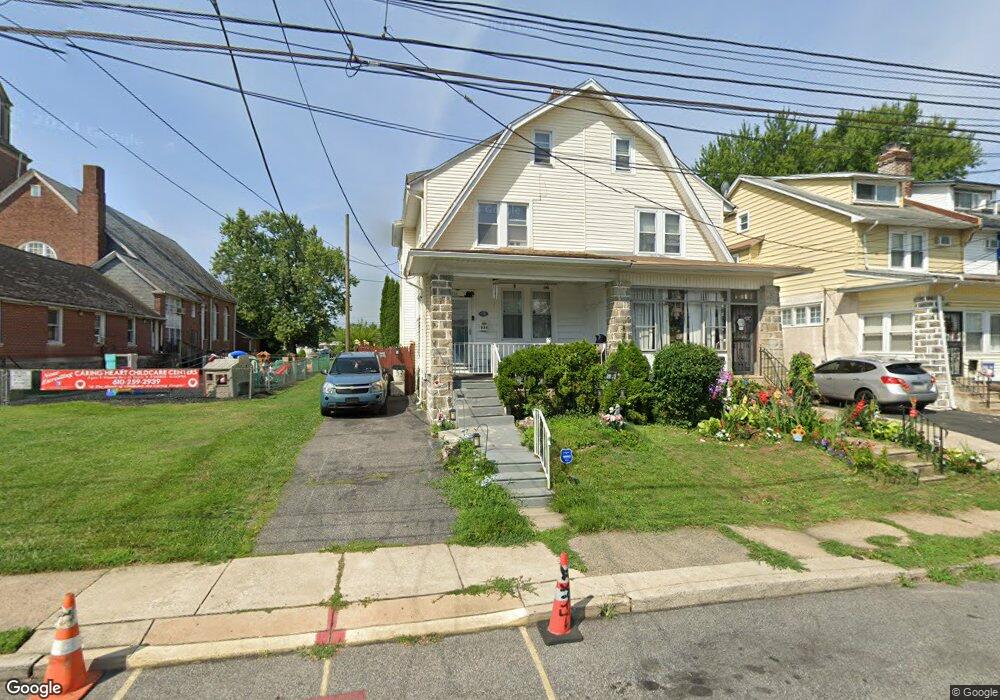
534 Laurel Rd Lansdowne, PA 19050
Estimated Value: $168,000 - $305,000
4
Beds
2
Baths
1,551
Sq Ft
$158/Sq Ft
Est. Value
About This Home
This home is located at 534 Laurel Rd, Lansdowne, PA 19050 and is currently estimated at $244,497, approximately $157 per square foot. 534 Laurel Rd is a home located in Delaware County with nearby schools including Evans Elementary School, Penn Wood Middle School, and Penn Wood High School - Cypress Street Campus.
Ownership History
Date
Name
Owned For
Owner Type
Purchase Details
Closed on
Sep 7, 2024
Sold by
Jones Mark E
Bought by
Jones Latasha S and Jones Mark E
Current Estimated Value
Purchase Details
Closed on
Jun 16, 2010
Sold by
Dougherty Bryan
Bought by
Jones Mark E
Home Financials for this Owner
Home Financials are based on the most recent Mortgage that was taken out on this home.
Original Mortgage
$147,020
Interest Rate
5.5%
Mortgage Type
FHA
Purchase Details
Closed on
Mar 3, 2010
Sold by
French Catherine R and Phillips Jean S
Bought by
Dougherty Bryan
Home Financials for this Owner
Home Financials are based on the most recent Mortgage that was taken out on this home.
Original Mortgage
$98,000
Interest Rate
5.05%
Mortgage Type
Future Advance Clause Open End Mortgage
Create a Home Valuation Report for This Property
The Home Valuation Report is an in-depth analysis detailing your home's value as well as a comparison with similar homes in the area
Home Values in the Area
Average Home Value in this Area
Purchase History
| Date | Buyer | Sale Price | Title Company |
|---|---|---|---|
| Jones Latasha S | -- | None Listed On Document | |
| Jones Mark E | $149,000 | None Available | |
| Dougherty Bryan | $74,000 | None Available |
Source: Public Records
Mortgage History
| Date | Status | Borrower | Loan Amount |
|---|---|---|---|
| Previous Owner | Jones Mark E | $147,020 | |
| Previous Owner | Dougherty Bryan | $98,000 |
Source: Public Records
Tax History
| Year | Tax Paid | Tax Assessment Tax Assessment Total Assessment is a certain percentage of the fair market value that is determined by local assessors to be the total taxable value of land and additions on the property. | Land | Improvement |
|---|---|---|---|---|
| 2025 | $4,485 | $105,040 | $32,920 | $72,120 |
| 2024 | $4,485 | $105,040 | $32,920 | $72,120 |
| 2023 | $4,074 | $105,040 | $32,920 | $72,120 |
| 2022 | $3,884 | $105,040 | $32,920 | $72,120 |
| 2021 | $5,874 | $105,040 | $32,920 | $72,120 |
| 2020 | $4,214 | $67,470 | $18,990 | $48,480 |
| 2019 | $4,139 | $67,470 | $18,990 | $48,480 |
| 2018 | $4,082 | $67,470 | $0 | $0 |
| 2017 | $3,996 | $67,470 | $0 | $0 |
| 2016 | $370 | $67,470 | $0 | $0 |
| 2015 | $378 | $67,470 | $0 | $0 |
| 2014 | $370 | $67,470 | $0 | $0 |
Source: Public Records
Map
Nearby Homes
Your Personal Tour Guide
Ask me questions while you tour the home.