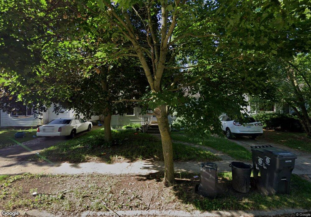
534 Macdonald Ave Flint, MI 48507
Circle Drive NeighborhoodEstimated Value: $74,000 - $89,000
Studio
1
Bath
924
Sq Ft
$87/Sq Ft
Est. Value
About This Home
This home is located at 534 Macdonald Ave, Flint, MI 48507 and is currently estimated at $80,408, approximately $87 per square foot. 534 Macdonald Ave is a home located in Genesee County with nearby schools including Freeman Elementary School, Flint Southwestern Classical Academy, and International Academy of Flint (K-12).
Ownership History
Date
Name
Owned For
Owner Type
Purchase Details
Closed on
Jan 20, 2021
Sold by
Genesee County Land Bank Authority
Bought by
Shannon Sylvia Marie
Current Estimated Value
Purchase Details
Closed on
Aug 5, 2015
Sold by
The Genesee County Land Bank Authority
Bought by
Shannon Sylvia Marie
Purchase Details
Closed on
Dec 22, 2014
Sold by
Genesee County Treasurer
Bought by
Genesee County Land Bank
Purchase Details
Closed on
Jun 23, 2000
Sold by
Barlow Scott and Greanya Maria Lee
Bought by
Greanya Maria Lee
Purchase Details
Closed on
Apr 15, 1999
Sold by
Genore A Genore J and Genore Susan E
Bought by
Barlow Scott and Greanya Maria Lee
Create a Home Valuation Report for This Property
The Home Valuation Report is an in-depth analysis detailing your home's value as well as a comparison with similar homes in the area
Home Values in the Area
Average Home Value in this Area
Purchase History
| Date | Buyer | Sale Price | Title Company |
|---|---|---|---|
| Shannon Sylvia Marie | $13,000 | None Listed On Document | |
| Shannon Sylvia Marie | $13,000 | None Available | |
| Genesee County Land Bank | -- | None Available | |
| Greanya Maria Lee | $62,840 | Sargents Title Company | |
| Barlow Scott | $64,000 | Sargents Title Company Llc |
Source: Public Records
Tax History
| Year | Tax Paid | Tax Assessment Tax Assessment Total Assessment is a certain percentage of the fair market value that is determined by local assessors to be the total taxable value of land and additions on the property. | Land | Improvement |
|---|---|---|---|---|
| 2025 | $1,010 | $34,900 | $0 | $0 |
| 2024 | $914 | $31,200 | $0 | $0 |
| 2023 | $897 | $27,300 | $0 | $0 |
| 2022 | $0 | $22,300 | $0 | $0 |
| 2021 | $933 | $19,800 | $0 | $0 |
| 2020 | $841 | $15,800 | $0 | $0 |
| 2019 | $819 | $12,500 | $0 | $0 |
| 2018 | $820 | $11,600 | $0 | $0 |
| 2017 | $799 | $0 | $0 | $0 |
| 2016 | $794 | $0 | $0 | $0 |
| 2015 | -- | $0 | $0 | $0 |
| 2014 | -- | $0 | $0 | $0 |
| 2012 | -- | $15,300 | $0 | $0 |
Source: Public Records
Map
Nearby Homes
- 530 McKeighan Ave
- 802 McKeighan Ave
- 621 Lochhead Ave
- 818 Dell Ave
- 4424 Cheyenne Ave
- 4127 Custer Ave
- 338 Browning Ave
- 4205 Red Arrow Rd
- 3442 Griffith Ct
- 621 Burroughs Ave
- 630 Buckingham Ave
- 416 Burroughs Ave
- 3512 Barcey Ct
- 326 Burroughs Ave
- 4526 Milton Dr
- 2194 E Bristol Rd
- 352 Buckingham Ave
- 361 Buckingham Ave
- 2231 E Bergin Ave
- 0000 E Bristol Rd
- 602 Macdonald Ave
- 530 Macdonald Ave
- 617 E Hemphill Rd
- 625 E Hemphill Rd
- 524 Macdonald Ave
- 606 Macdonald Ave
- 633 E Hemphill Rd
- 518 Macdonald Ave
- 0 E Hemphill Rd Unit G1202 20058652
- 0 E Hemphill Rd Unit G1202 20381505
- 0 E Hemphill Rd Unit 30014892
- 4615 Red Arrow Rd
- 610 Macdonald Ave
- 2278 E Hemphill Rd
- 641 E Hemphill Rd
- Lot 94 Hemphill Rd
- 2116 Hemphill Rd
- 2180 Hemphill Rd
- 12245 E Mt Morris Rd Hemphill Rd
- 614 Macdonald Ave
Your Personal Tour Guide
Ask me questions while you tour the home.