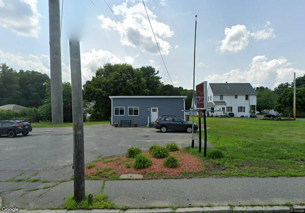
534 Merrimack St Methuen, MA 01844
The North End NeighborhoodEstimated Value: $291,711
--
Bed
--
Bath
476
Sq Ft
$613/Sq Ft
Est. Value
About This Home
This home is located at 534 Merrimack St, Methuen, MA 01844 and is currently estimated at $291,711, approximately $612 per square foot. 534 Merrimack St is a home located in Essex County with nearby schools including Methuen High School, Community Day Charter Public School - Gateway, and Silver Hill Elementary School.
Ownership History
Date
Name
Owned For
Owner Type
Purchase Details
Closed on
May 21, 1997
Sold by
Desmet John G
Bought by
Farrell Edwin
Current Estimated Value
Home Financials for this Owner
Home Financials are based on the most recent Mortgage that was taken out on this home.
Original Mortgage
$65,000
Outstanding Balance
$8,964
Interest Rate
8.08%
Mortgage Type
Commercial
Estimated Equity
$282,747
Create a Home Valuation Report for This Property
The Home Valuation Report is an in-depth analysis detailing your home's value as well as a comparison with similar homes in the area
Home Values in the Area
Average Home Value in this Area
Purchase History
| Date | Buyer | Sale Price | Title Company |
|---|---|---|---|
| Farrell Edwin | $85,000 | -- | |
| Farrell Edwin | $85,000 | -- |
Source: Public Records
Mortgage History
| Date | Status | Borrower | Loan Amount |
|---|---|---|---|
| Open | Farrell Edwin | $65,000 | |
| Closed | Farrell Edwin | $65,000 |
Source: Public Records
Tax History Compared to Growth
Tax History
| Year | Tax Paid | Tax Assessment Tax Assessment Total Assessment is a certain percentage of the fair market value that is determined by local assessors to be the total taxable value of land and additions on the property. | Land | Improvement |
|---|---|---|---|---|
| 2025 | $4,833 | $235,200 | $191,000 | $44,200 |
| 2024 | $4,639 | $220,900 | $179,700 | $41,200 |
| 2023 | $4,747 | $208,400 | $168,500 | $39,900 |
| 2022 | $5,019 | $195,900 | $157,300 | $38,600 |
| 2021 | $4,794 | $184,300 | $146,000 | $38,300 |
| 2020 | $4,603 | $173,100 | $134,800 | $38,300 |
| 2019 | $4,648 | $164,700 | $129,200 | $35,500 |
| 2018 | $4,630 | $164,700 | $129,200 | $35,500 |
| 2017 | $4,475 | $164,700 | $129,200 | $35,500 |
| 2016 | $4,305 | $164,700 | $129,200 | $35,500 |
| 2015 | $4,068 | $159,100 | $123,600 | $35,500 |
Source: Public Records
Map
Nearby Homes
- 3 Webster Ave
- 46 Oneida St
- 15 Enfield Ave
- 4 Natasha Cir
- 17 Scotland Heights Rd
- 1376 River St Unit 1
- 17 Ferry Rd
- 95 Pilgrim Cir Unit 95
- 7 Sequoia Dr Unit 7
- 331 Merrimack St
- 23 Constitution Way Unit 23
- 23 Constitution Way
- 18 Maple Ridge Rd
- 10 Albermarle St
- 66 Newbury Ave
- 3 Michael Anthony Rd
- 46 Gaston St
- 29 Pitman St
- 4 Horne St
- 70 Birch Ave
- 4 Whittier St
- 532 Merrimack St
- 5 Renfrew St
- 536 Merrimack St
- 8 Whittier St
- 7 Whittier St
- 9 Renfrew St
- 528 Merrimack St
- 11 Whittier St
- 538 Merrimack St
- 524 Merrimack St
- 15 Whittier St
- 2 Renfrew St
- 540 Merrimack St
- 20 Renfrew St
- 542 Merrimack St
- 24 Renfrew St
- 3 Brookdale Ave
- 5 Brookdale Ave
- 2 Brookdale Ave