534 N Admirals Pointe Dr Lafayette, IN 47909
Estimated Value: $528,000 - $534,000
--
Bed
1
Bath
2,432
Sq Ft
$218/Sq Ft
Est. Value
About This Home
This home is located at 534 N Admirals Pointe Dr, Lafayette, IN 47909 and is currently estimated at $531,331, approximately $218 per square foot. 534 N Admirals Pointe Dr is a home located in Tippecanoe County with nearby schools including Mintonye Elementary School, Southwestern Middle School, and McCutcheon High School.
Ownership History
Date
Name
Owned For
Owner Type
Purchase Details
Closed on
Jul 30, 2007
Sold by
Hooper Billy E and Hooper Janice J
Bought by
Ferger Karl P and Ferger Pamela J
Current Estimated Value
Home Financials for this Owner
Home Financials are based on the most recent Mortgage that was taken out on this home.
Original Mortgage
$75,000
Interest Rate
6.73%
Mortgage Type
Unknown
Purchase Details
Closed on
Jan 21, 2005
Sold by
Hooper Janice J
Bought by
Hooper Billy E and Hooper Janice J
Create a Home Valuation Report for This Property
The Home Valuation Report is an in-depth analysis detailing your home's value as well as a comparison with similar homes in the area
Home Values in the Area
Average Home Value in this Area
Purchase History
| Date | Buyer | Sale Price | Title Company |
|---|---|---|---|
| Ferger Karl P | -- | None Available | |
| Hooper Billy E | -- | -- |
Source: Public Records
Mortgage History
| Date | Status | Borrower | Loan Amount |
|---|---|---|---|
| Closed | Ferger Karl P | $75,000 |
Source: Public Records
Tax History Compared to Growth
Tax History
| Year | Tax Paid | Tax Assessment Tax Assessment Total Assessment is a certain percentage of the fair market value that is determined by local assessors to be the total taxable value of land and additions on the property. | Land | Improvement |
|---|---|---|---|---|
| 2024 | $3,725 | $478,200 | $70,000 | $408,200 |
| 2023 | $3,619 | $468,600 | $70,000 | $398,600 |
| 2022 | $3,014 | $383,500 | $43,700 | $339,800 |
| 2021 | $2,667 | $342,200 | $43,700 | $298,500 |
| 2020 | $2,525 | $330,700 | $43,700 | $287,000 |
| 2019 | $2,266 | $315,600 | $43,700 | $271,900 |
| 2018 | $2,088 | $299,300 | $43,700 | $255,600 |
| 2017 | $2,064 | $292,900 | $43,700 | $249,200 |
| 2016 | $2,030 | $291,200 | $43,700 | $247,500 |
| 2014 | $1,923 | $279,800 | $43,700 | $236,100 |
| 2013 | $2,029 | $279,900 | $43,700 | $236,200 |
Source: Public Records
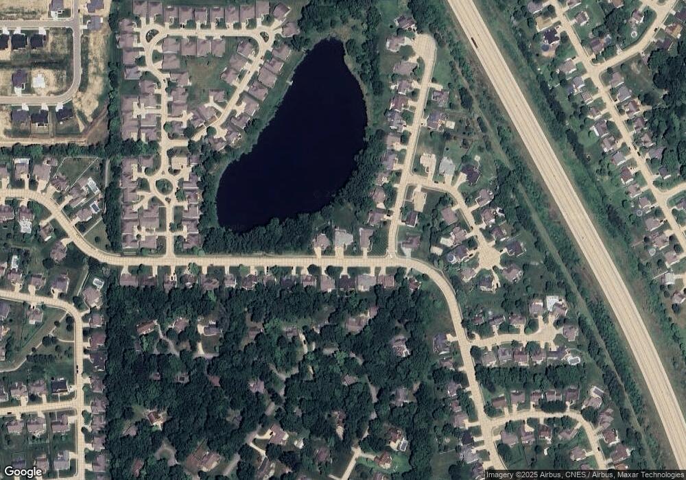
Map
Nearby Homes
- 605 Spinnaker Trace
- 4901 Chickadee Dr
- 775 N Admirals Pointe Dr
- 4654 Flagship Ln
- 825 Ravenstone Dr
- 857 Ravenstone Dr
- 880 Drydock Dr
- 4902 Osprey Ct
- 892 Ravenstone Dr
- 0 W 500 S
- 1062 N Admirals Pointe Dr
- 4336 Admirals Cove Dr
- 4254-4268 Admirals Cove Dr
- 4108 Westwind Dr
- 214 Mccutcheon Dr
- 809 Ravenstone Dr
- 122 Detchon Ct
- 603 West St
- 825 Drydock Dr
- 5127 Old Us Highway 231 S
- 550 N Admirals Pointe Dr
- 516 N Admirals Pointe Dr
- 4562 Cormorant Dr
- 549 N Admirals Pointe Dr
- 533 N Admirals Pointe Dr
- 4558 Cormorant Dr
- 517 N Admirals Pointe Dr
- 565 N Admirals Pointe Dr
- 501 N Admirals Pointe Dr
- 4567 Cormorant Dr
- 4554 Cormorant Dr
- 581 N Admirals Pointe Dr
- 4563 Cormorant Dr
- 4517 Admirals Pointe Dr
- 4670 Whippoorwill Dr
- 597 Admirals Point
- 597 N Admirals Pointe Dr
- 4559 Cormorant Dr
- 4550 Cormorant Dr
- 4680 Whippoorwill Dr