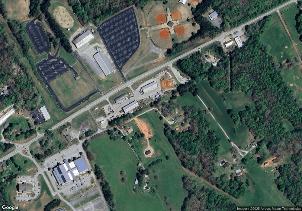
534 Paul Franklin Rd Clarkesville, GA 30523
Estimated Value: $516,000 - $725,582
4
Beds
3
Baths
3,472
Sq Ft
$169/Sq Ft
Est. Value
About This Home
This home is located at 534 Paul Franklin Rd, Clarkesville, GA 30523 and is currently estimated at $586,861, approximately $169 per square foot. 534 Paul Franklin Rd is a home located in Habersham County with nearby schools including Clarkesville Elementary School, North Habersham Middle School, and Habersham Success Academy.
Ownership History
Date
Name
Owned For
Owner Type
Purchase Details
Closed on
Oct 17, 2022
Sold by
Chapman Michael
Bought by
Chapman Sandra Lee Franklin
Current Estimated Value
Purchase Details
Closed on
Sep 1, 2017
Sold by
Franklin Donald Paul
Bought by
Chapman Sandra Lee Franklin
Create a Home Valuation Report for This Property
The Home Valuation Report is an in-depth analysis detailing your home's value as well as a comparison with similar homes in the area
Home Values in the Area
Average Home Value in this Area
Purchase History
| Date | Buyer | Sale Price | Title Company |
|---|---|---|---|
| Chapman Sandra Lee Franklin | -- | -- | |
| Chapman Sandra Lee Franklin | -- | -- |
Source: Public Records
Tax History Compared to Growth
Tax History
| Year | Tax Paid | Tax Assessment Tax Assessment Total Assessment is a certain percentage of the fair market value that is determined by local assessors to be the total taxable value of land and additions on the property. | Land | Improvement |
|---|---|---|---|---|
| 2025 | $3,912 | $356,994 | $220,500 | $136,494 |
| 2024 | -- | $238,296 | $119,040 | $119,256 |
| 2023 | $2,360 | $218,208 | $119,040 | $99,168 |
| 2022 | $2,541 | $204,264 | $119,040 | $85,224 |
| 2021 | $2,015 | $167,472 | $89,280 | $78,192 |
| 2020 | $3,971 | $157,240 | $89,280 | $67,960 |
| 2019 | $3,976 | $157,240 | $89,280 | $67,960 |
| 2018 | $4,149 | $157,240 | $89,280 | $67,960 |
| 2017 | $4,050 | $152,740 | $89,280 | $63,460 |
| 2016 | $3,737 | $363,250 | $81,840 | $63,460 |
| 2015 | $3,693 | $363,250 | $81,840 | $63,460 |
| 2014 | $3,726 | $359,840 | $81,840 | $62,096 |
| 2013 | -- | $143,936 | $81,840 | $62,096 |
Source: Public Records
Map
Nearby Homes
- 409 Roper Dr
- 405 Roper Dr
- 395 E Louise St
- 2207 Blacksnake Rd
- 4230 Hollywood Hwy
- 372 Abbington Way
- 253 Lacount Ln
- 281 Abbington Way
- 135 Village Dr
- 849 Blacksnake Rd
- 382 Sherwood Dr
- 643 Washington St
- 205 Flesner Ct
- 745 Washington St
- 222 N Mize Rd
- 176 Llewellyn St
- 172 Llewellyn St
- 180 Llewellyn St
- 0 Gladston Rd
- 0 Ivy Ridge Way Unit LOT 40 10327774
- 561 Paul Franklin Rd
- 500 Paul Franklin Rd
- 184 Paul Franklin Rd
- 208 Paul Franklin Rd
- 4110 Toccoa Hwy
- 170 Paul Franklin Rd
- 4044 Hwy 115 W
- 3988 Toccoa Hwy
- 3992 Toccoa Hwy
- 3988 State Route 115
- 110 Hwy 17 115 120
- 3997 Toccoa Hwy
- 0 Camelot Way
- 0 Camelot Way Unit 10022936
- 0 Camelot Way Unit 8334043
- 3808 Toccoa Hwy
- 4336 Toccoa Hwy
- 4388 Toccoa Hwy
- 3772 Toccoa Hwy
- 205 Enchanted Hills Dr
