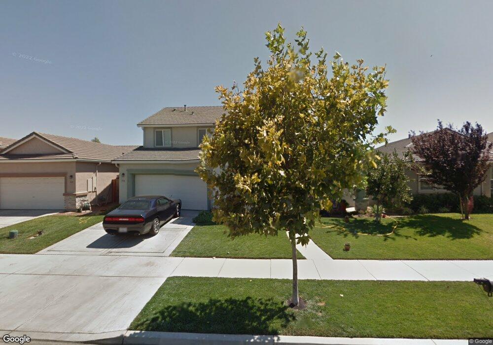
534 Rowland Ct Merced, CA 95348
Bellevue Ranch NeighborhoodEstimated Value: $349,000 - $540,000
4
Beds
2
Baths
2,500
Sq Ft
$192/Sq Ft
Est. Value
About This Home
This home is located at 534 Rowland Ct, Merced, CA 95348 and is currently estimated at $478,902, approximately $191 per square foot. 534 Rowland Ct is a home located in Merced County with nearby schools including Don Stowell Elementary School, Herbert H. Cruickshank Middle School, and El Capitan High School.
Ownership History
Date
Name
Owned For
Owner Type
Purchase Details
Closed on
Feb 8, 2008
Sold by
Kimball Hill Bellevue Ranch Llc
Bought by
Deanda Tim and Deanda Ruth
Current Estimated Value
Home Financials for this Owner
Home Financials are based on the most recent Mortgage that was taken out on this home.
Original Mortgage
$260,000
Outstanding Balance
$163,829
Interest Rate
6.04%
Mortgage Type
VA
Estimated Equity
$315,073
Create a Home Valuation Report for This Property
The Home Valuation Report is an in-depth analysis detailing your home's value as well as a comparison with similar homes in the area
Home Values in the Area
Average Home Value in this Area
Purchase History
We collect this data history from publicly available records. To have your information removed, we recommend requesting removal directly through your county’s website.
| Date | Buyer | Sale Price | Title Company |
|---|---|---|---|
| Deanda Tim | $270,000 | Placer Title Company |
Source: Public Records
Mortgage History
We collect this data history from publicly available records. To have your information removed, we recommend requesting removal directly through your county’s website.
| Date | Status | Borrower | Loan Amount |
|---|---|---|---|
| Open | Deanda Tim | $260,000 |
Source: Public Records
Tax History
| Year | Tax Paid | Tax Assessment Tax Assessment Total Assessment is a certain percentage of the fair market value that is determined by local assessors to be the total taxable value of land and additions on the property. | Land | Improvement |
|---|---|---|---|---|
| 2025 | $5,237 | $354,634 | $105,073 | $249,561 |
| 2024 | $5,237 | $347,681 | $103,013 | $244,668 |
| 2023 | $5,155 | $340,865 | $100,994 | $239,871 |
| 2022 | $5,061 | $334,182 | $99,014 | $235,168 |
| 2021 | $4,989 | $327,630 | $97,073 | $230,557 |
| 2020 | $5,004 | $324,271 | $96,078 | $228,193 |
| 2019 | $4,980 | $317,914 | $94,195 | $223,719 |
| 2018 | $4,661 | $311,682 | $92,349 | $219,333 |
| 2017 | $4,758 | $305,572 | $90,539 | $215,033 |
| 2016 | $4,683 | $299,581 | $88,764 | $210,817 |
| 2015 | $4,617 | $295,082 | $87,431 | $207,651 |
| 2014 | $4,513 | $287,000 | $30,000 | $257,000 |
Source: Public Records
Map
Nearby Homes
- 4374 Briggs Ln
- 4488 Cohen Ct
- 4407 Pickworth Ct
- 697 Heitz Ct
- 4407 Kerr Ct
- 689 Coppola Ct
- 4672 Beckman Way
- 4324 Strathmore Place
- 4651 Stern Dr
- 826 Courtney Ct
- 4626 Sami Jo Dr
- 4639 Sami Jo Dr
- 4718 Alexandra Ct Unit 35 B1
- 4668 Jema Way
- 4726 Alexandra Ct
- 4792 Alexandra Ct
- 4715 Isabella Ct Unit 23 B1
- 47726 Alexandra Ct Unit 34 B1
- 4692 Jema Way
- 4768 Alexandra Ct Unit 32 B1
Your Personal Tour Guide
Ask me questions while you tour the home.